 Louisiana Highway 830 | ||||
|---|---|---|---|---|
| Route information | ||||
| Maintained by Louisiana DOTD | ||||
| Location | ||||
| Country | United States | |||
| State | Louisiana | |||
| Highway system | ||||
| ||||
| ||||
Louisiana Highway 830 is a collection of six state highways which serve Bastrop in Morehouse Parish.
| Louisiana Highway 830 | ||||
|---|---|---|---|---|
| Route information | ||||
| Maintained by Louisiana DOTD | ||||
| Location | ||||
| Country | United States | |||
| State | Louisiana | |||
| Highway system | ||||
| ||||
| ||||
Louisiana Highway 830 is a collection of six state highways which serve Bastrop in Morehouse Parish.
Louisiana Highway 830-1 | |
|---|---|
| Location | Bastrop |
| Length | 2.84 mi (4.57 km) |
Louisiana Highway 830-1 (LA 830-1) spans 2.84 miles (4.57 km) from west to east and is known as Pleasant Drive, Van Avenue, and Harrington Avenue. It connects LA 592 to US 425. LA 830-1 also serves as the terminus for LA 592.
The entire highway is in Bastrop, Morehouse Parish.
| mi | km | Destinations | Notes | ||
|---|---|---|---|---|---|
| 0.00 | 0.00 | ||||
| 2.84 | 4.57 | ||||
| 1.000 mi = 1.609 km; 1.000 km = 0.621 mi | |||||
Louisiana Highway 830-2 | |
|---|---|
| Location | Bastrop |
| Length | 2.95 mi (4.75 km) |
Louisiana Highway 830-2 (LA 830-2) spans 2.95 miles (4.75 km) from south to north and is known as Shelton Road. From the south, LA 830-2 begins at an intersection with US 425. It ends at an at-grade crossing with the AL&M RR.
The entire highway is in Bastrop, Morehouse Parish.
| mi | km | Destinations | Notes | ||
|---|---|---|---|---|---|
| 0.00 | 0.00 | ||||
| 2.95 | 4.75 | End state maintenance; AL&M RR | |||
| 1.000 mi = 1.609 km; 1.000 km = 0.621 mi | |||||
Louisiana Highway 830-3 | |
|---|---|
| Location | Bastrop |
| Length | 3.60 mi (5.79 km) |
Louisiana Highway 830-3 (LA 830-3) spans 3.60 miles (5.79 km) from west to east and is known as Cherry Ridge Road. From the west, LA 830-3 begins at an intersection with US 425. It crosses LA 830-6, known as McCreight Street. It then serves as the terminus for LA 830-4, known as Cooper Lake Road. LA 830-3 ends at an intersection with US 165, US 425, and LA 2.
The entire highway is in Bastrop, Morehouse Parish.
| mi | km | Destinations | Notes | ||
|---|---|---|---|---|---|
| 0.00 | 0.00 | ||||
| 0.33 | 0.53 | ||||
| 2.12 | 3.41 | ||||
| 3.60 | 5.79 | ||||
| 1.000 mi = 1.609 km; 1.000 km = 0.621 mi | |||||
Louisiana Highway 830-4 | |
|---|---|
| Location | Bastrop |
| Length | 1.72 mi (2.77 km) |
Louisiana Highway 830-4 (LA 830-4) spans 1.72 miles (2.77 km) from west to east and is known as Cooper Lake Road. From the south, LA 830-4 begins at an intersection with US 165/US 425/LA 2. It ends at an intersection with LA 830-3 to the east.
The entire highway is in Bastrop, Morehouse Parish.
| mi | km | Destinations | Notes | ||
|---|---|---|---|---|---|
| 0.00 | 0.00 | ||||
| 1.72 | 2.77 | ||||
| 1.000 mi = 1.609 km; 1.000 km = 0.621 mi | |||||
Louisiana Highway 830-5 | |
|---|---|
| Location | Bastrop |
| Length | 1.44 mi (2.32 km) |
Louisiana Highway 830-5 (LA 830-5) spans 1.44 miles (2.32 km) from south to north and is known as Elm Street. From the south, LA 830-5 begins at an intersection with LA 593. It ends at an intersection with US 165/US 425/Louisiana Highway 2 to the north.
The entire highway is in Bastrop, Morehouse Parish.
| mi | km | Destinations | Notes | ||
|---|---|---|---|---|---|
| 0.00 | 0.00 | ||||
| 1.44 | 2.32 | ||||
| 1.000 mi = 1.609 km; 1.000 km = 0.621 mi | |||||
Louisiana Highway 830-6 | |
|---|---|
| Location | Bastrop |
| Length | 1.55 mi (2.49 km) |
Louisiana Highway 830-6 (LA 830-6) spans 1.55 miles (2.49 km) from south to north and is known as McCreight Lane. From the south, LA 830-6 begins at an intersection with US 165/US 425/Louisiana Highway 2. It crosses LA 830-3, known as Cherry Ridge Road, before ending at US 425.
The entire highway is in Bastrop, Morehouse Parish.
| mi | km | Destinations | Notes | ||
|---|---|---|---|---|---|
| 0.00 | 0.00 | ||||
| 1.11 | 1.79 | ||||
| 1.55 | 2.49 | ||||
| 1.000 mi = 1.609 km; 1.000 km = 0.621 mi | |||||

U.S. Route 425 (US 425) is a north–south United States highway that travels in the U.S. states of Mississippi, Louisiana, and Arkansas. It was first commissioned in 1989.
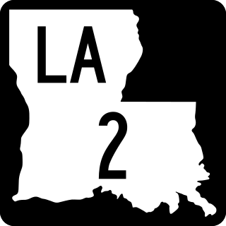
Louisiana Highway 2 (LA 2) is a state highway located in northern Louisiana. It runs 189.49 miles (304.95 km) in an east–west direction from the Texas state line southwest of Vivian to a junction with U.S. Highway 65 (US 65) near Lake Providence, just west of the Mississippi state line.
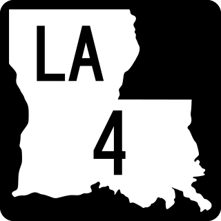
Louisiana Highway 4 (LA 4) is a state highway located in northern Louisiana. It runs 164.54 miles (264.80 km) in an east–west direction from U.S. Highway 71 (US 71) at Loggy Bayou to LA 605 in Newellton.
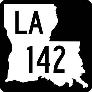
Louisiana Highway 142 (LA 142) is a state highway located in Morehouse Parish, Louisiana. It runs 8.75 miles (14.08 km) in a north–south direction from U.S. Highway 425 (US 425) north of Bastrop through Beekman to the Arkansas state line.

Louisiana Highway 139 (LA 139) is a state highway located in northeastern Louisiana. It runs 20.20 miles (32.51 km) in a north–south direction from U.S. Highway 80 (US 80) in Monroe to the junction of US 165, US 425, LA 2, and LA 593 in Bastrop.

Louisiana Highway 136 (LA 136) is a state highway located in Ouachita Parish, Louisiana that runs 3.50 miles (5.63 km) in a north–south direction from LA 134 at Fairbanks to a junction with U.S. Highway 165 (US 165) and LA 2 at the eastern limit of Sterlington.

Louisiana Highway 1208 is a collection of five state highways which serve Alexandria in Rapides Parish.
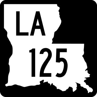
Louisiana Highway 125 (LA 125) is a state highway located in LaSalle Parish, Louisiana. It runs 12.51 miles (20.13 km) in a southwest to northeast direction from U.S. Highway 165 (US 165) in Tullos to a second junction with US 165 northeast of Olla.

Louisiana Highway 130 (LA 130) is a state highway located in Franklin Parish, Louisiana. It runs 7.32 miles (11.78 km) in an east–west direction from LA 135 north of Liddieville to a junction with U.S. Highway 425 (US 425), LA 4, LA 15, and LA 17 in Winnsboro.
Louisiana Highway 138 (LA 138) is a state highway located in Morehouse Parish, Louisiana. It runs 12.74 miles (20.50 km) in a north–south direction from LA 134 south of Collinston to a junction with U.S. Highway 165 (US 165), U.S. Highway 425 (US 425), and LA 2 in Mer Rouge.
Louisiana Highway 140 (LA 140) is a state highway located in Morehouse Parish, Louisiana. It runs 14.76 miles (23.75 km) in an east–west direction from U.S. Highway 425 (US 425) in Log Cabin to a junction with U.S. Highway 165 (US 165) and LA 599 in Bonita.
Louisiana Highway 840 is a collection of two current state highways which serve Monroe and West Monroe in Ouachita Parish, and three deleted state highways.