
Lūznava Parish is an administrative unit of the Rēzekne Municipality, Latvia. The administrative center of the parish is the village Lūznava, the main attraction is the Lūznava Manor.

Malta Parish is an administrative unit of Rēzekne Municipality, Latvia.

Mākoņkalns Parish is an administrative unit of Rēzekne Municipality, Latvia.
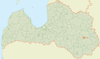
Sakstagals Parish is an administrative unit of Rēzekne Municipality, Latvia.

Silmala Parish is an administrative unit of Rēzekne Municipality, Latvia.

Stoļerova Parish is an administrative unit of Rēzekne Municipality, Latvia.
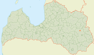
Stružāni Parish is an administrative unit of Rēzekne Municipality, Latvia.

Vērēmi Parish is an administrative unit of Rēzekne Municipality, Latvia.
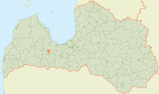
Lestene Parish is an administrative unit of Tukums Municipality in the Semigallia region of Latvia. The administrative center is Lestene.

Ogre Municipality is a municipality in Vidzeme, Latvia. The municipality was formed in 2002 by merging Ogre town and Ogresgals Parish. In 2009 it absorbed Krape Parish, Ķeipene Parish, Laubere Parish, Madliena Parish, Mazozoli Parish, Meņģele Parish, Suntaži Parish and Taurupe Parish, the administrative centre being Ogre. The population in 2021 was 57,617.

Jumprava Parish is an administrative unit of Ogre Municipality in the Vidzeme region of Latvia. The administrative center is Jumprava village.

Krape Parish is an administrative unit of Ogre Municipality in the Vidzeme region of Latvia. Its center is Krape.

Ķeipene Parish is an administrative unit of Ogre Municipality in the Vidzeme region of Latvia. Its center is the village of Ķeipene.

Meņģele Parish is an administrative unit of Ogre Municipality in the Vidzeme region of Latvia. Its center is Meņģele.

Taurupe Parish is an administrative unit of Ogre Municipality in the Vidzeme region of Latvia. Its center is the village of Taurupe, located near Taurupe Manor. Before 1925, the parish was called Aderkaši Parish.

Dunava Parish is an administrative unit of Jēkabpils Municipality, Latvia.

Elkšņi Parish is an administrative unit of Jēkabpils Municipality in the Selonia region of Latvia. The administrative center is Elkšņi village.
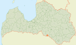
Rite Parish is an administrative territorial entity of Jēkabpils Municipality in the Selonia region of Latvia. Prior to 2009, it was an administrative unit of the former Jēkabpils District. The administrative center is Cīruļi village.
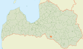
Sauka Parish is an administrative unit of Jēkabpils Municipality in the Selonia region of Latvia. Prior to 2009, it was an administrative unit of the former Jēkabpils District. The administrative center is Lone, Latvia village.
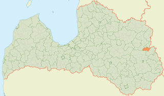
Salnava Parish is an administrative unit of Ludza Municipality in the Latgale region of Latvia. Prior to the 2009 administrative reforms it was part of the former Ludza District.


