
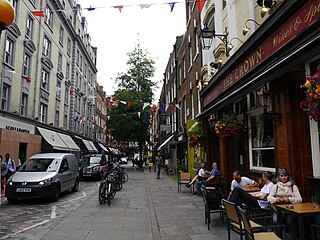
Maiden Lane is a street in Covent Garden, London, that runs from Bedford Street in the west to Southampton Street in the east. The painter J. M. W. Turner was born on this street in 1775.
Maiden Lane is a street in Covent Garden, London, that runs from Bedford Street in the west to Southampton Street in the east. The painter J. M. W. Turner was born on this street in 1775.

The street is based on an ancient track that ran through the Convent Garden to St Martin's Lane. According to Isaac D'Israeli the street was named after a statue of the Virgin Mary that once stood in the street. It was built up from 1631 to 1728. In 1727–28 Voltaire stayed at the White Wig Inn while he was exiled from Paris. The painter J.M.W. Turner was born above his father's barber’s shop at number 21 in 1775. [1]
The British Socialist Party established their offices at 21a Maiden Lane. These premises were taken over by the Communist Party of Great Britain during their first year of existence.
Corpus Christi Roman Catholic Church is located in the street. The restaurant Rules is at No. 34.
Europe's first recording studio was opened here in 1898.

Charing Cross Road is a street in central London running immediately north of St Martin-in-the-Fields to St Giles Circus, which then merges into Tottenham Court Road. It leads from the north in the direction of Charing Cross at the south side of Trafalgar Square. It connects via St Martin's Place and the motorised east side of the square.

The West End of London is a district of Central London, London, England, west of the City of London and north of the River Thames, in which many of the city's major tourist attractions, shops, businesses, government buildings and entertainment venues, including West End theatres, are concentrated.

Joseph Mallord William Turner, known in his time as William Turner, was an English Romantic painter, printmaker and watercolourist. He is known for his expressive colouring, imaginative landscapes and turbulent, often violent marine paintings. He left behind more than 550 oil paintings, 2,000 watercolours, and 30,000 works on paper. He was championed by the leading English art critic John Ruskin from 1840, and is today regarded as having elevated landscape painting to an eminence rivalling history painting.

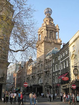
Covent Garden is a district in London, on the eastern fringes of the West End, between St Martin's Lane and Drury Lane. It is associated with the former fruit-and-vegetable market in the central square, now a popular shopping and tourist site, and with the Royal Opera House, itself known as "Covent Garden". The district is divided by the main thoroughfare of Long Acre, north of which is given over to independent shops centred on Neal's Yard and Seven Dials, while the south contains the central square with its street performers and most of the historical buildings, theatres and entertainment facilities, including the London Transport Museum and the Theatre Royal, Drury Lane.
Drury Lane is a street on the eastern boundary of the Covent Garden area of London, running between Aldwych and High Holborn. The northern part is in the borough of Camden and the southern part in the City of Westminster. Drury Lane is part of London's West End Theatreland.
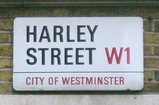
Harley Street is a street in Marylebone, Central London, named after Edward Harley, 2nd Earl of Oxford and Earl Mortimer. Since the 19th century it has housed a large number of private specialists in medicine and surgery.

The Metropolitan Borough of Westminster was a metropolitan borough in the County of London, England, from 1900 to 1965.
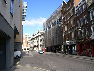
Bow Street is a thoroughfare in Covent Garden, Westminster, London. It connects Long Acre, Russell Street and Wellington Street, and is part of a route from St Giles to Waterloo Bridge.
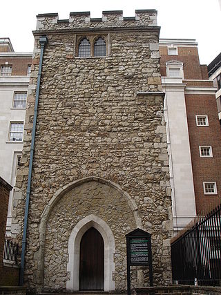
All Hallows Staining was a Church of England church located at the junction of Mark Lane and Dunster Court in the north-eastern corner of Langbourn ward in the City of London, England, close to Fenchurch Street railway station. All that remains of the church is the tower, built around AD 1320 as part of the second church on the site. Use of the grounds around the church is the subject of the Allhallows Staining Church Act 2010.
St Martin's Lane is a street in the City of Westminster, which runs from the church of St Martin-in-the-Fields, after which it is named, near Trafalgar Square northwards to Long Acre. At its northern end, it becomes Monmouth Street. St Martin's Lane and Monmouth Street together form the B404.

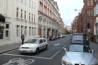
Long Acre is a street in the City of Westminster in central London. It runs from St Martin's Lane, at its western end, to Drury Lane in the east. The street was completed in the early 17th century and was once known for its coach-makers, and later for its car dealers.
Great Queen Street is a street in the West End of central London in England. It is a continuation of Long Acre from Drury Lane to Kingsway. It runs from 1 to 44 along the north side, east to west, and 45 to about 80 along the south side, west to east. The street straddles and connects the Covent Garden and Holborn districts and is in the London Borough of Camden. It is numbered B402.

York Way is a major road in the London Borough of Islington, running north for one mile from the junction of Pentonville Road and Euston Road, adjacent to King's Cross railway station towards Kentish Town and Holloway. At its northern end, the road becomes Brecknock Road. For its entire length York Way forms the boundary between the London Boroughs of Islington and Camden.
Events from the year 1775 in Great Britain.

St. Mary Staining was a parish church in Oat Lane, northeast of St. Paul's Cathedral, in the City of London. First recorded in the 12th century, it was destroyed in the Great Fire of London in 1666 and not rebuilt.

The National Sporting Club was a club founded in London in 1891, which did more to establish the sport of boxing in Great Britain than any other organisation.
Henrietta Street is a street in Covent Garden, London, that was once home to a number of artists and later became the location of many publishing firms.

The Lamb and Flag is a Grade II listed public house at Rose Street, Covent Garden, London, WC2.
Monmouth Street is a street in the Seven Dials district of Covent Garden, London, England.

Trump Street is a street in the City of London that was originally known as Trumpadere Street, probably after the trumpet or horn makers who once worked there or in the adjacent Trump Alley. It was built after the Great Fire of London (1666) but completely destroyed by bombing during the Second World War and has since been entirely rebuilt.
51°30′39″N0°07′22″W / 51.5107°N 0.1229°W
| | This London road or road transport-related article is a stub. You can help Wikipedia by expanding it. |