Chunya District is one of the seven districts of Mbeya Region, Tanzania. It is bordered to the north by Tabora Region, to the northeast by Singida Region, to the east by Mbarali District, to the south by Mbeya Rural District, and to the west by Songwe District.
Kyela is one of the seven districts of Mbeya Region, Tanzania. It is bordered to the north by Rungwe District, to the northeast by Iringa Region, to the southeast by Lake Nyasa, to the south by Malawi and to the west by Ileje District.
Itaka is an administrative ward in Mbozi District, Songwe Region, Tanzania.
Vwawa is an administrative ward in Mbozi District and the location of the headquarters of Songwe Region, Tanzania. According to the 2002 census, the ward had a total population of 37 844.
Galula is an administrative ward in Songwe District, Songwe Region, Tanzania. According to the 2002 census, the ward has a total population of 14,005.
Kapalala is an administrative ward in Songwe District, Songwe Region, Tanzania. According to the 2002 census, the ward has a total population of 5,924.
Mbuyuni is an administrative ward in Songwe District, Songwe Region, Tanzania. According to the 2002 census, the ward has a total population of 14,797.
Namkukwe is an administrative ward in Songwe District, Songwe Region, Tanzania. According to the 2002 census, the ward has a total population of 8,450.
Totowe is an administrative ward in Songwe District, Songwe Region, Tanzania. According to the 2002 census, the ward has a total population of 8,654.
Myovizi is an administrative ward in Mbozi District, Songwe Region, Tanzania. According to the 2002 census, the ward has a total population of 13,491.
Bupigu is an administrative ward in Ileje District, Songwe Region, Tanzania. According to the 2002 census, the ward has a total population of 6,190.
Ibaba is an administrative ward in Ileje District, Songwe Region, Tanzania. According to the 2002 census, the ward has a total population of 6,805.Ibaba composed with five village which are Lali, Sheyo,shikunga, Shuba anda Ibaba it self
Ikinga is an administrative ward in Ileje District, Songwe Region, Tanzania. According to the 2002 census, the ward has a total population of 7,114.
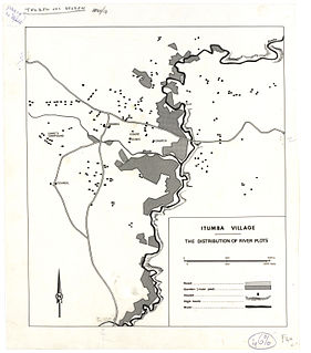
Itumba is an administrative ward in Ileje District, Songwe Region, Tanzania. According to the 2002 census, the ward has a total population of 12,668.
Kafule is an administrative ward in Ileje District, Songwe Region, Tanzania. According to the 2002 census, the ward has a total population of 6,892.
Lubanda is an administrative ward in Ileje District, Songwe Region, Tanzania. According to the 2002 census, the ward has a total population of 7,952.
Ngulugulu is an administrative ward in Ileje District, Songwe Region, Tanzania. According to the 2002 census, the ward has a total population of 5,346.
Sange is an administrative ward in Ileje District, Songwe Region, Tanzania. According to the 2002 census, the ward has a total population of 4,396.
Ruanda is an administrative ward in Mbozi District, Songwe Region, Tanzania. According to the 2002 census, the ward has a total population of 15,614.


