| Monzeler Hüttenkopf | |
|---|---|
The Monzeler Hüttenkopf seen from nearby Brauneberg. | |
| Highest point | |
| Elevation | 423.4 m above sea level (NN) (1,389 ft) [1] |
| Coordinates | 49°54′28″N6°56′24″E / 49.9079120443°N 6.93996089768°E Coordinates: 49°54′28″N6°56′24″E / 49.9079120443°N 6.93996089768°E |
| Geography | |
| Parent range | Moselle Hills |
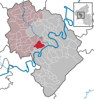
The Monzeler Hüttenkopf, also just Hüttenkopf, at 423.4 m above sea level (NN) [1] , is the second highest point of the Moselle Hills. It lies within the municipality of Osann-Monzel in the German county of Bernkastel-Wittlich.

Normalnull or Normal-Null is an outdated official vertical datum used in Germany. Elevations using this reference system were to be marked "Meter über Normal-Null". Normalnull has been replaced by Normalhöhennull.

The Moselle Hills form a ridge, up to 434.1 m above sea level (NHN), on the left bank of the River Moselle between Reil and Schweich in the Rhineland-Palatinate counties of Bernkastel-Wittlich and Trier-Saarburg. There are vineyards on the southern slopes of the wooded hills. They lie on the southern edge of the Eifel region.

Osann-Monzel is an Ortsgemeinde – a municipality belonging to a Verbandsgemeinde, a kind of collective municipality – and a winegrowing centre in the Bernkastel-Wittlich district in Rhineland-Palatinate, Germany.

