Queens County is a county in the province of Prince Edward Island, Canada. It is the largest county in the province by population with 82,017 (2016), land area, and highest average income. Charlottetown is the county seat of Queens County, and is the largest city and the capital of Prince Edward Island.
Bonshaw is a municipality that holds community status in Prince Edward Island, Canada. It is located near the province's south shore on the Northumberland Strait.

Wood Islands Provincial Parks is a provincial park in Prince Edward Island, Canada, situated immediately south of Wood Islands and 55 km (34 mi) from Charlottetown, the provincial capital. The park has a surface of 0.1 km2 (0.039 sq mi).

Prince County is located in western Prince Edward Island, Canada. The county's defining geographic feature is Malpeque Bay, a sub-basin of the Gulf of St. Lawrence, which creates the narrowest portion of Prince Edward Island's landmass, an isthmus upon which the city of Summerside is located.
Murray Harbour is a municipality that holds rural municipality status in Prince Edward Island, Canada. It is located in southeastern Kings County.
Mount Stewart is a municipality that holds community status in Prince Edward Island, Canada. It is located in the northeastern part of Queens County.
Lennox Island is a Mi'kmaq First Nations band government in the Canadian province, Prince Edward Island.
Scotchfort is an unincorporated Canadian rural community in northeastern Queens County, Prince Edward Island, southwest of the village of Mount Stewart.
Wellington is a municipality that holds community status in Prince Edward Island, Canada. It is located in Prince County, and extends as Wellington Centre onto Route 2 from Richmond through to St. Nicholas.
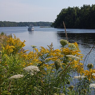
The Three Rivers are the three tidal estuaries in eastern Prince Edward Island, Canada. The water bodies are the Brudenell, Cardigan and Montague rivers, which in 2004 were included on the list of outstanding Canadian Heritage Rivers. The rivers are navigable by canoe for 52 kilometres (32 mi).
Lower Montague was a municipality that held community status in Prince Edward Island, Canada. It was located to the east of Montague.
Lennox Island 1 is a Mi'kmaq reserve located in Prince County, Prince Edward Island. In the 2016 Census, the reserve has 323 residents.
Lennox Island 5 is a Mi'kmaq reserve located in Prince County, Prince Edward Island. There are currently no residents.
Lennox Island 6 is a Mi'kmaq reserve located in Prince County, Prince Edward Island. There are currently no residents.
Rocky Point 3 is a Mi'kmaq reserve located in Queens County, Prince Edward Island. In the 2016 Census, the reserve has 51 residents.
Scotchfort 4 is a Mi'kmaq reserve located in Queens County, Prince Edward Island. In the 2016 Census, the reserve has 200 residents.
Three Rivers is a town within Kings County in Prince Edward Island that was incorporated on September 28, 2018 through an amalgamation of seven municipalities and adjacent unincorporated areas. The municipalities that were amalgamated included two towns – Georgetown and Montague – and five rural municipalities – Brudenell, Cardigan, Lorne Valley, Lower Montague, and Valleyfield.