| Morro Moreno National Park | |
|---|---|
 | |
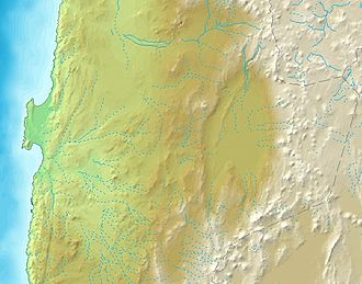 Location in Antofagasta Region of Chile | |
| Location | Antofagasta Region, Chile |
| Nearest city | Antofagasta |
| Coordinates | 23°27′S70°33′W / 23.450°S 70.550°W |
| Area | 73.14 km2 (28.24 sq mi) |
| Designation | National Park |
| Designated | 2010 |
| Governing body | Corporación Nacional Forestal (CONAF) |
Morro Moreno National Park is a national park in northern Chile. It is located on a coastal headland in Antofagasta Region, northwest of the city of Antofagasta.