Nama, or NAMA, is the acronym for Narodni magazin 'national store'. This was a chain of department stores in the former SFRY (Yugoslavia) and the first Slovenian department store. Nama owns three stores in Slovenia today:

The Ljubljana Basin is a basin in the upper river basin of Sava. It is the most populated area in Slovenia and it is metropolitan area of Ljubljana. Its main rivers are the Sava, the Kamnik Bistrica and the Ljubljanica.
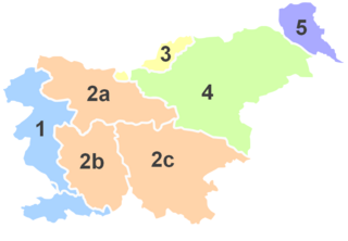
Upper Carniola is a traditional region of Slovenia, the northern mountainous part of the larger Carniola region. The centre of the region is Kranj, while other urban centers include Jesenice, Tržič, Škofja Loka, Kamnik, and Domžale. It has around 300,000 inhabitants or 14% of the population of Slovenia.
Slovene months have standard modern names derived from Latin names, as in most European languages. There are also archaic Slovene month names, which exist in both a standardized set as well as many variations.

Briše pri Polhovem Gradcu is a dispersed settlement just south of Polhov Gradec in the Municipality of Dobrova–Polhov Gradec in the Upper Carniola region of Slovenia. It lies in the valley of Little Creek on the road from Polhov Gradec to Lučine and includes the hamlets of Škofijski Hrib, Zavrh, and Štebavnik. It is surrounded by Praproče Hill and Mount Polhov Gradec to the north, Little Peak to the west, Big Hill to the south, Kladnik Hill to the southeast, and Zvonščica Hill to the east.

Srednja Vas pri Polhovem Gradcu is a small settlement just east of Polhov Gradec in the Municipality of Dobrova–Polhov Gradec in the Upper Carniola region of Slovenia.

Podreber is a small settlement east of the town of Polhov Gradec in the Municipality of Dobrova–Polhov Gradec in the Upper Carniola region of Slovenia. It lies on the road from Ljubljana to Polhov Gradec below Kucelj Hill.

Praproče is a small village west of Polhov Gradec in the Municipality of Dobrova–Polhov Gradec in the Upper Carniola region of Slovenia. It includes part of the hamlet of Zalog northwest of the main settlement, in the valley of Big Božna Creek.

Pristava pri Polhovem Gradcu is a settlement next to Polhov Gradec in the Municipality of Dobrova–Polhov Gradec in the Upper Carniola region of Slovenia.

Rovt is a dispersed settlement in the hills west of Polhov Gradec in the Municipality of Dobrova–Polhov Gradec in the Upper Carniola region of Slovenia.

Selo nad Polhovim Gradcem is a dispersed settlement in the hills above Polhov Gradec in the Municipality of Dobrova–Polhov Gradec in the Upper Carniola region of Slovenia. It lies between the Petač Gorge with Big Božna Creek to the south and the Hrastnica Valley to the north. It is on a formerly important freight route between Škofja Loka and Polhov Gradec.

Setnica is a settlement that is divided between the municipalities of Dobrova–Polhov Gradec and Medvode in the Upper Carniola region of Slovenia. Setnica is known as Snica in the local dialect. In the 19th century it was known as Setnitza in German. The settlement includes the hamlets of Ravnek to the south, Mežnar below Saint Ursula's Church, and Kobilca in the Maček Gorge.

Smolnik is a dispersed settlement in the hills northwest of Polhov Gradec in the Municipality of Dobrova–Polhov Gradec in the Upper Carniola region of Slovenia.

Srednji Vrh is a dispersed settlement in the hills west of Polhov Gradec in the Municipality of Dobrova–Polhov Gradec in the Upper Carniola region of Slovenia.
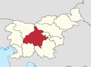
The Central Slovenia Statistical Region is a statistical region in central Slovenia.
Polhov Gradec Castle is a castle ruin above the settlement of Polhov Gradec, in the Municipality of Dobrova–Polhov Gradec in central Slovenia. It is located on Calvary Hill immediately northwest of the town center.

Big Božna Creek or simply the Božna, also known as Božja Creek, or Big Creek is a stream in northwestern Slovenia. It is the left source tributary of the Gradaščica, the right one being Little Creek. It was recorded under the German names Salog bach or Sallog Bach in the 18th century.
Settlements, within municipalities in Slovenia, and sometimes called Log include:

The Polhov Gradec Hills or Polhov Gradec Dolomites are a pre-Alpine hilly region of northwestern Slovenia. To the north they border the Škofja Loka Hills, and to the south they border the Ljubljana Basin and the Ljubljana Marshes. The central settlement is Polhov Gradec. The largest watercourse is the Gradaščica River. In 1971, a proposal was put forward to protect the region as a nature park, but it was never formally adopted.


