Tougué is a prefecture located in the Labé Region of Guinea. The capital is Tougué. The prefecture covers an area of 6,400 km2. and has an estimated population of 132,000.
Upper Lillooet Provincial Park is a provincial park in British Columbia, Canada. The 19,996-hectare park was established on July 28, 1997, under the National Parks Act.
La Herrera is a municipality in Albacete, Castile-La Mancha, Spain. It has a population of 390.

Fisterra is a comarca in the Galician Province of A Coruña. The overall population of this local region is 21,483 (2019).
Ardhaveedu is a village in Prakasam district of the Indian state of Andhra Pradesh. It is the mandal headquarters of Ardhaveedu mandal in Markapur revenue division.

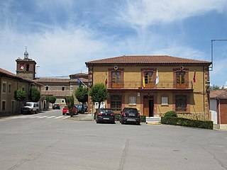
Vegas del Condado, Vegas del Condáu, in Leonese language, is a municipality located in the province of León, Castile and León, Spain. According to the 2004 census (INE), the municipality has a population of 1,361 inhabitants.

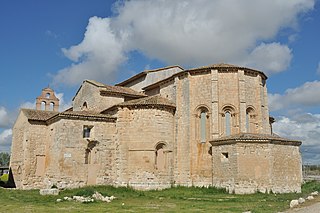
Corcos is a municipality located in the province of Valladolid, Castile and León, Spain. According to the 2004 census (INE), the municipality has a population of 258 inhabitants.

Aïn Tallout District is a district of Tlemcen Province in north-western Algeria.

Oury is a department or commune of Balé Province in southern Burkina Faso. Its capital lies at the town of Oury. According to the 1996 census the department has a total population of 24,914.
Acul-du-Nord is an arrondissement of the Nord department of Haiti. As of 2015, the population was 129,155 inhabitants. Postal codes in the Acul-du-Nord Arrondissement start with the number 12.
Gonaïves is an arrondissement in the Artibonite department of Haiti. It has 263,858 inhabitants. Postal codes in the Gonaïves Arrondissement start with the number 41.

Valdeolmos-Alalpardo is a municipality of the Community of Madrid, Spain. It comprises three separate blocks: Valdeolmos, Alalpardo and Miraval.
Mack Town is a town in West Grand Bahama, in The Bahamas.
Hunter is a town in West Grand Bahama in The Bahamas. It is southwest of the islands' largest city, Freeport City.

Tepetzintla (municipality) is a town and municipality in the Mexican state of Puebla in south-eastern Mexico.

Navan Racecourse is a horse racing venue at Proudstown near Navan, County Meath, Ireland, approximately 48 kilometres from Dublin. The course stages Flat racing but is best known for National Hunt racing. Navan Racecourse is owned by Horse Racing Ireland.
Santa Rosa is a corregimiento in Bugaba District, Chiriquí Province, Panama. It has a land area of 48 square kilometres (19 sq mi) and had a population of 1,510 as of 2010, giving it a population density of 31.4 inhabitants per square kilometre (81/sq mi). Its population as of 1990 was 1,337; its population as of 2000 was 1,407.
Llano Bonito is a corregimiento in Chitré District, Herrera Province, Panama with a population of 9,798 as of 2010. It was created by Law 58 of July 29, 1998, owing to the Declaration of Unconstitutionality of Law 1 of 1982. Its population as of 2000 was 8,088.
Llano de Catival o Mariato is a corregimiento in Mariato District, Veraguas Province, Panama with a population of 2,376 as of 2010. It is the seat of Mariato District. Its population as of 1990 was 2,052; its population as of 2000 was 2,269.

Oujda-Angad Prefecture is an urban prefecture located within the Oriental Region, of northeast Morocco. The north of the province is a part from the historical region of Béni Iznassen tribes.


