Related Research Articles

Ubaí is a municipality in the north of the Brazilian state of Minas Gerais. As of 2007 the population was 11,834 in a total area of 821 km². It became a municipality in 1962.
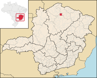
Varzelândia is a municipality in the north of the Brazilian state of Minas Gerais. As of 2007 the population was 19,137 in a total area of 804 km². It became a municipality in 1962.

Betim is a city in Minas Gerais, Brazil. It is located at around 19°58′4″S44°11′52″W. The city belongs to the mesoregion Metropolitan of Belo Horizonte (BH) and to the microregion of Belo Horizonte. It is the fifth largest city in Minas Gerais and one of the 50 largest cities in Brazil.

Baependi is a Brazilian municipality located in the state of Minas Gerais.

Bandeira is a Brazilian municipality located in the state of Minas Gerais. Its population as of 2007 was estimated to be 5,337 people living in a total area of 484 km². The city belongs to the mesoregion of Jequitinhonha and to the microregion of Almenara.

Cônego Marinho is a municipality in the north of the state of Minas Gerais in Brazil. As of 2007 the population was 6,279 in an area of 1,618 km².

Itacarambi is a municipality in the north of the state of Minas Gerais in Brazil. As of 2007 the population was 17,626 in an area of 1,252 km².

Pedras de Maria da Cruz is a municipality in the north of the state of Minas Gerais in Brazil. As of 2007 the population was 10,976 in an area of 1,520 km². The elevation of the municipal seat is 476 meters. It became a municipality in 1993. The postal code (CEP) is 39492-000 and it belonged to the statistical microregion of Januária

São Francisco is a municipality in the north of the state of Minas Gerais in Brazil. As of 2007 the population was 52,985 in an area of 3,300 km². The elevation of the municipal seat is 695 meters. It became a municipality in 1831. The postal code (CEP) is 39300-000 and it belongs to the statistical microregion of Januária
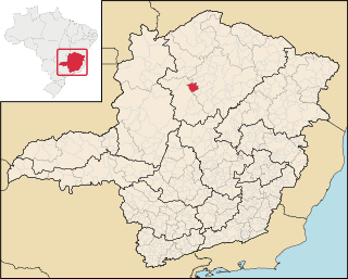
Ibiaí is a Brazilian municipality located in the north of the state of Minas Gerais. In 2007 the population was 7,571 in a total area of 870 km². It became a municipality in 1963.

Jequitaí is a Brazilian municipality located in the north of the state of Minas Gerais. In 2007 the population was 8,029 in a total area of 1,268 km². It became a municipality in 1948.
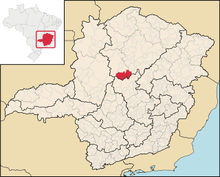
Lassance is a Brazilian municipality located in the north of the state of Minas Gerais. In 2007 the population was 6,458 in a total area of 3,213 km². It became a municipality in 1953.

Lagoa dos Patos is a Brazilian municipality located in the north of the state of Minas Gerais. In 2007 the population was 4,448 in a total area of 599 km². It became a municipality in 1962.
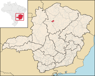
Campo Azul is a Brazilian municipality located in the north of the state of Minas Gerais. In 2007 the population was 3,828 in a total area of 506 km². It became a municipality in 1995.

Ibiracatu is a Brazilian municipality located in the north of the state of Minas Gerais. In 2007 the population was 5,898 in a total area of 359 km². It became a municipality in 1995.
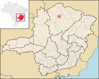
Lontra is a municipality in the north of the Brazilian state of Minas Gerais. As of 2007 the population was 7,979 in a total area of 257 km². It became a municipality in 1993.
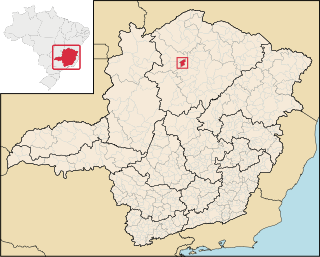
Luislândia is a municipality in the north of the Brazilian state of Minas Gerais. As of 2007 the population was 6,432 in a total area of 425 square kilometres (164 sq mi). It became a municipality in 1997.

Francisco Dumont is a Brazilian municipality located in the north of the state of Minas Gerais. Its population as of 2007 was 4,759 people living in a total area of 1,553 km². The city belongs to the mesoregion of North of Minas and to the microregion of Bocaiúva. It became a municipality in 1962.

The Peruaçu River is a river of Minas Gerais state in southeastern Brazil.

Piracema is a municipality in the state of Minas Gerais in the Southeast region of Brazil.
References
- Map from Ministry of Transport
- Rand McNally, The New International Atlas, 1993.
Coordinates: 15°42′01″S44°35′02″W / 15.7002°S 44.5840°W
| This article related to a river in Minas Gerais is a stub. You can help Wikipedia by expanding it. |