
The Arctic Archipelago, also known as the Canadian Arctic Archipelago, is a group of islands north of the Canadian mainland.

Parchovany is a village and municipality in the Trebišov District in the Košice Region of south-eastern Slovakia.

Sonkád is a village in Szabolcs-Szatmár-Bereg county, in the Northern Great Plain region of eastern Hungary.
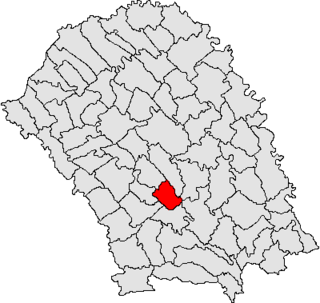
Stăuceni is a commune in Botoșani County, Romania. It is composed of four villages: Siliștea, Stăuceni, Tocileni and Victoria.
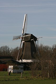
Wachtum is a village located in the municipality of Coevorden, within the Dutch province of Drenthe. Wachtum is collectively cultivated by roughly 280 villagers.
Grevenberg is a village in the Netherlands and it is part of the Coevorden municipality in Drenthe. Grevenberg has an altitude of 11 meters (39 feet). North of Grevenberg lies Oosterhesselen and south lies Wachtum.

Ulloa is a town and municipality located in the Department of Valle del Cauca, Colombia.
Tresjuncos is a municipality located in the province of Cuenca, Castile-La Mancha, Spain. According to the 2004 census (INE), the municipality has a population of 445 inhabitants.

Ślubowo is a village in the administrative district of Gmina Sońsk, within Ciechanów County, Masovian Voivodeship, in east-central Poland. It lies approximately 8 kilometres (5 mi) south of Sońsk, 19 km (12 mi) south-east of Ciechanów, and 59 km (37 mi) north of Warsaw.
Bonisław is a village in the administrative district of Gmina Gozdowo, within Sierpc County, Masovian Voivodeship, in east-central Poland. It lies approximately 5 kilometres (3 mi) east of Gozdowo, 20 km (12 mi) south of Sierpc, and 102 km (63 mi) north-west of Warsaw.
Yoğunbulaq is a village in the municipality of Çobansığnaq in the Tovuz Rayon of Azerbaijan.
Tarchalin is a village in the administrative district of Gmina Bojanowo, within Rawicz County, Greater Poland Voivodeship, in west-central Poland. It lies approximately 2 kilometres (1 mi) north of Bojanowo, 15 km (9 mi) north-west of Rawicz, and 77 km (48 mi) south of the regional capital Poznań.
Prejłowo is a village in the administrative district of Gmina Purda, within Olsztyn County, Warmian-Masurian Voivodeship, in northern Poland. It lies approximately 4 kilometres (2 mi) north of Purda and 15 km (9 mi) east of the regional capital Olsztyn.
Acteopan Municipality is a municipality in Puebla in south-eastern Mexico.
Grozden is a village in Sungurlare Municipality, in Burgas Province, in southeastern Bulgaria.
Taadikvere is a village in Järva Parish, Järva County in central Estonia.
Ledesma de la Cogolla is a village in the province and autonomous community of La Rioja, Spain. The municipality covers an area of 12.13 square kilometres (4.68 sq mi) and as of 2011 had a population of 22 people.
German submarine U-962 was a Type VIIC U-boat built for Nazi Germany's Kriegsmarine during World War II. Her keel was laid at the yards of Blohm & Voss in Hamburg on 7 April 1942. Launched on 17 December 1942, she was formally commissioned on 11 February 1943 and given to Oblt.z.S. Ernst Liesberg, who commanded the submarine on both of her active war patrols.
German submarine U-717 was a Type VIIC U-boat of Nazi Germany's Kriegsmarine during World War II. The submarine was laid down on 24 April 1942 at the H. C. Stülcken Sohn yard at Hamburg, launched on 20 February 1943, and commissioned on 19 May 1943 under the command of Oberleutnant zur See Siegfried von Rothkirch und Panthen. Attached to 5th U-boat Flotilla based at Kiel, U-717 completed her training period on 31 July 1944 and was assigned to front-line service.


