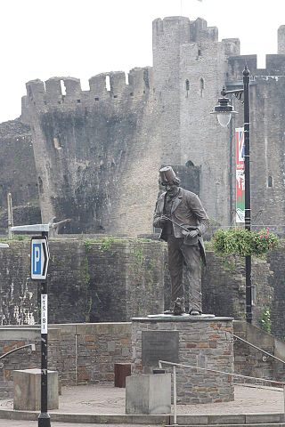
Caerphilly is a town and community in Wales. It is situated at the southern end of the Rhymney Valley.

Mid Glamorgan is a preserved county of Wales. From 1974 until 1996 it was also an administrative county with a county council.

Tonypandy is a town, community and electoral ward located in the county borough of Rhondda Cynon Taf, within the historic county boundaries of Glamorgan, Wales, lying in the Rhondda Fawr Valley. A former industrial coal mining town, the town was the scene of the 1910 Tonypandy riots.

Rhydyfelin is a large village and part of the community of Pontypridd Town, about two miles to its south east of Pontypridd, in the county borough of Rhondda Cynon Taf. It is on the eastern bank of the River Taff close to the A470, and historically was in the parish of Eglwysilan.

Merthyr Tydfil and Rhymney is a constituency represented in the House of Commons of the UK Parliament since 2015 by Gerald Jones of the Welsh Labour Party. It was established for the 1983 general election.
Gilfach is the small district that lies between Bargoed and Pengam, situated in the Caerphilly county borough, seven miles north of Caerphilly, within the historic boundaries of Glamorgan, Wales. The Bargoed ward had a population of 2,062 at the 2011 census.
Bedlinog is a small village located in The Taff Bargoed valley, 10 km (6 mi) north of Pontypridd, 10 km (6 mi) north west of Caerphilly and 10 km (6 mi) south east of Merthyr Tydfil in south-east Wales. It is currently in the south of Merthyr Tydfil County Borough, but until 1974 was part of Gelligaer Urban District Council in the county of Glamorgan.

Vaynor is a village and community in Merthyr Tydfil County Borough in Wales, United Kingdom. The population of the community at the 2011 census was 3,551.
Coedffranc is a village in the county borough of Neath Port Talbot, Wales.

Rhymney Valley was one of six local government districts in Mid Glamorgan from 1974 to 1996.

Gelligaer is a community in the County Borough of Caerphilly, Wales, in the Rhymney River valley. As well as the village of Gelligaer, the community also includes the small towns of Hengoed and Ystrad Mynach. The population of the community at the 2011 census was 18,408.

Llanbradach is a village within the historic boundaries of Glamorgan, South Wales less than three miles north of the town of Caerphilly. It is part of the community of Llanbradach and Pwll-y-Pant.
Cornelly is a community and electoral ward in Bridgend County Borough, South Wales. As of 2011 the population of the Cornelly ward was 7,059.
Cyfarthfa is a community and electoral ward in the west of the town of Merthyr Tydfil in Merthyr Tydfil County Borough, Wales.

Newcastle is an area and electoral ward of the town of Bridgend, Wales. The area includes the medieval Newcastle Castle. The ward elects councillors to Bridgend Town Council and Bridgend County Borough Council.
Tyn-y-nant is an electoral ward covering the Tynant area of the village of Beddau, within the town and community of Llantrisant, Rhondda Cynon Taf, South Wales. It includes the area Gwaun Meisgin.
Town is the name of a local government community and electoral ward in the town of Merthyr Tydfil, in Merthyr Tydfil County Borough, Wales.
Maesteg East is the name of an electoral ward in Bridgend County Borough, Wales. It covers part of the town of Maesteg. The ward elects two councillors to Bridgend County Borough Council.
Caerau is the name of an electoral ward in Bridgend County Borough, Wales. It covers part of the town of Maesteg. The ward elects two councillors to Bridgend County Borough Council.
Litchard is a village and residential district north of Bridgend, Wales. It is also an electoral ward in the Coity Higher community, as well as a former ward to Bridgend County Borough Council.
