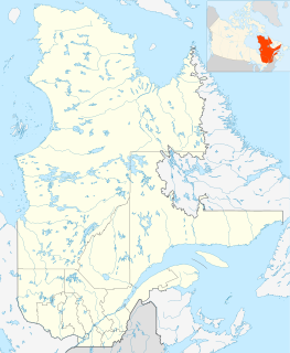
Port-Menier Airport is located 2.7 nautical miles east of Port-Menier, Quebec, Canada.

Port Elgin Airport,, is located 1.3 nautical miles southwest of Port Elgin, Ontario, Canada.

Bella Bella Airport is located 1 nautical mile northwest of Bella Bella on Campbell Island. British Columbia, Canada. The airport is connected by paved road to the village of Bella Bella, and forms a hub of sorts for the Central Coast, with flights linking to Klemtu, Port Hardy, and Vancouver with additional flights during the summer servicing tourist and commercial operations in the area.

Port McNeill Airport is located 2 nautical miles southeast of Port McNeill, British Columbia, Canada.

The Township of Ashfield–Colborne–Wawanosh is a municipality in Huron County, Ontario, Canada. It was formed as an amalgamation of the former Ashfield, Colborne and West Wawanosh townships in 2001, in an Ontario-wide local government restructuring imposed by the government of that time. The three former townships now comprise the wards of the amalgamated municipality. Mayor of Dungannon Robert Brindley Jr.

Del Bonita is a hamlet in southern Alberta, Canada within Cardston County. It is located approximately 49 km (30 mi) south of Magrath at the junction of Highway 62 and Highway 501. Due to its location near the Canada–United States border, it serves as a port of entry into the U.S. state of Montana at the nearby Del Bonita Border Crossing which is located 3 km (1.9 mi) to the south. Del Bonita is a name derived from Spanish meaning "of the pretty".

Port Perry/Utica Field Aerodrome is an airport located 4.1 nautical miles west southwest of Port Perry, Ontario, Canada.


