Related Research Articles

Stillwater is an unincorporated community in eastern Rush Township, Tuscarawas County, Ohio, United States. It has a post office with the ZIP code 44679. It lies at the intersection of State Routes 258 and 800.
Lock Seventeen is an unincorporated community in Tuscarawas County, in the U.S. state of Ohio.
Gilmore is an unincorporated community in Washington Township, Tuscarawas County, Ohio, south of the village of Gnadenhutten. Gilmore sits on Tuscarawas County Road 10 and is intersected by Tuscarawas County Road 14 at Gilmore's square.

New Cumberland is an unincorporated community in Warren Township, Tuscarawas County, Ohio, United States. The community is served by the Mineral City, Ohio post office, ZIP code 44656. It is located on Conotton Creek, State Route 212 and the Wheeling and Lake Erie Railway.
Winfield is an unincorporated community in Franklin Township, Tuscarawas County, Ohio, United States. It is on State Route 516 between Dover and Dundee.
Barrs Mills is an unincorporated community in Tuscarawas County, in the U.S. state of Ohio.
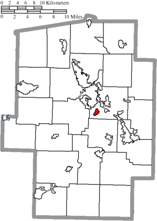
Blackband is an unincorporated community in Tuscarawas County, in the U.S. state of Ohio.
Eastport is an unincorporated community in Tuscarawas County, in the U.S. state of Ohio.
Glasgow is an unincorporated community in Tuscarawas County, in the U.S. state of Ohio.
Goshen is an unincorporated community in Tuscarawas County, in the U.S. state of Ohio.
Hartwood is an unincorporated community in Tuscarawas County, in the U.S. state of Ohio.
Mount Tabor is an unincorporated community in Tuscarawas County, in the U.S. state of Ohio.
Oldtown Creek is a stream located entirely within Tuscarawas County, Ohio.

Ragersville is an unincorporated community in Tuscarawas County, in the U.S. state of Ohio.
Rockford is an unincorporated community in Tuscarawas County, in the U.S. state of Ohio.
West Chester is an unincorporated community in Tuscarawas County, in the U.S. state of Ohio.
Wolf is an unincorporated community in Tuscarawas County, in the U.S. state of Ohio.
Yorktown is an unincorporated community in Tuscarawas County, in the U.S. state of Ohio.
Dunlap Creek is a stream located entirely within Tuscarawas County, Ohio. It is a tributary of the Tuscarawas River.
Buckhorn Creek is a stream in the U.S. state of Ohio.
References
- ↑ U.S. Geological Survey Geographic Names Information System: Postboy Creek
- ↑ Overman, William Daniel (1958). Ohio Town Names. Akron, OH: Atlantic Press. p. 114.
- ↑ The History of Tuscarawas County, Ohio: Containing a History of the County; Its Townships, Towns, Churches, Schools, Etc. Warner, Beers & Company. 1884. p. 607.
- ↑ The History of Tuscarawas County, Ohio: Containing a History of the County; Its Townships, Towns, Churches, Schools, Etc. Warner, Beers & Company. 1884. p. 374.
40°13′28″N81°34′58″W / 40.22444°N 81.58278°W
| | This article related to a river in Ohio is a stub. You can help Wikipedia by expanding it. |