
Puerto Rico Highway 3(PR-3) at nearly 100 miles long, is the second longest highway on Puerto Rico. It connects the San Juan neighborhood of Río Piedras to downtown Salinas indirectly around the eastern coast of the island. Highway 3 ranges from a three lane urban avenue in San Juan to a one lane rural road past Fajardo. While other roads connect San Juan, it runs the coastline of Puerto Rico east of San Juan, beginning in Río Piedras near Santurce and goes to Fajardo where it goes south paralleling the coastline to Humacao and Maunabo. It goes up to a mountain-scenic route and goes west to Salinas, where it meets PR-1.

Puerto Rico Highway 344 (PR-344) is a rural road in Hormigueros, Puerto Rico, beginning from near the municipality's small downtown and ending at PR-348 near the border with San Germán in barrio Rosario. It has narrow lanes, and after about five kilometers becomes one of the most dangerous highways in Puerto Rico, as it goes near a precipice with little or no safety barriers. It serves as a route to Mayagüez via PR-348 which ends in Puerto Rico Alt Route 2.
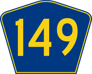
Puerto Rico Highway 149 (PR-149) is a secondary highway in Puerto Rico that connects the towns of Manatí in the north coast of Puerto Rico, from PR-22 to Juana Díaz in the south coast, ending at PR-1. It goes through Ciales, and is a divided highway and a wide rural highway between that municipality and Manatí, as it is also from Juana Díaz to Villalba. From Ciales to Villalba, it is an extremely dangerous mountain road, with very high areas and poor safety barriers. From Ciales to Villalba it passes through the Salto de Doña Juana, a spot with a small waterfall and a small creek where people can jump and swim. It is one of the longest highways going south to north, perhaps the longest excluding PR-1 and PR-52.
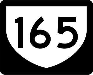
Puerto Rico Highway 165 (PR-165) is the road that goes from Naranjito to Guaynabo. The highway passes by Toa Alta, Toa Baja, Dorado, Levittown, Cataño and Guaynabo.

Puerto Rico Highway 47 (PR-47), also known as Calle De Diego, is an urban road in Río Piedras, Puerto Rico.

Puerto Rico Highway 166 (PR-166) is a by-pass in San Germán, Puerto Rico. The highway is an avenue which was built for drivers passing through PR-102 could bypass the downtown area of San Germán.

Puerto Rico Highway 130 (PR-130) is the main north–south route within the municipality of Hatillo, Puerto Rico.
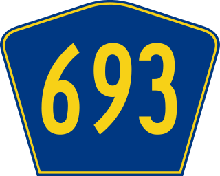
Puerto Rico Highway 693 (PR-693) is a road located between the municipalities of Dorado, Puerto Rico and Vega Alta, passing through downtown Dorado. It begins at its intersection with PR-2 and PR-165 in Río Lajas and ends at PR-690 in Sabana. It is a short divided highway in southern Dorado, which serves as an alternate route for PR-165 west of Río de la Plata.

Puerto Rico Highway 760 (PR-760) is a rural road located in Maunabo, Puerto Rico. It begins at its intersection with PR-3 near downtown Maunabo and ends at Punta Tuna Light.

Puerto Rico Highway 128 (PR-128) is a road that travels from Yauco, Puerto Rico to Lares. This highway extends from PR-2 in Yauco and ends at PR-111 near downtown Lares.

Puerto Rico Highway 176 (PR-176) is a main road in Cupey. It begins at its intersection with PR-175 near Carraízo Lake in Trujillo Alto and ends at PR-1 near downtown Río Piedras.
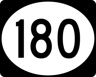
Puerto Rico Highway 180 (PR-180) is a bypass located near downtown Salinas, Puerto Rico. This road extends from PR-1, near PR-52, to PR-701 and is known as Avenida Pedro Albizu Campos.

Puerto Rico Highway 178 (PR-178) is the main access to downtown Arroyo, Puerto Rico. This road extends from PR-3 in Guásimas to returning again to PR-3 at its junction with PR-753 between downtown, Pitahaya and Palmas barrios.

Puerto Rico Highway 192 (PR-192) is the main access to downtown Naguabo, Puerto Rico. This road extends from PR-31 between Río and Maizales barrios to PR-3 in Húcares.

Puerto Rico Highway 144 (PR-144) is a rural road that travels from Jayuya, Puerto Rico to Ciales. This road extends from PR-140 in Collores and ends at PR-149 in Toro Negro.

Puerto Rico Highway 170 (PR-170) is a road located in Cayey, Puerto Rico. This highway begins at its intersection with PR-14 and PR-731 in downtown Cayey and ends at its junction with PR-1 and PR-206 in Matón Arriba.

Puerto Rico Highway 141 (PR-141) is a road that travels from Jayuya, Puerto Rico to northeastern Utuado. This highway begins at PR-144 in downtown Jayuya and ends at PR-140 in Mameyes Abajo.

Puerto Rico Highway 195 (PR-195) is a road located in Fajardo, Puerto Rico, passing through its downtown. This highway begins at PR-3 west of downtown Fajardo and ends at the Port of Fajardo.
Puerto Rico Highway 194 (PR-194) is a road located in Fajardo, Puerto Rico, passing through its downtown. This highway begins at its intersection with PR-3 and PR-53 in Quebrada Vueltas and ends at its junction with PR-3 and PR-940 in Quebrada Fajardo.
Puerto Rico Highway 187 (PR-187) is a road that travels from Río Grande, Puerto Rico to Carolina, passing through Loíza. This highway begins at its intersection with PR-3 and PR-66 in Guzmán Abajo and ends at PR-26 in Isla Verde.
