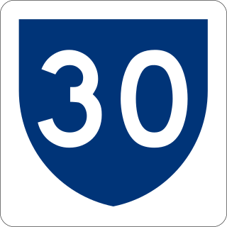
Puerto Rico Highway 30 (PR-30), known as Expreso Cruz Ortiz Stella, is a main freeway in Puerto Rico which connects the city of Caguas to the town of Humacao.
Puerto Rico Highway 66 (PR-66) is a main tollway which parallels Puerto Rico Highway 3 going from the city of Carolina, Puerto Rico via a 3 loops cloverleaf interchange with PR-26 and PR-3, a major exit in the form of a Trumpet interchange in Canóvanas, Puerto Rico and ending in the municipality of Río Grande, Puerto Rico with an intersection of PR-3. It is only 19.5 kilometres (12.1 mi) long and has very few exits, which work mainly to minimize traffic in the congested Carolina area of PR-3.
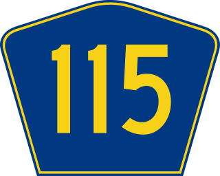
Puerto Rico Highway 115 (PR-115) is a highway which follows the west coastline of Puerto Rico from south Añasco at PR-2 to near downtown Aguadilla, where it becomes Puerto Rico Highway 111 after intersecting PR-2 again, and is the primary route to the town of Rincón, Puerto Rico, a tourist and frequent destination of surfers.

Puerto Rico Highway 111 (PR-111) is a highway connecting Aguadilla, Puerto Rico at Puerto Rico Highway 2 and Puerto Rico Highway 115 to Utuado, Puerto Rico at Puerto Rico Highway 140.

Puerto Rico Highway 116 (PR-116) is a main highway in the southwest part of Puerto Rico, beginning in Guánica, Puerto Rico at Puerto Rico Highway 2 to Lajas, Puerto Rico at Puerto Rico Highway 101.

Puerto Rico Highway 181 (PR-181), also known as Expreso Trujillo Alto, is a road that connects the towns of San Juan, Puerto Rico in the north/northeast coast of Puerto Rico with Patillas in the southeast, passing through the municipalities of San Juan at Jesus de Piñero Avenue (PR-17) as it approaches the Teodoro Moscoso Bridge and the Luis Muñoz Marín International Airport, Trujillo Alto, Gurabo, San Lorenzo, Yabucoa and Patillas in the center of the town district near PR-3. Along with PR-10, PR-149, PR-1 and PR-52, it is one of the longest highways crossing the island from north to south through the central mountainous region. In the north part of Trujillo Alto it is a four-lane highway, turning completely rural on the way to Patillas with the exception of a small tract in Gurabo where it intersects PR-30.
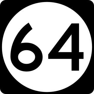
Puerto Rico Highway 64 (PR-64) is a short divided highway in Mayagüez, Puerto Rico which serves as an alternate route to Puerto Rico Highway 2, beginning at Puerto Rico Highway 102 toward barrio Sabanetas. It meets PR-2 again near Añasco. It is mostly divided. It is also a route to the Mayagüez Port, where a ferry can be taken to Santo Domingo, Dominican Republic.

Puerto Rico Highway 14 (PR-14) is a main highway connecting Ponce to Cayey, Puerto Rico. The road runs the same course as the historic Carretera Central. The Ponce-to-Coamo section of PR-14 was built under the direction of Spanish engineer Raimundo Camprubí Escudero.

Puerto Rico Highway 301 (PR-301) is a main highway in Cabo Rojo, Puerto Rico. It begins in PR-101, close to PR-100, and goes south all the way to Los Morrillos Light, where it ends. It is the main access to the lighthouse, the Cabo Rojo cliffs, and Playa Sucia.

Puerto Rico Highway 908 (PR-908) is a main highway in the city of Humacao, Puerto Rico. It begins in PR-3 as a two-lane per direction road, which ends being that way approaching University of Puerto Rico at Humacao. It intersects PR-30 just before approaching the institution. After that it becomes a rural one-lane per direction road. It goes back to PR-3, where it ends, near Yabucoa, Puerto Rico.

Puerto Rico Highway 21 (PR-21) is the main highway to get to the Medical Center and Veterans Hospital in San Juan, Puerto Rico. It begins in PR-19 in Guaynabo to San Juan before ending in PR-1.
Puerto Rico Highway 189 (PR-189) is a 15 kilometres (9 mi) long main highway which parallels very closely the first half of Puerto Rico Highway 30 from Caguas, Puerto Rico near downtown to Juncos, Puerto Rico passing through all three business centers of Caguas, Gurabo and Juncos. It ends at Puerto Rico Highway 31, and has no direct intersection with Puerto Rico Highway 198 although they are not separated by more than half a kilometer.

Puerto Rico Highway 119 (PR-119) is a long north-to-south highway in Puerto Rico that goes from Puerto Rico Highway 2 in Hatillo, close to its border with Camuy to the same highway in San Germán. It goes through the municipalities of Camuy, San Sebastián, Las Marías and Maricao before ending in the freeway segment of PR-2. Between Camuy and San Sebastián it passes near Guajataca Lake, the largest artificial lake in western Puerto Rico.
Puerto Rico Highway 183 (PR-183) is a main highway which begins in the downtown/business area of Caguas, near Puerto Rico Highway 1 and ends in Puerto Rico Highway 198 in Las Piedras. Measuring near 25 kilometers, it is real rural parallel road of Puerto Rico Highway 30, though it goes significantly south of the latter and the only municipality it does not go through which PR-30 does in Humacao.

Avenida Juan Ponce de León, coextensive as Route PR-25 along its entire length, is one of the main thoroughfares in San Juan, Puerto Rico.
Puerto Rico Highway 122 (PR-122) is mostly an avenue connecting downtown San Germán with Highway 2. After intersecting with Highway 166, the avenue ends and the highway becomes a narrow, rural road until its end.

Puerto Rico Highway 182 (PR-182) is a primary road located entirely within the municipality of Yabucoa, Puerto Rico. The road has its northern terminus at its intersection with Puerto Rico Highway 181 in the northwestern end of the town, near San Lorenzo, and its southern terminus in downtown Yabucoa, near PR-9910 and PR-3, where it provides access to many municipal government offices.

Puerto Rico Highway 107 (PR-107), or Carretera Pedro Albizu Campos, is a north–south highway located in Aguadilla, Puerto Rico. It extends from PR-2 to Ramey Air Force Base.

Puerto Rico Highway 108 (PR-108) is a road that travels from Mayagüez, Puerto Rico to Añasco. It begins at its intersection with PR-105 in downtown Mayagüez and ends at its junction with PR-109 in eastern Añasco, near Las Marías and San Sebastián. Near this road is located the Mayagüez Zoo.
Puerto Rico Highway 200 (PR-200) is a road located in Vieques, Puerto Rico. This highway extends from Mosquito to Puerto Diablo, passing through Isabel II.

 Puerto Rico Highway 203 in San Lorenzo
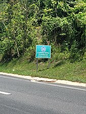 Puerto Rico Highway 203 south in Gurabo
