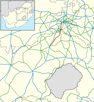
The R561 is a Regional Route in South Africa. [1]
| Regional route R561 | ||||
|---|---|---|---|---|
| Route information | ||||
| Length | 102 km (63 mi) | |||
| Location | ||||
| Country | South Africa | |||
| Highway system | ||||
| ||||
The R561 is a Regional Route in South Africa. [1]
| Regional route R561 | ||||
|---|---|---|---|---|
| Route information | ||||
| Length | 102 km (63 mi) | |||
| Location | ||||
| Country | South Africa | |||
| Highway system | ||||
| ||||
Its northern origin is Zanzibar border post with Botswana in Limpopo province. It heads south, crossing the R572 at the village of Maasstroom. It crosses the N11 at a staggered crossing at the village of Baltimore and ends at an intersection with the R518 at Marken. [1]

The N1 is a national route in South Africa that runs from Cape Town through Bloemfontein, Johannesburg, Pretoria and Polokwane to Beit Bridge on the border with Zimbabwe. It forms the first section of the famed Cape to Cairo Road.

The R25 is a provincial route in South Africa that connects Johannesburg with Groblersdal via Kempton Park, Bapsfontein and Bronkhorstspruit.

The R50 is a provincial route in South Africa that connects Pretoria with Standerton via Delmas and Leandra.

The R55 is a north-south provincial route in Gauteng, South Africa that connects Sandton with Pretoria. It passes Woodmead, Kyalami, Olievenhoutbosch, Heuweloord, Sunderland Ridge, Erasmia, Laudium/Claudius, West Park, the Daspoort Tunnel and Danville. It connects with the M1, N14, and R80 highways. It is also designated as the P66-1 and K71 by the Gauteng Provincial Government.

The R82 is a provincial route in South Africa that connects Johannesburg with Kroonstad via Vereeniging and Sasolburg. It starts just south of the M1 Johannesburg Municipal Highway's interchange with the N12 Southern Bypass, going south, meeting the R59, R54, R42 & R28 routes at Vereeniging before crossing the Vaal River into the Free State & proceeding to Kroonstad. It is an alternative, but longer route to the N1 national route between Johannesburg & Kroonstad.
The R304 is a Regional Route in South Africa that connects Stellenbosch with Atlantis.
The R306 is a Regional Route in South Africa that connects the N9 between Willowmore and Aberdeen with the R61 between Beaufort West and Aberdeen.
The R330 is a Regional Route in South Africa that connects Cape St. Francis on the south coast with Hankey to the north via Humansdorp.
The R392 is a Regional Route in South Africa that connects Walaza with Komani via Sterkspruit, Lady Grey and Dordrecht.

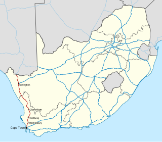
The N7 is a national route in South Africa that runs from Cape Town northwards through the West Coast and Namaqualand regions to the Namibian border at Vioolsdrif. It is known as the Cape Namibia Road. After crossing the border, it changes designation to B1 and runs north through Windhoek and the north of Namibia.

Sir Lowry's Pass is a mountain pass on the N2 national road in the Western Cape province of South Africa. It crosses the Hottentots Holland Mountains between Somerset West and the Elgin valley, on the main route between Cape Town and the Garden Route. A railway line also crosses the mountain range near this point.

The N14 is a national route in South Africa which runs from Springbok in the Northern Cape to Pretoria in Gauteng. It passes through Upington, Kuruman, Vryburg, Krugersdorp and Centurion. The section between Pretoria and Krugersdorp is maintained by the Gauteng Provincial government and is also designated the P158.

The N18 is a national route in South Africa which runs from Warrenton through Vryburg and Mahikeng to Ramatlabama on the border with Botswana.

Muldersdrift, in the Gauteng Province of South Africa, is a picturesque rural area situated 27 km north-west of Johannesburg, between Johannesburg and the Magaliesberg mountain range. The area falls under the West Rand District Municipality, and is part of the Mogale City Local Municipality.
The R512 is a Regional Route in South Africa that connects Brits, North West with Randburg, Gauteng via the western side of Hartbeespoort. It is an alternative route to the R511 for travel between the Johannesburg Metropole and Brits.
The R532 is a Regional Route in South Africa that connects the Blyde River Canyon with Sabie via Graskop.
The R551 is a Regional Route in Gauteng, South Africa that connects Evaton and Orange Farm with the Suikerbosrand Nature Reserve via Meyerton.
The R566 is a Regional Route in South Africa that connects Brits with Pretoria North via Ga-Rankuwa and Rosslyn.

Provincial routes are the second category of road in the South African route-numbering scheme. They are designated with the letter "R" followed by a number from 21 to 82, formerly with the letter "P" followed by a number from 66. They serve as feeders to the national routes and as trunk roads in areas where there is no national route.

The M9 is a long metropolitan route in the City of Cape Town, South Africa. It connects Sir Lowry's Pass Village with Wynberg via Somerset West, Firgrove, Macassar, Khayelitsha and Nyanga.