Radočaj Brodski | |
|---|---|
Village | |
 | |
 | |
| Country | |
| County | Primorje-Gorski Kotar County |
| Town | Delnice |
| Area | |
| • Total | 1.7 km2 (0.7 sq mi) |
| Population (2021) [2] | |
| • Total | 5 |
| • Density | 2.9/km2 (7.6/sq mi) |
| Time zone | UTC+1 (CET) |
| • Summer (DST) | UTC+2 (CEST) |
Radočaj Brodski | |
|---|---|
Village | |
 | |
 | |
| Country | |
| County | Primorje-Gorski Kotar County |
| Town | Delnice |
| Area | |
| • Total | 1.7 km2 (0.7 sq mi) |
| Population (2021) [2] | |
| • Total | 5 |
| • Density | 2.9/km2 (7.6/sq mi) |
| Time zone | UTC+1 (CET) |
| • Summer (DST) | UTC+2 (CEST) |

Zagreb County is a county in Northern Croatia. It surrounds, but does not contain, the nation's capital Zagreb, which is a separate territorial unit. For that reason, the county is often nicknamed "Zagreb ring". According to the 2021 census, the county has 299,985 inhabitants, most of whom live in smaller urban satellite towns.

Primorje – Gorski Kotar County is a county in western Croatia, most of it based in the historical and cultural region called Croatia proper and some of it in Istria, including the Bay of Kvarner, the surrounding Northern Croatian Littoral, and the mountainous region of Gorski Kotar. Its center is Rijeka. The county's population was 296,195 at the 2011 census.

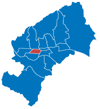
Trnje is a district in the City of Zagreb, Croatia. According to the 2011 census, the district had 42,282 residents. It is located in the central part of the city, south of Donji grad across the railway, east of Trešnjevka, west of Peščenica, and north of the river Sava. The Slavonska Avenue intersects Trnje.

Kraljevica is a town in the Kvarner region of Croatia, located between Rijeka and Crikvenica, approximately thirty kilometers from Opatija and near the entrance to the bridge to the island of Krk. The population of the settlement of Kraljevica itself is 2,857 with a total of 4,618 in the area of the town of Kraljevica, which is part of Primorje-Gorski Kotar County, and includes Šmrika. The town is known for its shipyard which has built a number of ships for the Croatian navy.

Delnice is a town in western Croatia, the largest settlement in the mountainous region of Gorski Kotar, in the Primorje-Gorski Kotar County. The town has a population of 4,379, and total municipality population is 5,952 (2011). Delnice is Gorski Kotar's main town.

Trešnjevka – jug is a district of Zagreb, Croatia. It is in the western part of the city and has 66,674 inhabitants.

Trešnjevka – sjever is one of the districts of Zagreb, Croatia. It is located in the western part of the city and has 55,425 inhabitants according to the 2011 census.

Gornji Grad–Medveščak is one of the districts of Zagreb, Croatia; Gornji Grad translates as "Upper Town", referring to its historical location on city's hillside, being above Donji Grad. The district is located in the central part of the city and, according to the 2011 census, it has 30,962 inhabitants spread over 10.19 km2 (3.93 sq mi).

Stenjevec is one of the districts of Zagreb, Croatia. It is located in the western part of the city and has 61 000 inhabitants.

Novi Slankamen is a village in Serbia. It is located in the municipality of Inđija, Syrmia District, Autonomous Province of Vojvodina. Novi Slankamen is situated about 15 kilometers east of Inđija, on the bank of Danube (Dunav) and has a total population of 3,421.

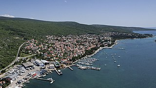
Punat is a municipality in the Primorje-Gorski Kotar County in western Croatia on the island of Krk. The municipality has a population of 1,900, with 90% Croats (2021). With Stara Baška being the only other settlement in the municipality, the village of Punat itself has a population of 1,784. The town first appears in writings from 1377 AD, but the exact date of its foundation is not known. In the bay, there is the little island of Košljun.
Nemetin is a village in eastern Slavonia, Croatia, located near Osijek. It has a population of 139. It is administratively located in the City of Osijek.

Lokve is a Croatian municipality of Primorje–Gorski Kotar County. With an area of 42 km2, it has a population of 1,049.
Lozan is a village in Croatia. It is connected by the D2 highway.

Retkovci is a village in Croatia.

Rokovci is a village in eastern Croatia in the Andrijaševci Municipality of Vukovar-Syrmia County.

Novi Jankovci is a village in the Stari Jankovci Municipality in eastern Croatia.

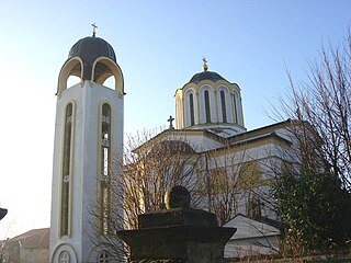
The Church of St. Nicholas is a Serbian Orthodox church in Rijeka, Croatia. The church is dedicated to Saint Nicholas. The building of the church was completed in 1790.
Gornja Topličica is a settlement (naselje) in the Sveti Ivan Zelina administrative territory of Zagreb County, Croatia. As of 2011 it had a population of 157 people.
Laktec is a settlement (naselje) in the Sveti Ivan Zelina administrative territory of Zagreb County, Croatia. As of 2011 it had a population of 175 people.
45°26′16″N14°51′57″E / 45.4376894700°N 14.8659617000°E