
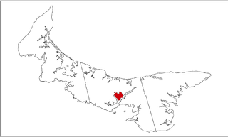
Stratford is a town located in Queens County, Prince Edward Island.
Cornwall is a Canadian town located in Queens County, Prince Edward Island. The town is located immediately west of the provincial capital Charlottetown.
Alberton is a Canadian town located in Prince County, Prince Edward Island. It is situated in the western part of the county in the township of Lot 5.

Prince County is located in western Prince Edward Island, Canada. The county's defining geographic feature is Malpeque Bay, a sub-basin of the Gulf of St. Lawrence, which creates the narrowest portion of Prince Edward Island's landmass, an isthmus upon which the city of Summerside is located.

Kensington is a Canadian town located in Prince County, Prince Edward Island. It is 15 km (9.3 mi) northeast of the city of Summerside. In 2021, its population was 1,812.

Miscouche is a municipality that holds community status in Prince Edward Island, Canada. It is located in Prince County.
Palmer Road is a small community located in Lot 1, in Prince County, Prince Edward Island, Canada that is located on Route 155, Route 156 and Route 158. There are approximately 100 citizens in Palmer Road, and it is located between Tignish and St. Louis, Prince Edward Island. It is also home to the Immaculate Conception Church, and the nearby Palmer Road Community Center. Palmer Road is located 2 mi (3.2 km) northwest of St. Louis, and 6 mi (9.7 km) southwest of Tignish.
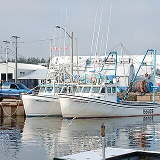
Murray Harbour is a community that holds rural municipality status in Prince Edward Island, Canada. It is located in southeastern Kings County.
Hunter River is a municipality that holds community status in Prince Edward Island, Canada. It is located in Queens County southwest of North Rustico. It is situated on the Hunter River.
Sherwood is a neighbourhood of the city of Charlottetown in central Queens County, Prince Edward Island, Canada.
Winsloe is a neighbourhood in the northwestern part of the Canadian city of Charlottetown, Prince Edward Island.
East Royalty is a neighbourhood of the Canadian city of Charlottetown, Prince Edward Island.
Cardigan was a municipality that held community status in Prince Edward Island, Canada. It was a fishing community in eastern Kings County.
St. Eleanors is a neighbourhood in the city of Summerside, Prince Edward Island, Canada.
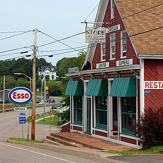
Bedeque is a former municipality that previously held community status in the Canadian province of Prince Edward Island. It was dissolved through its amalgamation with the Community of Central Bedeque on November 17, 2014 to create the Community of Bedeque and Area.
Kinross is a settlement in Prince Edward Island. It is named after Kinross in Scotland. It is within the census subdivision of Lot 57, Prince Edward Island. Kinross borders three other communities: Uigg, Orwell, and Lyndale.
Linkletter is a rural municipality in Prince Edward Island, Canada. It is located in Prince County.
Tignish Shore is a rural municipality in Prince Edward Island, Canada. It is located in the Lot 1 township.
Wilmot is a neighbourhood in the Southeastern part of the Canadian city of Summerside, Prince Edward Island.

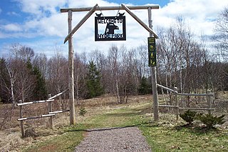
Resort Municipality, officially named the Resort Municipality of Stanley Bridge, Hope River, Bayview, Cavendish and North Rustico, is the lone municipality in Prince Edward Island, Canada that holds resort municipality status. It was established in 1990.

