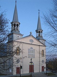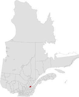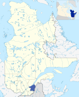
Charlesbourg is a borough of Quebec City, in the northeastern part of the city and West of the borough of Beauport.

Saint-Jean-Chrysostome is a sector within the Les Chutes-de-la-Chaudière-Est borough of the city of Lévis in central Quebec, Canada south of Quebec City on the south bank of the Saint Lawrence River. It was a separate town, incorporated in 1828, but in 2002 was amalgamated into Lévis.

Saint-Nicolas is a district within Les Chutes-de-la-Chaudière-Ouest borough of the city of Lévis, Quebec, Canada on the St. Lawrence River. Prior to 2002, it was an independent municipality.
The Executive Council of Quebec is the cabinet of the government of Quebec, Canada.

Beauport is a borough of Quebec City, Quebec, Canada on the Saint Lawrence River.
Vanier is a former city in central Quebec, Canada. It was amalgamated into Quebec City in 2002. It is located within the Borough of Les Rivières. Population (2001): 11,504
The urban agglomeration of Quebec City is an urban agglomeration in Quebec. It may also be referred to as the urban agglomeration of the city of Québec.
Chutes-de-la-Chaudière is a provincial electoral district in the Chaudière-Appalaches region of Quebec, Canada that elects members to the National Assembly of Quebec. The district is located within the city of Lévis, and comprises part of the borough of Les Chutes-de-la-Chaudière-Est and all of the borough of Les Chutes-de-la-Chaudière-Ouest.
Jonquière is a provincial electoral district in the Saguenay–Lac-Saint-Jean region of Quebec, Canada that elects members to the National Assembly of Quebec. It is located within the city of Saguenay and consists of most of the borough of Jonquière.
Arthabaska is a provincial electoral district in the Centre-du-Québec region of Quebec, Canada that elects members to the National Assembly of Quebec. It includes the cities or municipalities of Victoriaville, Plessisville, and Princeville.

Saint-Romuald is a district within the Les Chutes-de-la-Chaudière-Est borough of Lévis, Quebec, Canada, located on the south shore of the Saint Lawrence River across from Quebec City. The district was formerly a town, but was amalgamated with Lévis on January 1, 2002.

Québec is a territory equivalent to a regional county municipality (TE) and census division (CD) of Quebec. Its geographical code is 23.
Vanier is a former provincial electoral district located in the Capitale-Nationale region of Quebec, Canada, which elected members to the National Assembly of Quebec. As of its final election, it included mostly western and central portions of Quebec City west of Quebec Autoroute 73.
Champlain is a provincial electoral riding in the Mauricie region of Quebec, Canada, which elects members to the National Assembly of Quebec. It includes the municipalities of Saint-Stanislas, Saint-Narcisse and Sainte-Anne-de-la-Pérade and the eastern portions of the city of Trois-Rivières. Its boundaries have remained the same since the 1973 election. However, the boundaries will change for the 2018 election as it will be gaining Hérouxville, Lac-aux-Sables, Notre-Dame-de-Montauban, Saint-Adelphe, Sainte-Thècle, Saint-Séverin and Saint-Tite from Laviolette.

La Cité-Limoilou is the central borough of Quebec City, the oldest, and the most populous, comprising 21.85% of the city's total population. As an administrative division, it is very new, having only been formed on November 1, 2009, from the former boroughs of La Cité and Limoilou; now La Cité-Limoilou.
Taschereau is a provincial electoral district in the Capitale-Nationale region of Quebec, Canada that elects members to the National Assembly of Quebec. It consists of part of the La Cité-Limoilou borough of Quebec City and the tiny enclave of Notre-Dame-des-Anges.

Laurentien is a former borough of Quebec City. It comprised Val-Bélair, Cap-Rouge and part of Sainte-Foy.
Vanier-Les Rivières is a provincial electoral district in the Capitale-Nationale region of Quebec, Canada, that elects members to the National Assembly of Quebec. It consists of the entire territory of the Les Rivières borough of Quebec City.
Les Chutes-de-la-Chaudière-Est is a borough of the city of Lévis, Quebec. It was created on January 1, 2002.
Les Chutes-de-la-Chaudière-Ouest is a borough of the city of Lévis, Quebec. It was created on January 1, 2002.


