Madhavaram is a neighbourhood of Chennai, Tamil Nadu, India. Located in the northern part of Chennai, it is also a taluk in Chennai District and a zone in Greater Chennai Corporation. It is located in between Perambur and Kodungaiyur. As of 2011, the neighbourhood had a population of 119,105. The Chennai district was expanded on 16 August 2018 by transferring Madhavaram taluk from Tiruvallur district to Chennai district.

Manapparai is a municipality in Tiruchirappalli district in the Indian state of Tamil Nadu. Manapparai Town is located 38 km from Trichy. Manapparai is the headquarters of the Manapparai Taluk. Manapparai is famous for murukku and cattle market. As of 2011, the town had a population of 40,510.
Tiruvottriyur is a neighbourhood in North Chennai, administered by the Greater Chennai Corporation. It is part of the Tondiarpet division, located to the north of Chennai. It is one of the fifteen administrative zones in the Greater Chennai Corporation. The zone is called Zone 1 (Tiruvottriyur).

Bhagabanpur I is a community development block that forms an administrative division in Egra subdivision of Purba Medinipur district in the Indian state of West Bengal.
Bagdah is a community development block that forms an administrative division in Bangaon subdivision of North 24 Parganas district in the Indian state of West Bengal.

Rampurhat II is a community development block that forms an administrative division in Rampurhat subdivision of Birbhum district in the Indian state of West Bengal.

Chapra is a community development block that forms an administrative division in Krishnanagar Sadar subdivision of Nadia district in the Indian state of West Bengal.
Sarenga is a community development block that forms an administrative division in the Khatra subdivision of the Bankura district in the Indian state of West Bengal.
Mathurapur I is a community development block that forms an administrative division in Diamond Harbour subdivision of South 24 Parganas district in the Indian State of West Bengal.

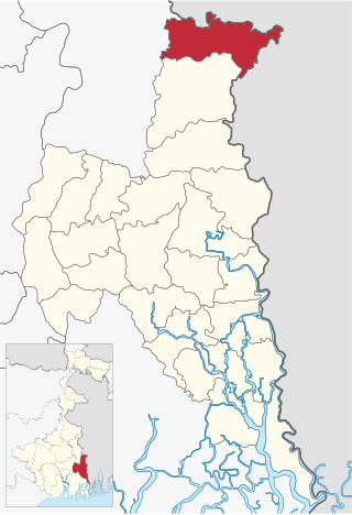
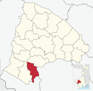
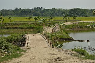
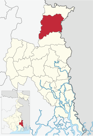
Swarupnagar is a community development block that forms an administrative division in Basirhat subdivision of North 24 Parganas district in the Indian state of West Bengal.

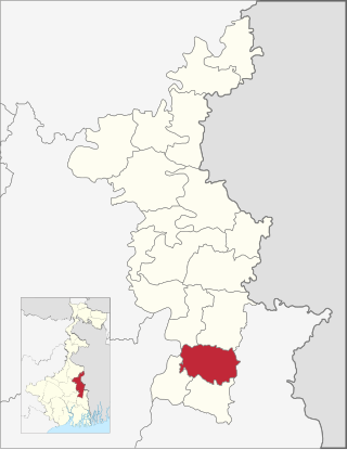
Rajarhat is a community development block that forms an administrative division in Bidhannagar subdivision of North 24 Parganas district in the Indian state of West Bengal.
Baduria is a community development block that forms an administrative division in Basirhat subdivision of North 24 Parganas district in the Indian state of West Bengal.
Bangaon is a community development block that forms an administrative division in Bangaon subdivision of North 24 Parganas district in the Indian state of West Bengal.

Ranaghat I is a community development block that forms an administrative division in Ranaghat subdivision of Nadia district in the Indian state of West Bengal.

Ranaghat II is a community development block that forms an administrative division in Ranaghat subdivision of Nadia district in the Indian state of West Bengal.
Chakdaha is a community development block that forms an administrative division in Kalyani subdivision of Nadia district in the Indian state of West Bengal.

Barabazar is a community development block that forms an administrative division in the Manbazar subdivision of the Purulia district in the Indian state of West Bengal.
Thakurpukur Maheshtala is a community development block that forms an administrative division in the Alipore Sadar subdivision of South 24 Parganas district in the Indian state of West Bengal.
Mathurapur II is a community development block that forms an administrative division in Diamond Harbour subdivision of South 24 Parganas district in the Indian State of West Bengal.
R Muthukannammal is a seventh generation veteran Sadir dancer from the Indian State of Tamil Nadu. She is the only surviving person among the 32 Devadasis who served the deity at the Viralimalai Murugan temple and she is the last woman to have the ceremony pottukkattutal of dedicating oneself to God performed at the Viralimalai temple. In the year 2022, Govt of India honoured Muthukannammal by conferring the Padma Shri award for her contributions in the field of art. The dance form Sadir, variously called as Sadiraattam or Parathaiyar Aattam or Thevarattam, is a classical Indian dance from which was reinvented, modified and rechristened as Bharatanatyam through the efforts of E Krishna Iyer in 1932. However, Muthukannammal has chosen to call her art form Sadir, making her the only Sadir exponent today.

