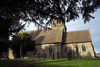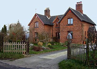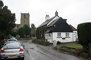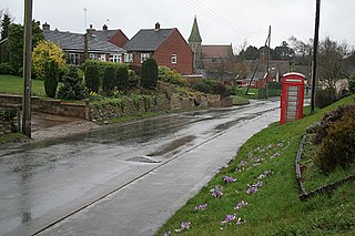
Croxden is a village in the county of Staffordshire, England, south of Alton and north of Uttoxeter. The population of the civil parish as taken at the 2011 census was 255.

Uttoxeter is a market town and civil parish in the East Staffordshire district in the county of Staffordshire, England. It is near to the Derbyshire county border.

East Staffordshire is a local government district with borough status in Staffordshire in England. It has two main towns: Burton upon Trent and Uttoxeter.

Hixon is a village and a civil parish in the English county of Staffordshire.
grid reference SK003259

Barton Blount is a village and civil parish in the South Derbyshire district of Derbyshire, England, between Derby and Uttoxeter. According to the 2001 census it had a population of 74. The population remained at fewer than 100 for the 2011 Census. Details are included in the civil parish of Church Broughton.

Stanton is a small village situated at the eastern end of the Weaver Hills, Staffordshire, England.

Denstone College is a mixed, private, boarding and day school in Denstone, Uttoxeter, Staffordshire, England. It is a Woodard School, having been founded by Nathaniel Woodard, and so Christian traditions are practised as part of College life. It is a member of the Headmasters' and Headmistresses' Conference.

Marchington is a small village in East Staffordshire, England. It lies between the towns of Burton upon Trent and Uttoxeter. Marchington has a small community-run shop, a first school, two churches and two pubs. The population of the village was 1,127 at the 2001 census, increasing to 2,017 at the 2011 census.

Bramshall is a village and former civil parish, now in the parish of Uttoxeter Rural, in the East Staffordshire district, in the county of Staffordshire, England. It is to the west of Uttoxeter. It has a new housing estate to the north of it. In 1931 the parish had a population of 173.

Marchington Woodlands is a village and former civil parish, now in the parish of Marchington, in the East Staffordshire district, in the county of Staffordshire, England. It has a church and a village hall. The local first school was closed in the 1990s and the building was converted into a private home. Marchington Woodlands consists mostly of farms and cottages. it is often Referred to by locals as The Woodlands. It is located near Uttoxeter. In 1931 the parish had a population of 273.

Hollington is a village in the Staffordshire Moorlands in English county of Staffordshire. There are several villages of this same name, and there is a Hollington, Derbyshire a few miles to the east in Derbyshire. The population taken at the 2011 census was 212.

Newborough is a village and civil parish in the county of Staffordshire, England. It is located 3 miles (5 km) south west of Hanbury and 8 miles (13 km) west of Burton-upon-Trent. Newborough has a pub, a school and a church. At the 2011 UK census, the population stood at 476, comprising 240 males and 236 females. Newborough is part of the Yoxall ward of East Staffordshire.

The Heath is an area in Uttoxeter in Staffordshire, close to the border with Derbyshire. The Heath was once a separate settlement, but it is now considered a part of Uttoxeter, although most of Uttoxeter is now part of The Heath.

St Mary the Virgin's Church, Uttoxeter, commonly called simply St Mary's, is the Church of England parish church of the town of Uttoxeter. It has a 14th-century tower and spire; the nave was rebuilt in 1828 and the chancel in 1877. It is a Grade II* listed building.

Checkley is a village and civil parish in the district of Staffordshire Moorlands in the English county of Staffordshire.

St. John's Church, Marchington Woodlands is a parish church in Marchington Woodlands, Staffordshire, United Kingdom. Built in 1859, this small country church is the only church within the parish of Marchington Woodlands.

Kingstone is a village and civil parish within the English county of Staffordshire.
Uttoxeter Rural is a civil parish in the district of East Staffordshire, Staffordshire, England. It contains 25 buildings that are recorded in the National Heritage List for England. Of these, one is at Grade II*, the middle grade, and the others are at Grade II, the lowest grade. The parish contains the countryside around the market town of Uttoxeter It includes the villages of Bramshall and Stramshall and smaller settlements, and is otherwise rural. Most of the listed buildings are houses and farmhouses, The other listed buildings include churches, a country house and associated structures, watermills and mill houses, bridges, and mileposts.
Marchington is a civil parish in the district of East Staffordshire, Staffordshire, England. The parish contains 28 listed buildings that are recorded in the National Heritage List for England. Of these, three are listed at Grade II*, the middle grade, and the others are at Grade II, the lowest grade. The parish contains the villages of Marchington and Marchington Woodlands and the surrounding countryside. Most of the listed buildings are houses and cottages with associated structures, farmhouses and farm buildings, the earliest of which are timber framed. The other listed buildings include churches, memorials in a churchyard, a small country house, three mileposts, and a telephone kiosk.

The church of St James-the-Less is in Uttoxeter Road, Longton, Staffordshire, Stoke-on-Trent, England.


