
Westphalia is a region of northwestern Germany and one of the three historic parts of the state of North Rhine-Westphalia. It has an area of 20,210 km2 (7,803 sq mi) and 7.9 million inhabitants.

North Rhine-Westphalia is the most populous of the 16 states of Germany.
The Rhineland is the name used for a loosely defined area of Western Germany along the Rhine, chiefly its middle section.
Minden-Lübbecke is a Kreis (district) in the northeastern part of North Rhine-Westphalia, Germany. Neighboring districts are Diepholz, Nienburg, Schaumburg, Lippe, Herford, Osnabrück.

The Rhein-Sieg-Kreis is a Kreis (district) in the south of North Rhine-Westphalia, Germany. Neighboring districts are Rheinisch-Bergischer Kreis, Oberbergischer Kreis, Altenkirchen, Neuwied, Ahrweiler, Euskirchen, Rhein-Erft-Kreis, the urban district of Cologne. The federal city of Bonn is nearly completely surrounded by the district.

The Sauerland[ˈzaʊɐlant] is a rural, hilly area spreading across most of the south-eastern part of North Rhine-Westphalia, in parts heavily forested and, apart from the major valleys, sparsely inhabited. For these reasons, it has been chosen as the first place in Germany to reintroduce the Wisent.

The Bergisches Land is a low mountain range region within the state of North Rhine-Westphalia, Germany, east of Rhine river, south of the Ruhr. The landscape is shaped by woods, meadows, rivers and creeks and contains over 20 artificial lakes. Wuppertal is one of the biggest towns and seen as the region's capital, whereas the southern part nowadays has closer economic and socio-cultural ties to Cologne. Wuppertal and the neighbouring cities of Remscheid, Solingen form the Bergisches Städtedreieck.

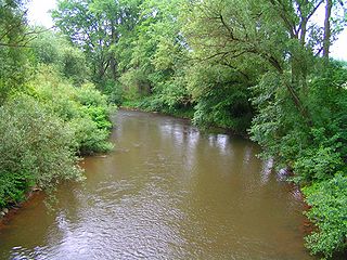
The Sieg is a river in North Rhine-Westphalia and Rhineland-Palatinate, Germany. It is a right tributary of the Rhine.
Lippe is a Kreis (district) in the east of North Rhine-Westphalia, Germany. Neighboring districts are Herford, Minden-Lübbecke, Höxter, Paderborn, Gütersloh, and district-free Bielefeld, which forms the region Ostwestfalen-Lippe.

The Inde is a small river in Belgium and in North Rhine-Westphalia, Germany.

The Rur or Roer is a major river that flows through portions of Belgium, Germany and the Netherlands. It is a right (eastern) tributary to the Meuse. About 90 percent of the river's course is in Germany.

The Heller is a 30 km long river in western Germany. It is a left tributary of the Sieg. The source is located near Haiger in Hesse. It flows through Burbach and Neunkirchen in North Rhine-Westphalia. It flows into the river Sieg in Betzdorf, Rhineland-Palatinate. Its basin area is 204 km².

The Düssel is a small right tributary of the river Rhine in North Rhine Westphalia, Germany. Its source is east of Wülfrath. It flows westward through the Neander Valley where the fossils of the first Neanderthal man were found in August 1856. At Düsseldorf it forms a river delta by splitting into four streams, which all join the Rhine after a few kilometres. The Nördliche Düssel flows through the Hofgarten and passes under the Golden Bridge.
The Kyll, noted by the Roman poet Ausonius as Celbis, is a 128-kilometre-long (80 mi) river in western Germany, left tributary of the Moselle. It rises in the Eifel mountains, near the border with Belgium and flows generally south through the towns Stadtkyll, Gerolstein, Kyllburg and east of Bitburg. It flows into the Moselle in Ehrang, a suburb of Trier.

The Duchy of Westphalia was a historic territory in the Holy Roman Empire, which existed from 1180. It was located in the greater region of Westphalia, originally one of the three main regions in the German stem duchy of Saxony and today part of the state of North Rhine-Westphalia. The duchy was held by the Archbishops and Electors of Cologne until its secularization in 1803.

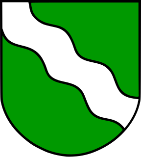
The coat of arms of North Rhine-Westphalia is the official coat of arms of the German state of North Rhine-Westphalia.

Dhünn is a 40 km (25 mi)-long river of North Rhine-Westphalia, Germany. Its main source is near Wipperfürth in the Bergisches Land area. It runs in south-westerly direction, and its mouth into the river Wupper is near Leverkusen, appr. 10 km (6.2 mi) north of Cologne.
