Sulphur Springs Draw

Last updated
Sulphur Springs Draw
Country United States
Physical characteristics
Main source Texas

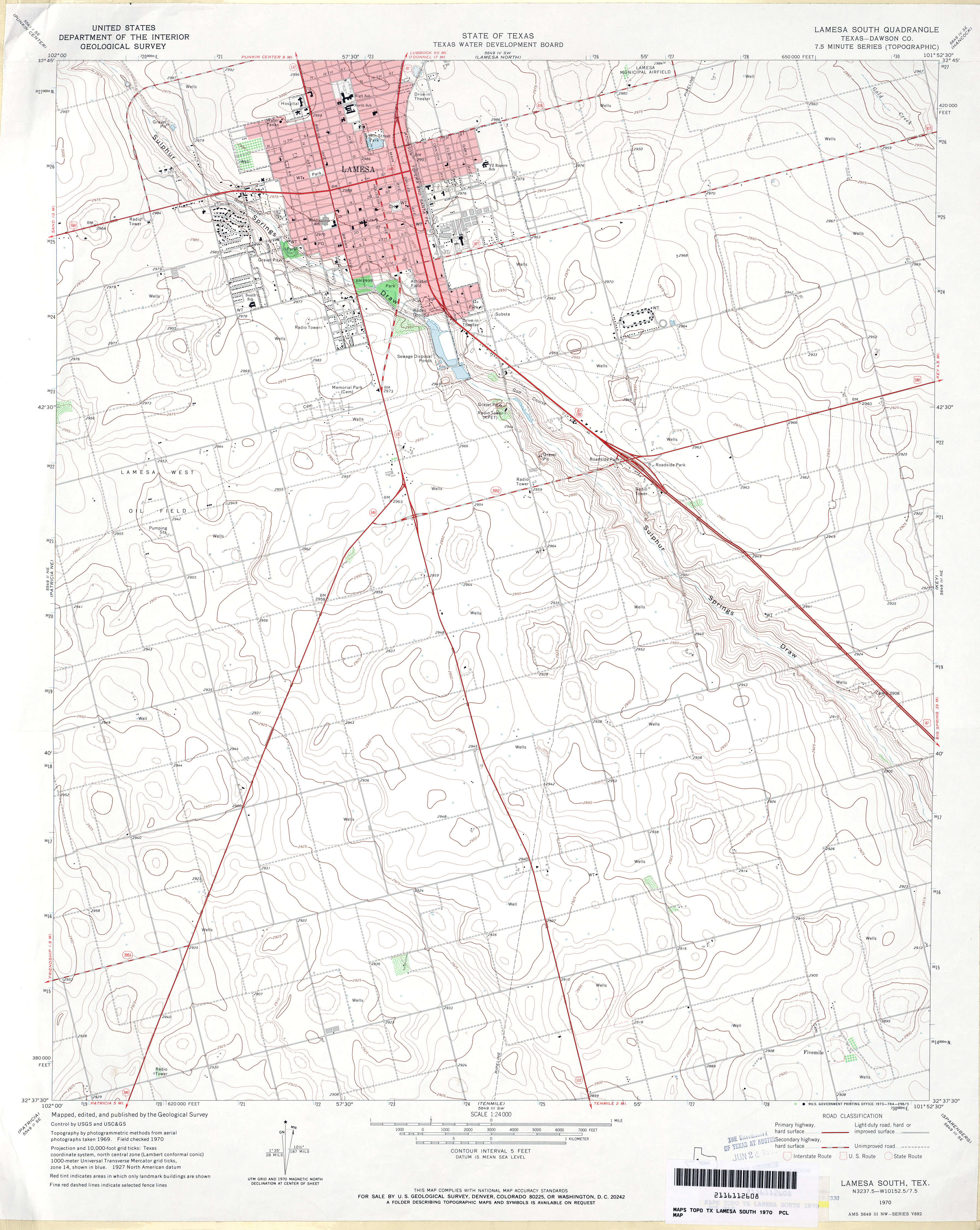
Sulphur Springs Draw is a river in Texas. It is a dry branch or Arroyo (creek) and one of the sub-tributaries of Beals creek. It pass through Lamesa, Texas [1] and joins Beals creek at Big Spring, Texas.

Texas State of the United States of America

Texas is the second largest state in the United States by both area and population. Geographically located in the South Central region of the country, Texas shares borders with the U.S. states of Louisiana to the east, Arkansas to the northeast, Oklahoma to the north, New Mexico to the west, and the Mexican states of Chihuahua, Coahuila, Nuevo León, and Tamaulipas to the southwest, while the Gulf of Mexico is to the southeast.

Arroyo (creek) A dry creek or stream bed with flow after rain

An arroyo, also called a wash, is a dry creek, stream bed or gulch that temporarily or seasonally fills and flows after sufficient rain. Flash floods are common in arroyos following thunderstorms.

Lamesa, Texas City in Texas, United States

Lamesa is a city in and the county seat of Dawson County, Texas, United States. The population was 9,422 at the 2010 census, down from 9,952 at the 2000 census. Located south of Lubbock on the Llano Estacado, Lamesa was founded in 1903. Most of the economy is based on cattle ranching and cotton farming. The Preston E. Smith prison unit, named for the former governor of Texas, is located just outside Lamesa.

See also

Related Research Articles

Big Spring, Texas City in Texas, United States

Big Spring is a city in and the county seat of Howard County, Texas, United States, at the crossroads of U.S. Highway 87 and Interstate 20. With a population of 27,282 as of the 2010 census, it is the largest city between Midland to the west, Abilene to the east, Lubbock to the north, and San Angelo to the south. Big Spring was established as the county seat of Howard County in 1882; it is the largest community in the county.

Colorado River (Texas) river in Texas

The Colorado River is an 862-mile (1,387 km) long river in the U.S. state of Texas. It is the 18th longest river in the United States and the longest river with both its source and its mouth within Texas.

Spring (hydrology) A point at which water emerges from an aquifer to the surface

A spring is a point at which water flows from an aquifer to the Earth's surface. It is a component of the hydrosphere.

Howard College Community college with main campus in Big Spring, Texas

Howard College is a community college with its main campus in Big Spring, Texas and branch campuses in San Angelo and Lamesa.

The West Texas–New Mexico League was a minor league baseball league that operated from 1937 through 1955. The league was not active in 1943–1945 because of World War II. The league started as "Class D", switched to "Class C" in 1946 and then to "Class B" in 1955.

KPET is a radio station licensed to serve Lamesa, Texas, United States. The station is owned by Dawson County Broadcasting LLC/DCB License Sub LLC. The station's 280-foot tower is located at the south edge of the city of Lamesa.

Beals Creek is a river in Texas.

Cypress Creek (Texas) river in the United States of America

Cypress Creek is a stream that flows from Snake Creek and Mound Creek in Waller County, Texas to its mouth at Spring Creek in Harris County, Texas. It is part of the Cypress Creek watershed, and flows into the west fork of the San Jacinto River watershed- eventually flowing to the Gulf of Mexico.

Howard Draw is a valley that heads in the extreme south of Reagan County, Texas at an elevation of 2720 feet at 30°05′09″N101°22′27″W, and runs through Crockett County to its foot on the Pecos River in Val Verde County, elevation 1575 feet.

Independence Creek is a spring-fed stream in the Chihuahuan Desert in west Texas that feeds 27 million gallons of water per day to the Pecos River.

Onion Creek (Texas) river in the United States of America

Onion Creek is a small tributary stream of the Colorado River in Texas. It begins 12 mi (19 km) southeast of Johnson City, Blanco County, Texas, and flows approximately 79 mi (127 km) eastward into the Colorado River, 2 mi (3.2 km) northwest of Garfield in Travis County, Texas. While areas surrounding the creek's origin in Blanco County are primarily rural, areas closer to its mouth in Travis County have more urban and industrial development. Passing near Dripping Springs, Driftwood, and Onion Creek, Onion Creek is the source of the waterfalls in McKinney Falls State Park. Onion Creek's watershed spans an area of 211 sq mi (550 km2)

Tunas Creek formerly known as Arroyo Escondido, is a Stream tributary to the Pecos River, in Pecos County, Texas. Its source is at 30°52′53″N102°34′59″W on the southwestern side of Big Mesa.

KTXC is a Spanish language radio station airing a regional Mexican format, licensed to Lamesa, Texas, broadcasting on 104.7 MHz FM. KTXC serves the areas of Lamesa, Texas, Midland, Texas, Big Spring, Texas, and Odessa, Texas, and is owned by Gray Television.

Honey Creek is a common geographical place name given to multiple locales, structures and bodies of water within the U.S. state of Texas. Several counties have more than one Honey Creek place name within their boundaries. Comal County has six Honey Creek place names that include Honey Creek State Natural Area and the Honey Creek State Natural Area Trail, and also Honey Creek Spring, the community of Honey Creek, the Honey Creek stream, and Honey Creek Cemetery. In addition to Comal, the counties of Bandera, Hamilton and Llano have cemeteries with that name.. Bandera, Kerr and Mason counties each have a Honey Creek Ranch. In Mason County, the Honey Creek stream is an historic archaeological site. Hunt County has Honey Creek Church on its Honey Creek stream.

45th Scripps National Spelling Bee

The 45th Scripps National Spelling Bee was held in Washington, D.C. at the Mayflower Hotel in June 1972, sponsored by the E.W. Scripps Company.

References

  1. Geological Survey (U.S.),; Texas Water Development Board. Lamesa South quadrangle, Texas--Dawson Co., 1970 : 7.5 minute series (topographic). Retrieved 24 November 2015.Univ. of Texas, Austin website