Related Research Articles

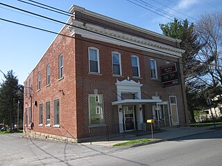
Everett is a borough in Bedford County, Pennsylvania, United States. The population was 1,765 at the 2020 census.

Summerhill is a borough in Cambria County, Pennsylvania, United States. The population was 490 at the 2010 census.
Big Run is a borough in Jefferson County, Pennsylvania, United States. The population was 624 at the 2010 census, a decline from the figure of 686 tabulated in 2000. The borough was named for the waterway of the same name.

Corsica is a borough in Jefferson County, Pennsylvania, United States. The population was 357 at the 2010 census. It was named for the island of Corsica, birthplace of Napoleon Bonaparte. The mayor of the borough is Dave Leadbetter.
Puzzletown is an unincorporated community and census-designated place (CDP) in Blair County, Pennsylvania, United States.

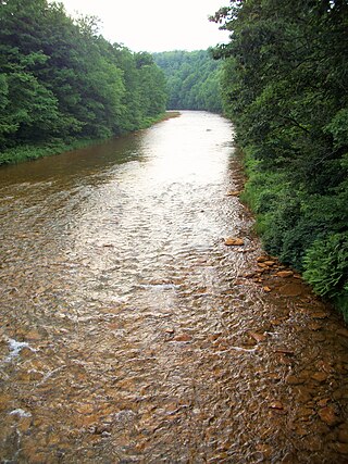
The Little Juniata River, sometimes called the "Little J", is a 32.1-mile-long (51.7 km) tributary of the Juniata River in the Susquehanna River watershed of Pennsylvania. It is formed at Altoona by the confluence of several short streams. It flows northeast in the Logan Valley at the foot of Brush Mountain.
Wills Creek is a 38.6-mile-long (62.1 km) tributary of the North Branch Potomac River in Pennsylvania and Maryland in the United States.

Black Moshannon Creek is a 22.9-mile-long (36.9 km) tributary of Moshannon Creek in Centre County, Pennsylvania in the United States.
Moshannon Creek is a 57.4-mile-long (92.4 km) tributary of the West Branch Susquehanna River in Centre County, Pennsylvania in the United States. Throughout its length, it serves as the boundary between Centre and Clearfield counties.

The Frankstown Branch Juniata River is a 46.0-mile-long (74.0 km) tributary of the Juniata River in Blair and Huntingdon counties, Pennsylvania, in the United States.
Clover Creek is a 24.5-mile-long (39.4 km) tributary of the Frankstown Branch Juniata River in Bedford and Blair counties, Pennsylvania, in the United States.
Little Clearfield Creek is a 14.5-mile-long (23.3 km) tributary of Clearfield Creek in Clearfield County, Pennsylvania in the United States.
Spruce Creek is a 16.5-mile-long (26.6 km) tributary of the Little Juniata River in Huntingdon County, Pennsylvania in the United States.

Conashaugh Lakes is a census-designated place located in Dingman Township, Pike County in the state of Pennsylvania. The community is located off Pennsylvania Route 739 to the south of Interstate 84. As of the 2020 census the population was 1,425 residents.
Skelp is an unincorporated community and Census-designated place located in Tyrone Township, Blair County, Pennsylvania, United States. It is located on Skelp Mountain Road at the intersection with Hobbit Hollow Road, at the foot of Mt. Charma, a small section of Brush Mountain. It is located in Sinking Valley and is near Culp, another small unincorporated community. Elk Run flows through Skelp.
The Pennsylvania State Game Lands Number 14 are Pennsylvania State Game Lands in Cameron, and Elk Counties in Pennsylvania in the United States providing hunting, bird watching, and other activities.
The Pennsylvania State Game Lands Number 25 are Pennsylvania State Game Lands in Elk County in Pennsylvania in the United States providing hunting, bird watching, and other activities.
The Pennsylvania State Game Lands Number 33 are Pennsylvania State Game Lands in Centre County in Pennsylvania in the United States providing hunting, bird watching, and other activities.
Wilgus is an unincorporated community in Indiana County, in the U.S. state of Pennsylvania.
Kerrmoor is an unincorporated community in Clearfield County, in the U.S. state of Pennsylvania.
References
- ↑ U.S. Geological Survey Geographic Names Information System: Tatman Run
- ↑ Africa, J. Simpson (1883). History of Huntingdon and Blair Counties, Pennsylvania. Louis H. Everts. p. 306.
40°18′37″N78°10′52″W / 40.31028°N 78.18111°W