
U.S. Route 45W is a 62.33-mile-long (100.31 km) United States Numbered Highway in West Tennessee, connecting Jackson with South Fulton via Humboldt, Trenton, Rutherford, and Union City. For the majority of its length, it runs concurrently with unsigned State Route 5.

State Route 22 is a 172.8-mile long (278.1 km) south-to-north state highway in the western part of Tennessee, United States. It begins at the Mississippi state line in McNairy County, where the roadway continues as Mississippi Highway 2. It ends at the Kentucky state line in Lake County, when it crosses into the Kentucky Bend, a detached portion of Fulton County, Kentucky. The monument for the 1862 Battle of Island Number Ten in the American Civil War is located on SR 22, about 3 mi (4.8 km) north of Tiptonville.
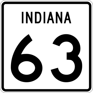
State Road 63 (SR 63) in the U.S. state of Indiana is a north–south route in the western portion of the state. Until mid-2008, it covered a distance of just over 96 miles (154 km), but now is a discontinuous route. For 63 miles (101 km), from the city of Terre Haute until it rejoins U.S. Route 41 (US 41) near Carbondale, it is a four-lane divided highway and replaces US 41 as the major north–south artery in this portion of the state.

State Route 66 is a state-maintained highway in eastern Tennessee, including a six-lane divided highway known as Winfield Dunn Parkway in Sevier County, a four-lane expressway in Hamblen and Jefferson counties and a two-lane rural collector through mountainous terrain continuing to the northeast terminus in Hancock County.

State Route 265 is a state highway in Davidson and Wilson counties in Middle Tennessee. It runs from SR 45 in Hermitage, through middle Tennessee to its eastern terminus at US Route 70 (US 70) outside of Watertown.

State Route 18 is a primary state highway in south-central West Tennessee. SR 18 is a two-lane facility throughout the majority of its length through the state with the exception being in Bolivar, Tennessee. SR 18 has a short concurrency with US 64 and also with SR 125 at Bolivar.

State Route 266 is a state highway in Middle Tennessee. The southern terminus is in a currently undeveloped section of Smyrna at an interchange with I-24. The northern terminus is in Lebanon at an intersection with US 70.

State Route 14 is a south–north route from the Mississippi border in Memphis, Tennessee to an intersection with State Route 54 in Tipton County.

State Route 5 is a 120-mile-long (190 km) north–south state highway in the western part of the U.S. state of Tennessee. Except for the section northwest of Union City, it is entirely concurrent with U.S. Route 45 and US 45W.

State Route 20 (SR 20) is a 143.04-mile (230.20 km) long east–west primary state highway that begins in Dyersburg and ending near Summertown. SR 20 is unsigned and concurrent with U.S. Route 412 (US 412) for its entire length, except for a short section between Hohenwald and Summertown. Along its route, SR 20 traverses parts of both Middle Tennessee and West Tennessee.

In Tennessee, U.S. Route 412 stretches for 181.93 miles (292.79 km) through the farmland of West Tennessee and the hills of Middle Tennessee, starting at the Missouri state line near Dyersburg and running to an interchange between I-65 and SR 99 in Columbia.

U.S. Route 127 in Tennessee is a 129.5-mile-long (208.4 km) United States Numbered Highway from Chattanooga to the Kentucky state line at Static. The highways connects through Dunlap, Pikeville, Crossville, and Jamestown. Throughout its length, US 127 straddles the line between East Tennessee and Middle Tennessee.

U.S. Route 45 (US 45) in Tennessee extends from the Mississippi state line to the Kentucky state line in West Tennessee, passing through the cities of Selmer, Henderson, Jackson, and South Fulton. Between Three Way and South Fulton, the highway is split into US 45W and US 45E.

State Route 55 is an east–west highway in Middle Tennessee. The road begins at SR 50 in Lynchburg and ends at U.S. Route 70S and SR 380 in McMinnville. The current length is 49.3 mi (79.3 km). SR 55 heads northeast from Lynchburg to Tullahoma as a two-lane road. In Tullahoma, the route runs concurrent with US 41A. From here, SR 55 heads northeast as a multilane highway to Manchester, where it intersects US 41 and Interstate 24 (I-24). The route continues northeast, serving Summitville and Morrison before it reaches McMinnville.

State Route 186 is a state highway in the U.S. state of Tennessee. It runs from Trenton southward to Jackson, passing through the towns of Gibson and Three Way along the way. The southern portion serves as a western bypass for the city of Jackson, which is signed as U.S. Route 45 Bypass.
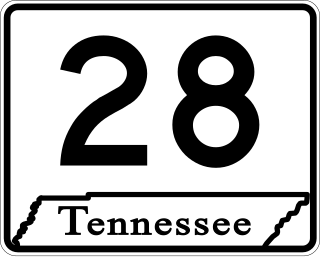
State Route 28 is a state highway in the state of Tennessee, traversing the state in a north–south axis from south of Jasper to the Kentucky state line at Static.
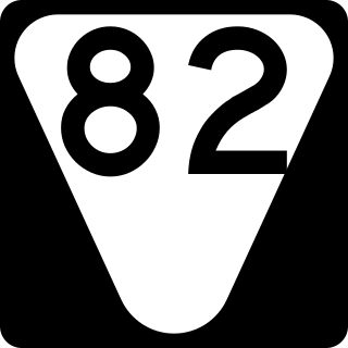
State Route 82 is a secondary state highway that runs through Moore and Bedford counties in south central Tennessee in the United States. The route runs from an intersection with SR 55 in Lynchburg north and east to SR 64 near Beech Grove.
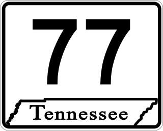
State Route 77 (SR 77), is an east–west state highway in the U.S. state of Tennessee. The 84.86-mile-long (136.57 km) route traverses the flat farmland of West Tennessee.

State Route 138 is a 23.01-mile-long (37.03 km) state highway in West Tennessee, connecting the town of Toone with Interstate 40 (I-40).

State Route 152 is a 36.88-mile-long (59.35 km) east-west state highway traversing the flat farmland of West Tennessee.

