Thung Ko ทุ่งก่อ | |
---|---|
Country | Thailand |
Province | Chiang Rai |
District | Wiang Chiang Rung |
Population (2005) | |
• Total | 10,227 |
Time zone | UTC+7 (ICT) |
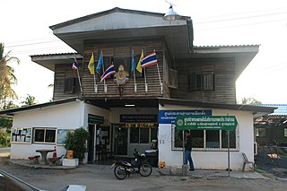
Thung Ko (Thai : ทุ่งก่อ) is a village and tambon (sub-district) of Wiang Chiang Rung District, in Chiang Rai Province, Thailand. [1] In 2005 it had a population of 10,227 people. The tambon contains 15 villages.
Thai, Central Thai or Ayutthaya or Siamese, is the sole official and national language of Thailand and the first language of the Central Thai people and vast majority of Thai of Chinese origin. It is a member of the Tai group of the Kra–Dai language family. Over half of Thai vocabulary is derived from or borrowed from Pali, Sanskrit, Mon and Old Khmer. It is a tonal and analytic language.
Tambon is a local governmental unit in Thailand. Below district (amphoe) and province (changwat), they form the third administrative subdivision level. As of 2016 there were 7,255 tambons, not including the 180 khwaeng of Bangkok, which are set at the same administrative level, thus every district contains eight to ten tambon. Tambon is usually translated as "township" or "subdistrict" in English — the latter is the recommended translation, though also often used for king amphoe, the designation for a subdistrict acting as a branch of the parent district. Tambon are further subdivided into 69,307 villages (muban), about ten per tambon. Tambon within cities or towns are not subdivided into villages, but may have less formal communities called chumchon (ชุมชน) that may be formed into community associations.
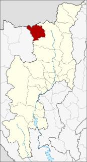
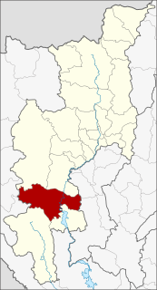
Wiang Chiang Rung is a district (amphoe) of Chiang Rai Province, northern Thailand.
Mae Sai is the northernmost district (amphoe) of Chiang Rai Province in northern Thailand. The town of Mae Sai is a major border crossing between Thailand and Myanmar. Asian Highway Network AH2 crosses the Mae Sai River to the town Tachileik in Myanmar.
San Kamphaeng is a district (amphoe) of Chiang Mai Province in northern Thailand.
Chiang Dao is a district (amphoe) of Chiang Mai Province in northern Thailand. It is nicknamed "little Tuscany" and several wines are produced in the area.
Fang is a district (amphoe) in the northern part of Chiang Mai Province, northern Thailand.
Wiang Haeng is a district (amphoe) in the northern part of Chiang Mai Province, northern Thailand.
Chiang Khong is a district (amphoe) in the northeastern part of Chiang Rai Province, northern Thailand.
Chiang Klang is a district (amphoe) in the northern part of Nan Province, northern Thailand.
Mueang Chiang Rai is the capital district of Chiang Rai Province, northern Thailand.
Wiang Chai is a district (amphoe) in the central part of Chiang Rai Province, northern Thailand.
Mueang Lamphun is the capital district of Lamphun Province, northern Thailand.
Phan is a district (amphoe) in the southern part of Chiang Rai Province, northern Thailand.
Pa Daet is a district (amphoe) in the southern part of Chiang Rai Province, northern Thailand.
Doi Saket is a district (amphoe) in the eastern part of Chiang Mai Province in northern Thailand. The district is predominantly a rural farming area, containing a mixture of rice fields on the valley floor to orchard and other farming on the hillsides. The village is known for its murals inside Wat Doi Saket.
Hot is a district (amphoe) in the southern part of Chiang Mai Province in northern Thailand.
Mae Rim is a district (amphoe) in the central part of Chiang Mai Province in northern Thailand.
Saraphi is a district (amphoe) of Chiang Mai Province, northern Thailand.
San Sai is a district (amphoe) in the central part of Chiang Mai Province in northern Thailand.
Chiang Yuen is a district (amphoe) in the northern part of Maha Sarakham Province, northeastern Thailand.
Chiang Khan is a district (amphoe) in the northern part of Loei Province, northeastern Thailand.
Pho Chai is a district (amphoe) in the northern part of Roi Et Province, Thailand.
![]() | This Chiang Rai Province location article is a stub. You can help Wikipedia by expanding it. |