
Yellow Medicine County is a county in the southwestern part of the U.S. state of Minnesota. Its eastern border is formed by the Minnesota River. As of the 2020 census, the population was 9,528. Its county seat is Granite Falls.

Le Sueur County is a county located in the south central portion of the U.S. state of Minnesota. As of the 2020 census, the population was 28,674. Its county seat is Le Center.
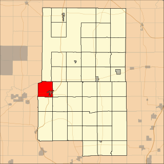
Aitkin Township is a township in Aitkin County, Minnesota, United States. The population was 918 as of the 2020 census. The 2021 population estimate is 934.
Balsam Township is a township in Aitkin County, Minnesota, United States. The population was 29 as of the 2020 census. The population in 2021 is estimated to be 29.

Farm Island Township is a township in Aitkin County, Minnesota, United States. The population was 1,099 as of the 2010 census.
Barclay Township is a township in Cass County, Minnesota, United States. As of the 2000 census, its population was 516. Barclay Township was named for an early settler.
Kego Township is a township in Cass County, Minnesota, United States. The population was 465 as of the 2000 census. Kego is a name derived from the Ojibwe language, meaning "fish".
Powers Township is a township in Cass County, Minnesota, United States. The population was 918 at the 2000 census. Powers Township was named for Gorham Powers, a Minnesota politician who owned land there.
Remer Township is a township in Cass County, Minnesota, United States. The population was 183 as of the 2000 census. Remer Township was named for two brothers, E. N. and William P. Remer.
Shingobee Township is a township in Cass County, Minnesota, United States. The population was 1,745 as of the 2000 census. This township took its name from the Shingobee River.

The Pigeon River forms part of the Canada–United States border between the state of Minnesota and the province of Ontario, west of Lake Superior. In pre-industrial times, the river was a waterway of great importance for transportation and the fur trade.

Eagle Mountain is the highest natural point in Minnesota, United States, at 2,301 feet (701 m). It is in northern Cook County in the Boundary Waters Canoe Area Wilderness and Superior National Forest in the Misquah Hills, northwest of Grand Marais. It is a Minnesota State Historic Site.

The Chippewa River is a 153-mile-long (246 km) tributary of the Minnesota River in western and southwestern Minnesota in the United States. Via the Minnesota River, it is part of the watershed of the Mississippi River.
Fairbanks is an unincorporated community in Fairbanks Township, Saint Louis County, Minnesota, United States; located within the Superior National Forest.
Central Lakes is an unincorporated community in Saint Louis County, Minnesota, United States.
Island Lake is an unincorporated community in Beltrami County, in the U.S. state of Minnesota.
Wall Lake is an unincorporated community in Otter Tail County, in the U.S. state of Minnesota.
