| Urucuia River | |
|---|---|
 | |
| Location | |
| Country | Brazil |
| Physical characteristics | |
| Source | |
| • location | Minas Gerais state |
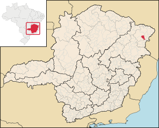
The Urucuia River is a river of Minas Gerais state in southeastern Brazil.
| Urucuia River | |
|---|---|
| | |
| Location | |
| Country | Brazil |
| Physical characteristics | |
| Source | |
| • location | Minas Gerais state |
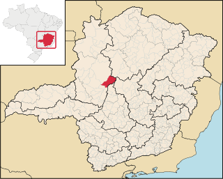
The Urucuia River is a river of Minas Gerais state in southeastern Brazil.

Abaeté is a municipality in the north of the Brazilian state of Minas Gerais. In 2020, the population was 23,250 in a total area of 1,816 square kilometers. It became a municipality in 1870.

Biquinhas is a municipality in the north of the Brazilian state of Minas Gerais. As of 2020, the population was 2,498 in a total area of 457 square kilometers. It became a municipality in 1962.

Córrego Danta is a town located in the state of Minas Gerais, Brazil.

Paineiras is a municipality in the midwest of the Brazilian state of Minas Gerais. As of 2020, the population was 4,462 in a total area of 638 km². It became a municipality in 1962.

Pompéu is a municipality in the north of the Brazilian state of Minas Gerais. As of 2020 the population was 32,035 in a total area of 2,557 km2. It became a municipality in 1938.
Felisburgo is a Brazilian municipality located in the northeast of the state of Minas Gerais.

Palmópolis is a municipality in the northeast of the Brazilian state of Minas Gerais. Its population in 2020 was 5,349 inhabitants in a total area of 436 km².

Itinga is a Brazilian municipality located in the northeast of the state of Minas Gerais. As of 2020 the population was 15,022 in a total area of 1,641 km².

Gameleiras is a municipality in the northeast of the Brazilian state of Minas Gerais. As of 2020 the population was 5,096 in a total area of 1,733 km². The elevation is 540 meters. It became a municipality in 1997. The postal code (CEP) is 39505-000.

Cônego Marinho is a municipality in the north of the state of Minas Gerais in Brazil. As of 2020 the population was 7,686 in an area of 1,618 km².

Urucuia is a municipality in the north of the state of Minas Gerais in Brazil. As of 2020 the population was 17,173 in an area of 2,072 km2 (800 sq mi). The elevation of the municipal seat is 498 meters. It became a municipality in 1993. The postal code (CEP) is 39315-000 and it belongs to the statistical microregion of Januária
São Gonçalo do Abaeté is a municipality in the north of the Brazilian state of Minas Gerais. Its population in 2020 was 8,459 inhabitants in a total area of 2,687 km². It is a large producer of cattle and grains.

Jequitaí is a Brazilian municipality located in the north of the state of Minas Gerais. In 2020 the population was 7,468 in a total area of 1,268 km2. It became a municipality in 1948.
São Romão is a Brazilian municipality located in the north of the state of Minas Gerais. In 2020 the population was 12,529 in a total area of 2,432 km². It became a municipality in 1943.

Santa Fé de Minas is a Brazilian municipality located in the north of the state of Minas Gerais. In 2020 the population was 3,826 in a total area of 2,916 km². It became a municipality in 1962.

Ponto Chique is a municipality in the north of the Brazilian state of Minas Gerais. As of 2020 the population was 4,283 in a total area of 602 km2. It became a municipality in 1997.

Tiros is a Brazilian municipality located in the northwest of the state of Minas Gerais. Its population as of 2020 was 6,424 people living in a total area of 2,093 km². The city belongs to the mesoregion of Triângulo Mineiro e Alto Paranaiba and to the microregion of Patos de Minas. It became a municipality in 1924.

Datas is a Brazilian municipality in the north-center of the state of Minas Gerais. Its population as of 2020 was 5,421 living in a total area of 309 km2. The city belongs to the statistical mesoregion of Jequitinhonha and to the statistical microregion of Diamantina. It became a municipality in 1962.

Iguatama is a Brazilian municipality located in the west of the state of Minas Gerais. Its population as of 2020 was 7,923 people living in a total area of 627 km². The city belongs to the meso-region of Oeste de Minas and to the micro-region of Piumhi. It became a municipality in 1944.
Candeias is a municipality in the state of Minas Gerais in the Southeast region of Brazil.
| General | |
|---|---|
| National libraries | |
Coordinates: 16°07′27″S45°04′56″W / 16.12417°S 45.08222°W