Related Research Articles

U.S. Route 163 is a 64-mile (103 km) U.S. Highway that runs from US 160 northward to US 191 in the U.S. states of Arizona and Utah. The southernmost 44 miles (71 km) of its length are within the Navajo Nation. The highway forms part of the Trail of the Ancients, a National Scenic Byway. The highway cuts through the heart of Monument Valley and has been featured in numerous movies and commercials.
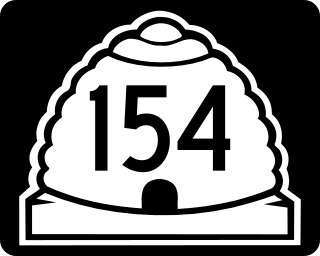
State Route 154 (SR-154) or Bangerter Highway is a partial expressway running west and then north from Draper through western Salt Lake County, eventually reaching the Salt Lake City International Airport in Salt Lake City. Construction began in 1988 after planning for the highway began more than two decades prior. For the next ten years, portions of the highway opened as constructed, with the entire route finished by 1998.
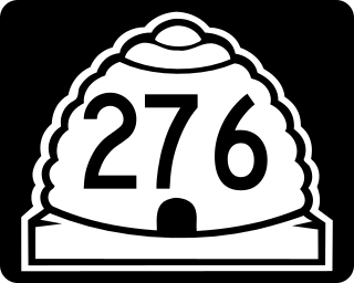
State Route 276 is a state highway in remote portions of San Juan County, eastern Garfield County, and Kane County, in the southeast of the U.S. state of Utah. The route is used as an access to Lake Powell, serving the small resort towns of Ticaboo and Bullfrog. Historically, SR-276 crossed Lake Powell via the Charles Hall Ferry, the only auto ferry in the state of Utah; however, the ferry is currently out of service due to low water levels. The entire route is part of the Trail of the Ancients National Scenic Byway. Lake Powell separates the route into two sections; the eastern section was numbered State Route 263 prior to the existence of the ferry.
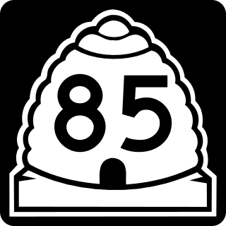
The Mountain View Corridor is a freeway under construction in northern Utah that will run along the western periphery of Salt Lake County and south into northwest Utah County. Except for the last several miles on its southern end the Mountain View Corridor is numerically designated as State Route 85 (SR-85) in the Utah state highway system. The entire Mountain View Corridor is maintained by the Utah Department of Transportation (UDOT).

State Route 8 (SR-8) is a short east-west state highway in the southwestern portion of the U.S. state of Utah, running entirely within the west side of the city of St. George. The route connects SR-18 to Dixie Downs Road via Sunset Boulevard in a span of 1.3 miles (2.09 km). Prior to 1999, SR-8 extended north to Snow Canyon State Park. However, the route was truncated to its current point that year.

Interstate 80 Business is an unofficial business loop of Interstate 80 (I-80) that is 2.26 miles (3.64 km) long and serves as the main street for the US cities of West Wendover, Nevada, and Wendover, Utah, along a roadway named Wendover Boulevard. Wendover Boulevard was originally part of US Route 40 (US 40), which connected California to New Jersey via Nevada and Utah. A portion of the Nevada segment runs concurrently with US 93 Alternate, and the entire portion in Utah is coterminous with State Route 58 (SR-58). The Nevada Department of Transportation (NDOT) applied for the business loop designation in the early 1980s, but the designation has never been approved; nevertheless, signs are posted in both states. Between July 1976 and 1993, I-80 Bus was concurrent with State Route 224 (SR 224) in Nevada.

State Route 265 is a west–east thoroughfare completely within Utah County in northern Utah that cuts through Orem and Provo. Utah Valley University and Brigham Young University are in close proximity to SR-265. The entirety of the route is named University Parkway.

Interstate 15 (I-15) runs north–south in the U.S. state of Utah through the southwestern and central portions of the state, passing through most of the state's population centers, including St. George and those comprising the Wasatch Front: Provo–Orem, Salt Lake City, and Ogden–Clearfield. It is Utah's primary and only north–south interstate highway, as the vast majority of the state's population lives along its corridor; the Logan metropolitan area is the state's only Metropolitan Statistical Area through which I-15 does not pass. In 1998, the Utah State Legislature designated Utah's entire portion of the road as the Veterans Memorial Highway.
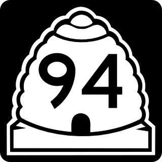
State Route 94 (SR-94), located entirely within Grand County, is a 0.958-mile-long (1.542 km) minor collector state highway in the U.S. state of Utah. The highway serves as a spur route into Thompson Springs. The highway was formed in 1969, at the same time Interstate 70 (I-70) was constructed through the area.

Legacy Parkway is an 11.5-mile-long (18.5 km) four-lane controlled-access parkway located almost completely within Davis County in the northern part of the U.S. state of Utah. The parkway travels north from Interstate 215 (I-215) in northwestern Salt Lake City to an interchange named the Wasatch Weave in Farmington with two intermediate interchanges providing access to Woods Cross and Centerville. Wetlands of the nearby Great Salt Lake and nature preserves border the western side of the parkway while the eastern side roughly parallels Union Pacific and Utah Transit Authority rail lines and I-15. On average, between 20,000 and 23,000 vehicles use the parkway daily.
The Utah Department of Transportation (UDOT) is an agency of the state government of Utah, United States; it is usually referred to by its initials UDOT. UDOT is responsible for approximately 5,900 miles of state highways in Utah. UDOT's purview extends to other transportation sectors including:

State Route 14 (SR-14) is a state highway in southern Utah, running for 40.995 miles (65.975 km) in Iron and Kane Counties from Cedar City to Long Valley Junction. The highway has been designated the Markagaunt High Plateau Scenic Byway as part of the Utah Scenic Byways program.
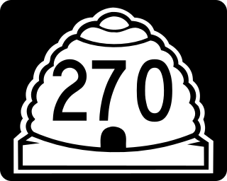
State Route 270 is a short north–south thoroughfare that sits completely within Salt Lake City in Salt Lake County, entirely along South West Temple Street. The southern terminus is at West 900 South, with ramps to and from I-15/I-80 at exit 305D; its northern terminus is at US-89.

State Route 7 (SR-7), also known as Southern Parkway, is a 26.1-mile (42.0 km) east-west state highway in southern Washington County in the extreme southwestern portion of the US state of Utah. It connects the southern periphery of St. George with Hurricane, while providing access to the St. George Regional Airport.

State Route 103 (SR-103) is a 0.225-mile-long (362 m) urban minor arterial state highway in the U.S. state of Utah. It branches off from SR-126 in downtown Clearfield and extends east to Interstate 15 (I-15), with the roadway continuing to the Falcon Hill National Aerospace Research Park, just outside Hill Air Force Base. The entire route is located in Davis County and was formed in 1965 coinciding with the construction of I-15.
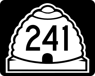
State Route 241 is a state highway completely within Utah County in northern Utah, in the cities of Orem and Lindon. The route connects SR-114 to US-89 via an interchange at I-15.

The West Davis Corridor is a 16-mile-long (26 km) freeway completely within Davis County in northern Utah. The corridor splits off from Interstate 15 (I-15) and U.S. Route 89 (US-89) along with the Legacy Parkway (SR-67) in Farmington and goes through the western confines of the Ogden–Clearfield metropolitan area before ending at an T-intersection with SR-193 in West Point.
References
- ↑ "Prioritization Process". Utah Department of Transportation. Retrieved 17 December 2024.
- ↑ §72-1-3 Transportation Commission (Code). Utah Legislature.
- ↑ "Commissioner Contact and Biographical Information". Utah Department of Transportation. Retrieved 17 December 2024.
- ↑ "Regional Offices". Utah Department of Transportation. Retrieved 17 December 2024.
- ↑ "Transportation Commission". Utah Department of Transportation. Retrieved 17 December 2024.
| | This Utah-related article is a stub. You can help Wikipedia by expanding it. |