Related Research Articles
Cutler is an unincorporated community in southwestern Fairfield Township, Washington County, Ohio, United States. It has a post office with the ZIP code 45724. It lies at the intersection of State Route 555 and County Road 59 near Gilbert Run, a subsidiary of the Little Hocking River, which meets the Ohio River at Little Hocking to the southeast.
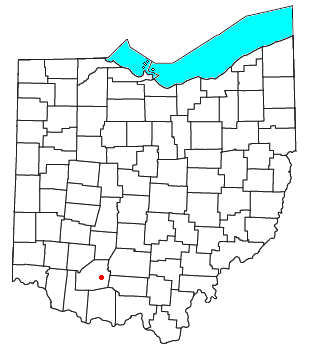
Marshall is an unincorporated community in central Marshall Township, Highland County, Ohio, United States. It lies at the intersection of State Routes 124 and 506. Rocky Fork Lake, the site of Rocky Fork State Park, is located 2 miles (3 km) to the north. It lies 7 miles (11 km) east-southeast of the city of Hillsboro, the county seat of Highland County. An early variant name was West Liberty.

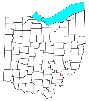
Harriettsville is an unincorporated community in western Elk Township, Noble County, Ohio, United States. It lies along State Route 145 at its intersection with County Road 46. The East Fork of Duck Creek, a subsidiary of the Ohio River that meets the river near Marietta, runs along State Route 145 past the community. It lies 8 miles (13 km) northeast of Lower Salem by road, and 13 miles (21 km) directly southeast of Caldwell, the county seat of Noble County.

Dungannon is an unincorporated community in Noble County, Ohio, United States.
Carlisle is an unincorporated community in Noble County, in the U.S. state of Ohio.
Dudley is an unincorporated community in Noble County, in the U.S. state of Ohio.
Elk is an unincorporated community in Noble County, in the U.S. state of Ohio.

Hiramsburg is an unincorporated community in Noble County, in the U.S. state of Ohio.
Hoskinsville is an unincorporated community in Noble County, in the U.S. state of Ohio.
Middleburg is an unincorporated community in Noble County, in the U.S. state of Ohio.
Moundsville is an unincorporated community in Noble County, in the U.S. state of Ohio.
South Olive is an unincorporated community in Noble County, in the U.S. state of Ohio.
Olive Green is an unincorporated community in Noble County, in the U.S. state of Ohio.
Reasoners Run is a stream in the U.S. state of Ohio. It is a tributary of Olive Green Creek in Morgan County.
Whiskey Run is a stream in Beaver Township, Noble County of Ohio. It flows along Whiskey Run Road east of Batesville.
Opossum Run is a stream in the U.S. state of Ohio.
Rochester is an unincorporated community in Noble County, in the U.S. state of Ohio.

Sharon is an unincorporated community in Noble County, in the U.S. state of Ohio.
Salt Run is a stream in Noble County, Ohio.
West Lebanon is an unincorporated community in Wayne County, in the U.S. state of Ohio.
References
- ↑ U.S. Geological Survey Geographic Names Information System: Warren Run
- ↑ History of Noble County, Ohio. L. H. Watkins. 1887. p. 319.
39°40′3″N81°29′6″W / 39.66750°N 81.48500°W
| | This Noble County, Ohio state location article is a stub. You can help Wikipedia by expanding it. |
| | This article related to a river in Ohio is a stub. You can help Wikipedia by expanding it. |