
U.S. Route 22 (US 22) is a major west–east route and one of the original United States Numbered Highways, founded in 1926. It runs from Cincinnati, Ohio, at US 27, US 42, US 127, and US 52 to Newark, New Jersey, at US 1/9 at the Newark Airport Interchange.
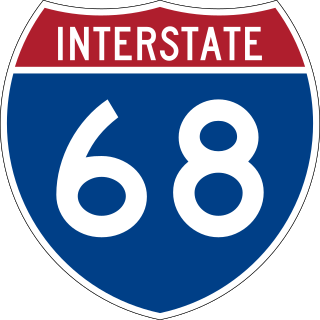
Interstate 68 (I-68) is a 113.15-mile (182.10 km) Interstate Highway in the U.S. states of West Virginia and Maryland, connecting I-79 in Morgantown, West Virginia, east to I-70 in Hancock, Maryland. I-68 is also Corridor E of the Appalachian Development Highway System (ADHS). From 1965 until the freeway's construction was completed in 1991, it was designated as U.S. Route 48 (US 48). In Maryland, the highway is known as the National Freeway, an homage to the historic National Road, which I-68 parallels between Keysers Ridge and Hancock. The freeway mainly spans rural areas and crosses numerous mountain ridges along its route. A road cut at Sideling Hill exposed geological features of the mountain and has become a tourist attraction.

U.S. Route 11 or U.S. Highway 11 (US 11) is a major north–south United States Numbered Highway extending 1,645 miles (2,647 km) across the eastern U.S. The southern terminus of the route is at US 90 in Bayou Sauvage National Wildlife Refuge in eastern New Orleans, Louisiana. The northern terminus is at the Rouses Point–Lacolle 223 Border Crossing in Rouses Point, New York. The route continues across the border into Canada as Route 223. US 11, created in 1926, maintains most of its original route. The route north of Knoxville, Tennessee, follows a route similar to Interstate 81 (I-81). While it is signed as a north–south route, it physically travels in a northeast–southwest direction.
Montauk Highway is an east–west road extending for 95 miles (153 km) across the southern shore of Long Island in Suffolk County, New York, in the United States. It extends from the Nassau County line in Amityville, where it connects to Merrick Road, to Montauk Point State Park at the very eastern end of Long Island in Montauk. The highway is known by several designations along its routing, primarily New York State Route 27A (NY 27A) from the county line to Oakdale and NY 27 east of Southampton. The portion of Montauk Highway between Oakdale and Southampton is mostly county-maintained as County Route 80 and County Route 85.
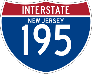
Interstate 195 (I-195) is an auxiliary route of the Interstate Highway System located in the US state of New Jersey. Its western end is at I-295 and Route 29 just south of Trenton in Hamilton Township, Mercer County, while its eastern end is at the Garden State Parkway, Route 138, and Route 34 in Wall Township, Monmouth County. I-195 is 34.17 miles (54.99 km) in length. The route is mostly a four-lane highway that mainly runs through agrarian and wooded areas in Central Jersey. It has an interchange with the New Jersey Turnpike (I-95) in Robbinsville Township and serves as a main access road to New Jersey's state capital of Trenton, the Horse Park of New Jersey, the Six Flags Great Adventure amusement park, and the Jersey Shore. I-195 is occasionally referred to as the Central Jersey Expressway. On April 6, 1988, President Ronald Reagan signed H.R. 4263 naming I-195 in New Jersey the James J. Howard Interstate Highway, in honor of the late James J. Howard.
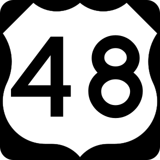
U.S. Route 48 (US 48), also known as the incomplete Corridor H of the Appalachian Development Highway System, extends from Interstate 79 (I-79) in Weston, West Virginia, eastward across the crest of the Allegheny Mountains to I-81 in Strasburg, Virginia. It is planned to extend 157 miles (253 km) from northwestern Virginia to central West Virginia.
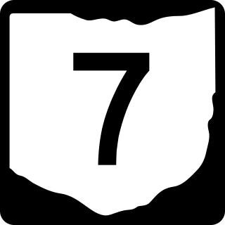
State Route 7 (SR 7), formerly known as Inter-county Highway 7 until 1921 and State Highway 7 in 1922, is a north–south state highway in the southern and eastern portions of the U.S. state of Ohio. At about 336 miles (541 km) in length, it is the longest state route in Ohio. Its southern terminus is an interchange with U.S. Route 52 (US 52) just west of Chesapeake. Its northern terminus also serves as the eastern terminus of SR 531 in Conneaut. The path of SR 7 stays within five miles (8.0 km) of the Ohio River for the southern portion, with the river being visible from much of the route. The road also remains within 10 miles (16 km) of the Pennsylvania state line for the northern portion.
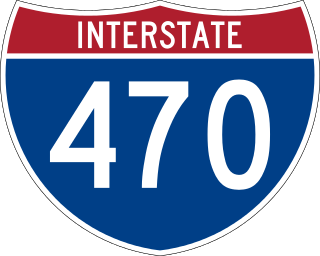
Interstate 470 (I-470) is a 10.63-mile-long (17.11 km) auxiliary Interstate Highway of I-70 that bypasses the city of Wheeling, West Virginia, United States. I-470 is one of 13 auxiliary Interstate Highways in Ohio and the only auxiliary Interstate Highway in West Virginia. The western terminus of I-470 is an interchange with I-70 in Richland Township, Ohio. Traveling southeast through rural Belmont County, I-470 approaches the Vietnam Veterans Memorial Bridge, which spans the Ohio River. After crossing the river into Ohio County, West Virginia, the highway continues east toward the Wheeling communities of Bethlehem and Elm Grove and its eastern terminus at I-70 near Elm Grove. The portion of the highway in West Virginia is named the USS West Virginia Memorial Highway by proclamation of then-Governor Cecil H. Underwood on the 59th anniversary of the attack on Pearl Harbor.
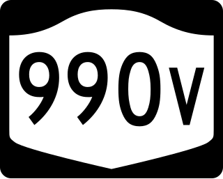
New York State Route 990V (NY 990V) is an east–west reference route in Schoharie County, New York, in the United States. It extends for 6.15 miles (9.90 km) from an intersection with NY 30 in the town of Gilboa to a junction with County Route 18 (CR 18) in the town of Conesville, where the road continues east as CR 3. Reference routes in New York are typically unsigned; however, NY 990V is fully signed with touring route markers. The road is a remnant of New York State Route 342, a route assigned as part of the 1930 renumbering of state highways in New York. The NY 342 designation was removed in the late 1940s; however, its former routing from Gilboa to Conesville remained a state highway and became NY 990V when the modern reference route system in New York was created.

New York State Route 353 (NY 353) is a north–south state highway located within Cattaraugus County, New York, in the United States. It extends for 23.97 miles (38.58 km) from an intersection with NY 417 in the city of Salamanca to a junction with U.S. Route 62 (US 62) in the hamlet of Dayton. In between, the route traverses isolated and undeveloped areas of the county, save for the villages of Little Valley and Cattaraugus. In the latter, NY 353 intersects and briefly overlaps with NY 242.

New York State Route 114 (NY 114) is a state highway, including two ferry crossings, on the far eastern sections of Long Island in New York in the United States. It serves as a connector between the two "forks" of Long Island, crossing Shelter Island in the process. This is the only connection between the North and South forks east of Riverhead. NY 114 is the easternmost signed north–south state route in all of New York. Additionally, the route is the last in a series of sequential state routes on Long Island. The series begins with NY 101 in western Nassau County and progresses eastward to NY 114.

State Route 271 is a primary state highway in the U.S. state of Virginia. Known as Pouncey Tract Road, the state highway runs 7.34 miles (11.81 km) from U.S. Route 250 in Short Pump north to SR 620 and SR 622 in Rockville. A small section of it was first added to the state highway system during 1930, and it gained its current routing and designation by 1940.

New York State Route 171 (NY 171) is a state highway running east to west through Herkimer County, New York, in the United States. It connects the hamlet of Gulph in the town of Frankfort to the village of Frankfort by way of the Frankfort Gorge. Its western end is at the junction of County Route 145 (CR 145) and CR 185 southeast of Gulph. The eastern end is 5.69 miles (9.16 km) to the east at an intersection with Main Street in Frankfort village. NY 171 is a narrow, two-lane highway for its whole length.

Interstate 81 (I-81) in the US state of West Virginia crosses the Eastern Panhandle region, linking Virginia to Maryland. The Interstate Highway, completed in 1966, spans 26 miles (42 km) through Berkeley County, paralleling U.S. Route 11 (US 11) for its entire length. I-81 enters the state near Ridgeway, travels northeast, bypassing the city of Martinsburg, and leaves the state at the Potomac River, which serves as the state line. The first solicitations for the construction of I-81 were published in 1959, with the first six miles (9.7 km) of freeway being opened in 1963, and the full length was completed by 1966. On average, between 45,000 and 60,000 vehicles use the freeway through the panhandle per day.

A total of at least 31 special routes of U.S. Route 17 (US 17) exist: 3 in Florida, 5 in South Carolina, 17 in North Carolina, and 6 in Virginia.

Several special routes of U.S. Route 19 (US 19) exist. In order from south to north, they are as follows.
County roads in Ohio comprise 29,088 center line miles (46,813 km), making up 24% of the state's public roadways as of April 2015. Ohio state law delegates the maintenance and designation of these county roads to the boards of commissioners and highway departments of its 88 counties. Each county has distinct construction, signage, and naming practices for the roads under its jurisdiction. Within each county, townships maintain separate township road networks under the advice of the county engineer. Each board of county commissioners certifies the total county- and township-maintained mileage within its county. The Ohio Department of Transportation catalogues these certifications on an annual basis.

