County Galway is a county in Ireland. It is in the Northern and Western Region, taking up the south of the province of Connacht. The county population was 276,451 at the 2022 census.
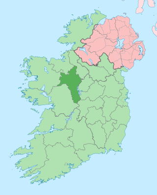
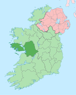
County Roscommon is a county in Ireland. It is part of the province of Connacht and the Northern and Western Region. It is the 11th largest Irish county by area and 27th most populous. Its county town and largest town is Roscommon. Roscommon County Council is the local authority for the county. The population of the county was 69,995 as of the 2022 census.

The River Suck is a river within the Shannon River Basin in Ireland, 133 km (82.5 mi) in length. It is the main tributary of the River Shannon. It meets the Shannon a kilometre south of the village of Shannonbridge.

Creggs is a small village and townland in County Galway, Ireland. It is on the border with County Roscommon, on the R362 regional road between Glenamaddy and Roscommon town.
Kiltormer is a village about 8 miles from Ballinasloe and situated in county Galway.

Tulrush is a small townland on the River Suck near Ballinasloe, Ireland. It is approximately 0.84 square kilometres (0.32 sq mi) in area and located in the historical barony of Moycarn in County Roscommon. As of the 2011 census, Tulrush townland had a population of 16 people.

The Diocese of Clonfert is a Roman Catholic diocese in the western part of Ireland. It is in the Metropolitan Province of Tuam.

Taghmaconnell or Taughmaconnell is a small village in County Roscommon, Ireland. It lies between Athlone and Ballinasloe. It is also the name of the parish in which the village lies.

Castleplunket, also spelled Castleplunkett, is a small village in County Roscommon, Ireland, situated at the junction of the R367 and R377 roads, some 10 km east of the town of Castlerea.

Costello is one of the ancient baronies of Ireland. Unusually for an Irish barony, it straddles two counties: County Mayo and County Roscommon. It comprises the modern day districts of Kilkelly, Kilmovee, Killeagh, Kilcolman, and Castlemore.
Kilkerrin is a village in County Galway, Ireland. It is situated on the R364 regional road 6 km south of the town of Glenamaddy. Features in the area include Kiltullagh Lake and the Lough Lurgeen raised bog.
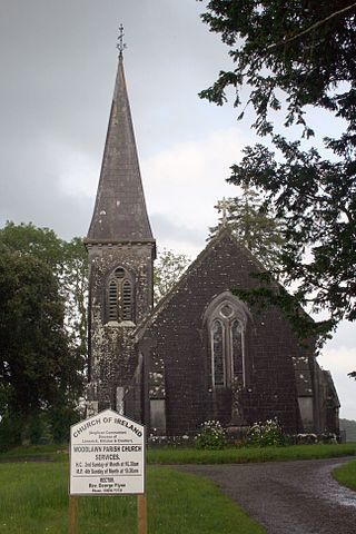
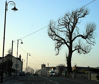
Woodlawn, historically known as Mota or Moote, is a settled area in County Galway, Ireland.
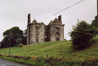
Glinsk is a small village in County Galway, Ireland, between Creggs and Ballymoe. Glinsk is located approximately 68 km from Galway city and approximately 30 km from Roscommon. It is located in valley of the River Suck, which has a 60-mile hiking trail. Nearby is the Glinsk Castle ruin, built by Ulick Burke in the early 17th century. Also in the area is the ruins of Ballynakill Abbey, which dates from the early 13th century. See Burke Baronets.

The Boyle River is a river in Ireland. Forming part of the Shannon River Basin, it flows from Lough Gara on the Sligo/Roscommon border and thence through the town of Boyle to Lough Key. From there is continues eastwards through the village of Knockvicar to the River Shannon at Lough Drumharlow, near Carrick-on-Shannon. The length of the Boyle River is 64.4 km (40mi). The area of the Boyle river basin is 725 km2
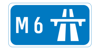
The M6 motorway is a motorway in Ireland, which runs from Dublin to Galway. The M6 extends from its junction with the M4 at Kinnegad all the way west to the outskirts of Galway City, but the Athlone bypass and the approach to Galway city - while of dual carriageway standard - have not been designated motorway and are still signed as N6. The motorway was officially completed and opened to traffic on 18 December 2009, and was the first city-to-city direct major inter-urban route to be completed in Ireland. The M6 and M4, which form the Galway-Dublin route, consist of a grade-separated 2+2 dual carriageway road with a top speed limit of 120 km/h. At approximately 144 km (90 mi), the M6 is the third longest motorway in the state and will be 159 km.
Ballymacward is a village in County Galway, Ireland, on the R359 regional road between the main road and rail networks which traverse east-west, 24 kilometres from Ballinasloe and approximately 48 kilometres from Galway City. It was once part of the kingdom of the Soghain of Connacht.
Roscommon Racecourse is a horse racing venue located in Roscommon, County Roscommon, Ireland, approximately 76 km north east of Galway and 136 km west of Dublin.

The R368 road is a regional road in Ireland, located in County Roscommon.

Kiltoom, also Kiltomb, is a civil parish as well as an electoral division in County Roscommon, Ireland. There is also an eponymous townland in the parish. Kiltoom is located northwest of Athlone on the southwestern shore of Lough Ree.
Ardscoil Mhuire is an Irish voluntary Catholic single-sex girls' secondary school situated in Mackney, near Ballinasloe in County Galway. It is under the trusteeship of Catholic Education an Irish Schools Trust (CEIST).