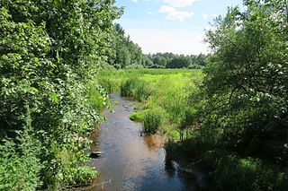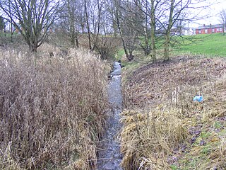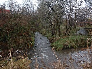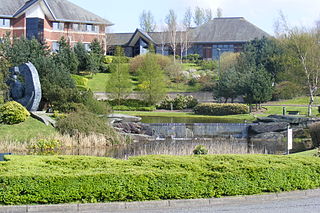
The River Roch is a river in Greater Manchester in North West England, a tributary of the River Irwell.

Heywood is a town in the Metropolitan Borough of Rochdale, Greater Manchester, England, in the historic county of Lancashire. It had a population of 28,205 at the 2011 Census. The town lies on the south bank of the River Roch, 2 miles (3.2 km) east of Bury, 4 miles (6.4 km) southwest of Rochdale, and 8 miles (12.9 km) north of Manchester. Middleton lies to the south, whilst to the north is the Cheesden Valley, open moorland, and the Pennines. Heywood's nickname is Monkey Town.

The Jones River is a 7.5-mile-long (12.1 km) river running through Kingston, Massachusetts. The river drains about 30 square miles (78 km2), has its source in Silver Lake and drains into Kingston Bay. Land surrounding the river is 52% forested, of which 22% has been developed for residential use. There is a USGS stream gauge along 16 square miles (41 km2) of the river and it has measured the flow at 0.7 cubic feet per second (0.020 m3/s) per square mile of drainage area.

The River Spodden is a watercourse in North West England, one of two major tributaries of the River Roch. It rises in the Lancashire South Pennine hills north of Whitworth and flows south through what is now known as the Whitworth Valley to Rochdale, Greater Manchester, where the river merges with the River Roch. Nestled within the picturesque wooded valley is Healey Dell Nature Reserve.

The Beal is a small river in Greater Manchester, England, and is a tributary of the River Roch. It rises in the Beal Valley in green space between Sholver and Royton, before continuing northwards through Shaw and Crompton, Newhey, Milnrow and Belfield.

Quinny Brook is a tributary stream of the River Onny which flows through the Shropshire Hills Area of Outstanding Natural Beauty in England.

The Cheesden Valley is a valley in the Heywood area of Greater Manchester, England. It runs on a north–south alignment between Bury and Rochdale in the Metropolitan Borough of Rochdale. Cheesden Brook runs through the valley, joining with Naden Brook to eventually run into the River Roch near Heywood. During the industrial age the valley became a centre of cotton production dependent on running water. The valley is now a conservation area.

Naden Brook is a watercourse in northwest England. It rises in the hills above Norden, near the boundary of Lancashire and Greater Manchester. From here it flows south to Heywood, where it merges with the River Roch.

Wekepeke is the name of an aquifer and brook in Sterling, Massachusetts, United States. The aquifer has a land surface area of 11.5 square miles (30 km2).

Ealees Brook is a water course in Greater Manchester named after the Ealees area of Littleborough. It flows northwards from the Ealees Valley to the River Roch in Littleborough.

Darnhill is an area of Heywood, a town within the Metropolitan Borough of Rochdale, in Greater Manchester, England. In the 20th century, Darnhill was chosen as the location for a planned overspill housing estate for Manchester, to allievate quality housing shortages in that city. The Darnhill council estate is no longer overseen by Manchester City Council, but by the Guinness Trust Housing Association.

Stanney Brook is a watercourse in Greater Manchester, England. It originates in the Burnedge area of Shaw and Crompton, and flows through Milnrow into Rochdale before joining the River Roch at Newbold Brow. Alone among the watercourses of Milnrow and Newhey, it does not pass through the centre of either village, and flows directly into the River Roch, rather than first into the River Beal. Its name derives from the Lancashire dialect word "stanner", a ridge of stones. It is also unusual in that the borough in which it rises, changes, depending on the wetness of surrounding moorland. The brook drops 100 metres in a little over 5.5 kilometres, or 330feet in 3.5 miles. It is culverted four times, generally is only 60 cm (2 ft) wide, and rarely exceeds 90 cm (3 ft) in width at any point.

Millers Brook is a watercourse in Greater Manchester and tributary of the River Roch. It originates in Heywood and flows through Queens Park to join the River Roch.

Hey Brook is a watercourse in Rochdale, Greater Manchester and a tributary of the River Roch. It originates at the confluence of Buckley Brook and Syke Brook, and flows through Wardleworth to the River Roch.
Moss Brook is a watercourse in Rochdale, Greater Manchester and a tributary of the River Roch. It originates in Newbold, and flows Northwards to join the River Roch. The majority of the brook is now culverted.

Sudden Brook is a watercourse in Greater Manchester and a tributary of the River Roch. It originates in to the north of Royton, Oldham and flows Northwards through Kirkholt and Sandbrook Park to join the River Roch at Sudden.
Parr Brook is a watercourse in Greater Manchester and a tributary of the River Roch. It originates in Unsworth and flows through Bury Golf Club before joining the River Roch at Blackford Bridge.
The Fitzroy River, a perennial river of the Glenelg Hopkins catchment, is located in the Western District of Victoria, Australia.
The Shields Branch is a tributary of the Big Black River), flowing in:

Whittle Brook is a watercourse in Greater Manchester and a tributary of the River Roch, classified as a main river. It originates in the outskirts of Middleton, and extends to Hollins Vale Nature Reserve in Unsworth, flowing South East to North West. The brook runs through predominantly agricultural lands, and several woodland blocks are maintained along its course, which together make up Unsworth Moss. Whittle Brook forms part of the habitat for farmland birds as well as great crested newt and barn owl.


