
U.S. Route 212 (US 212) is a spur of US 12. It runs for 949 miles (1,527 km) from Yellowstone National Park to Minnesota Highway 62 at Edina, Minnesota. It does not intersect US 12 now, but it once had an eastern terminus at US 12 in St. Paul, Minnesota. US 212 passes through the states of Minnesota, South Dakota, Wyoming, and Montana. It goes through the cities of Watertown, South Dakota and Billings, Montana.

Interstate 25 (I-25) is a part of the Interstate Highway System that runs from Las Cruces, New Mexico, to Buffalo, Wyoming. In Wyoming, the Interstate Highway runs 300.530 miles (483.656 km) from the Colorado state line near Cheyenne north to its national terminus at I-90 near Buffalo. I-25 connects Wyoming's largest city and capital, Cheyenne, with its second largest city, Casper, and the smaller communities of Wheatland, Douglas, and Buffalo. The highway also connects those cities with Denver and Billings via I-90. I-25 runs concurrently with U.S. Route 87 (US 87) for almost its entire course in Wyoming. The highway also has extensive concurrencies with US 20 and US 26 along its east–west segment through the North Platte River valley. The Interstate has business loops through Cheyenne, Chugwater, Wheatland, Douglas, Glenrock, Casper, and Buffalo.
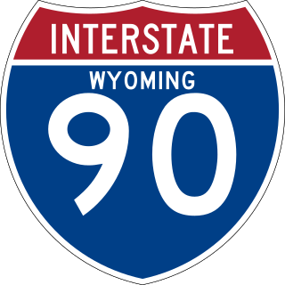
Interstate 90 (I-90) in the US state of Wyoming traverses the northeastern corner of the state, passing through the cities and communities of Sheridan, Buffalo, and Gillette.

Highway 59 (MT 59) is a 195.389-mile (314.448 km) state highway in Montana, United States, that connects Wyoming Highway 59 in Wyoming with Montana Highway 200 (MT 200) near the south end of the town of Jordan. WYO 59 continues south 57 miles (92 km) to the city of Gillette. The landscape traversed by MT 59 is mostly hilly and arid, largely used for open-range grazing; the only major commercial areas are the towns of Broadus and Miles City.

Wyoming Highway 333 was a Wyoming state highway known as Airport Road. WYO 333 served as a connector between Wyoming Highway 332 and the Sheridan County Airport. Mileposts for Route 333 increased from east to west as the route entered the airport. In total it was only 0.75 miles (1.21 km) long.

Wyoming Highway 59 is a 171.72-mile-long (276.36 km) north–south state highway that runs from Douglas to the Montana–Wyoming state line, where the roadway continues as Montana Highway 59 (BT 59).
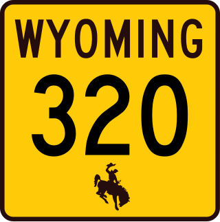
Wyoming Highway 320 (WYO 320) is a 12.33-mile-long (19.84 km) north–south state highway in central Platte County, Wyoming that connects Interstate 25 Business and U.S. Route 87 Business in Wheatland to US 26 in Dwyer, and was once part of the Yellowstone Highway.

Wyoming Highway 95 is an overall east–west Wyoming State Road located in central Converse County and serves the towns of Glenrock, Rolling Hills, and areas northeast of those communities.

Interstate 90 Business may refer to several business routes of the Interstate Highway System that connects Interstate 90 with the central business district of various cities bypassed by I-90. Each business route can be either a business loop or a business spur, depending on whether both ends connect to I-90. The business route in each community is considered a unique route. In many cases, these routes are a former section of a U.S. Route.
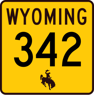
Wyoming Highway 342 (WYO 342) is a 1.14-mile-long (1.83 km) east-west Wyoming State Road in south-central Sheridan County.

Wyoming Highway 332 (WYO 332) is a 5.44-mile (8.75 km) north-south state highway in central Sheridan County, Wyoming United States, that connects U.S. Route 87 (US 87) and Wyoming Highway 335 (WYO 335), south of Sheridan, with Interstate 90 Business Loop I-90 BL)/U.S. Route 14 (US 14)/US 87 in Sheridan.

Wyoming Highway 335 (WYO 335) is a 9.71-mile-long (15.63 km) roughly north–south Wyoming State Road located in central Sheridan County south of the city of Sheridan.

Wyoming Highway 336 (WYO 336) is a 11.52-mile-long (18.54 km) east-west Wyoming State Road located in central Sheridan County that serves Sheridan and areas east thereof.

Wyoming Highway 337 (WYO 337), also known as Fort Road, is a 1.54-mile (2.48 km) east-west state highway in Sheridan County, Wyoming, United States, that connects the Sheridan Veterans Administration Medical Center with Interstate 90 Business Loop/U.S. Route 14/U.S. Route 87 in Sheridan.

Wyoming Highway 338 (WYO 338) is a 15.03-mile-long (24.19 km) north-south Wyoming State Road located in north-central Sheridan County.

Wyoming Highway 339 (WYO 339) is a short 1.02-mile-long (1.64 km) east-west Wyoming State Road located in north-central Sheridan County.

Wyoming Highway 331 (WYO 331) is a 9.92-mile-long (15.96 km) east-west Wyoming State Road located in central Sheridan County and links Beckton with Sheridan.
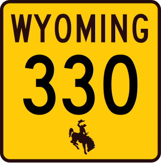
Wyoming Highway 330 (WYO 330) is a fairly short 3.30-mile (5.31 km) east-west state highway in central Sheridan County, Wyoming, United States, that serves the northwestern part of Sheridan.

Wyoming Highway 343 (WYO 343) is a 5.24-mile-long (8.43 km) north-south Wyoming State Road in northern Sheridan County that connects U.S. Route 14 and WYO 345.
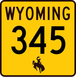
Wyoming Highway 345 (WYO 345) is a 19.27-mile-long (31.01 km) east–west Wyoming State Road located in northern Sheridan County.

