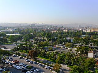
Yenimahalle is a municipality and metropolitan district of Ankara Province, Turkey. Its area is 219 km2, and its population is 704,652 (2022). It is a fast-growing urban residential district of the city of Ankara, Turkey's capital. Its elevation is 861 m (2,825 ft).

Akyurt, formerly Ravlı, is a municipality and district of Ankara Province, Turkey. Its area is 369 km2, and its population is 40,625 (2022). Its elevation is 1,084 m (3,556 ft).

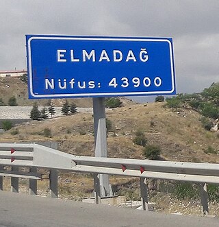
Elmadağ is a municipality and district of Ankara Province, Turkey. Its area is 647 km2, and its population is 44,379 (2022). Its average elevation is 1,135 m (3,724 ft), with the highest point being Mt. İdris at 1,995 m (6,545 ft).

Bala, formerly known as Balbadon, is a municipality and district of Ankara Province, Turkey. Its area is 1,851 km2, and its population is 20,521 (2022). It is 67 km south-east of the city of Ankara. Its elevation is 1,310 m (4,298 ft).

Ayaş is a municipality and district of Ankara Province, Turkey. Its area is 1,041 km2, and its population is 12,998 (2022). It is 58 km from the city of Ankara, and very rich for historical monuments. Its elevation is 910 m (2,986 ft).

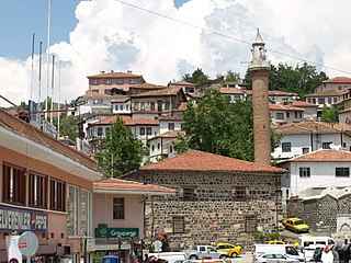
Beypazarı is a municipality and district of Ankara Province, Turkey. Its area is 1,697 km2, and its population is 48,357 (2022). It is approximately 100 km west of the city of Ankara. The elevation in the center is 675 m (2,215 ft). It used to be an important city in Asia Minor in ancient times.
Küçükyağcı is a neighbourhood in the municipality and district of Haymana, Ankara Province, Turkey. Its population is 53 (2022). Küçükyağcı is 126 kilometers away from the city center of Ankara, and 49 kilometers away from the district center of Haymana.
Tekirler is a neighbourhood in the municipality and district of Nallıhan, Ankara Province, Turkey. Its population is 138 (2022).
Eskikarsak is a neighbourhood in the municipality and district of Polatlı, Ankara Province, Turkey. Its population is 150 (2022). The village is populated by Kurds.
Hacımusa is a neighbourhood in the municipality and district of Polatlı, Ankara Province, Turkey. Its population is 177 (2022). The village is populated by Kurds.
Hacımuslu is a neighbourhood in the municipality and district of Polatlı, Ankara Province, Turkey. Its population is 141 (2022). The village is populated by Kurds.
Hacıosmanoğlu is a neighbourhood in the municipality and district of Polatlı, Ankara Province, Turkey. Its population is 169 (2022). The village is populated by Kurds.
Karapınar is a neighbourhood in the municipality and district of Polatlı, Ankara Province, Turkey. Its population is 400 (2022). The village is 4 km away from Polatlı town center and 69 km to Ankara.
Sabanca is a neighbourhood in the municipality and district of Polatlı, Ankara Province, Turkey. Its population is 77 (2022). The village is populated by Kurds.
Uzunbey is a neighbourhood in the municipality and district of Polatlı, Ankara Province, Turkey. Its population is 396 (2022). The village is populated by Kurds.
Yenimehmetli is a neighbourhood in the municipality and district of Polatlı, Ankara Province, Turkey. Its population is 218 (2022). The village is populated by Kurds.
Yüzükbaşı is a neighbourhood in the municipality and district of Polatlı, Ankara Province, Turkey. Its population is 197 (2022). The village is populated by Kurds.
Şıhahmetli is a neighbourhood in the municipality and district of Polatlı, Ankara Province, Turkey. Its population is 323 (2022). The village is populated by Kurds and Yörüks.

Çayyolu is a neighbourhood in the municipality and district of Çankaya, Ankara Province, Turkey. Its population is 6,695 (2022).
İnler is a neighbourhood in the municipality and district of Polatlı, Ankara Province, Turkey. Its population is 338 (2022). It is located 115 km from Ankara city and 45 km from Polatlı town. The village is populated by Kurds.


