This article needs additional citations for verification .(September 2014) |
Abbotsdale | |
|---|---|
 Abbotsdale  Abbotsdale | |
| Coordinates: 33°29′13″S18°40′33″E / 33.48694°S 18.67583°E | |
| Country | South Africa |
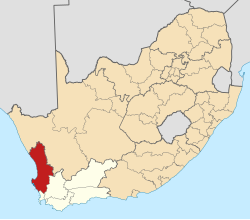
| Province | Western Cape |
| District | West Coast |
| Municipality | Swartland |
| Area | |
• Total | 8.70 km2 (3.36 sq mi) |
| Population (2011) [1] | |
• Total | 3,762 |
| • Density | 432/km2 (1,120/sq mi) |
| Racial makeup (2011) | |
| • Black African | 4.2% |
| • Coloured | 95.3% |
| • Indian/Asian | 0.2% |
| • White | 0.2% |
| • Other | 0.2% |
| First languages (2011) | |
| • Afrikaans | 92.8% |
| • English | 3.1% |
| • Xhosa | 2.7% |
| • Other | 1.4% |
| Time zone | UTC+2 (SAST) |
| Postal code (street) | 7300 |
Abbotsdale is a settlement in West Coast District Municipality Swartland Municipality in the Western Cape province of South Africa.
Here in around 1854 the Abbotsdale Mission was founded [2] on a 1600 acre farm purchased by Bishop Gray of the Anglican Church. [3]