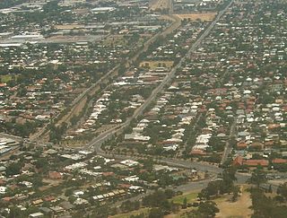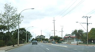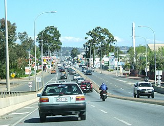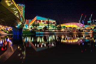
The City of Port Adelaide Enfield (PAE), located across inner north and north-western suburbs of Adelaide, is one of the largest metropolitan councils within South Australia. It was established on 26 March 1996 by the amalgamation of the City of Port Adelaide and the City of Enfield.
The Division of Adelaide is an Australian electoral division in South Australia and is named for the city of Adelaide, South Australia's capital.

The Town of Gawler is a local government area located north of Adelaide city centre in South Australia containing Gawler and its suburbs. The corporate town was established in 1857 due to the township's residents' dissatisfaction at being governed by three different district councils.

Prospect is the seat of the City of Prospect and an inner northern suburb of greater Adelaide. It is located 5 km (3.1 mi) north of Adelaide's centre.

Glen Osmond is a suburb of Adelaide, South Australia in the City of Burnside which is in the foothills of the Adelaide Hills. It is well known for the road intersection on the western side of the suburb, where the South Eastern Freeway from the Adelaide Hills and the main route from Melbourne splits into National Route A17 Portrush Road, Glen Osmond Road, Adelaide and state route A3 Cross Road west towards the coast and southern suburbs.

Hackney is an inner-eastern suburb of Adelaide, South Australia, in the City of Norwood Payneham St Peters. It is adjacent to the Adelaide Park Lands, the Adelaide city centre and North Adelaide. The O-Bahn Busway passes along Hackney Road, part of the City Ring Route, which forms its western boundary. Its other boundaries are the River Torrens (north), the continuation of North Terrace through Kent Town (south), and a series of small streets and lanes to the east.
Marden is a suburb of Adelaide, South Australia in the City of Norwood Payneham St Peters. The suburb is bordered by the River Torrens to the north, O.G. Rd to the east, Payneham Rd to the south and Battams Rd to the west.

Flagstaff Hill is a suburb in the City of Onkaparinga local government area. It is named after the hill by that name in the area, where Colonel William Light erected a flagstaff during his survey, which was then used as a trig point. Flagstaff Hill is a leafy suburb established around the Sturt Gorge Recreation Park, maintaining many parks and reserves throughout the suburb.

Northfield is a suburb of the greater Adelaide, South Australia area.

Edwardstown is an inner southern-western suburb located 6 km southwest of Adelaide in the City of Marion.
South Plympton is a suburb of Adelaide in the City of Marion.

Chinatown in Adelaide, South Australia, Australia, also called Adelaide Chinatown or Moonta Street Chinatown, is located on Moonta Street, within the large Adelaide Central Markets precinct between Grote and Gouger streets in the Adelaide city centre. Two large Paifang, which were erected by the city council, are guarded by the Chinese guardian lions. They mark the entrances at either end. Adelaide Chinatown consists mainly of Chinese restaurants, grocery stores and markets but also consists of many non-Chinese Asian restaurants offering cuisines of Indian, Japanese, Korean, Malaysian, Nepali, Thai and Vietnamese origins.

Holden Hill is a suburb in the inner north-eastern suburbs of Adelaide, the capital of South Australia. It is around 10 kilometres (6.2 mi) from the Adelaide central business district.

Walkley Heights is a suburb of Adelaide, South Australia. The suburb is located on land formerly comprising the prison farm for Yatala Labour Prison, and includes fifty-five hectares of land formerly owned by R. M. Williams which was compulsorily acquired during the time of former State Premier Sir Thomas Playford. The suburb is named after John Walkley, an early pioneer in South Australia

The Adelaide Convention Centre is a large convention centre on North Terrace, Adelaide, South Australia. It was the first purpose-built convention centre to be built in Australia.

Gouger Street is a major street in the centre of Adelaide, South Australia. It was named after Robert Gouger, the first Colonial Secretary of South Australia.

Halifax Street is a street in the south-eastern sector of the centre of Adelaide, South Australia. It runs east–west between East Terrace and King William Street, crossing Hutt Street and Pulteney Street and passing through Hurtle Square. It was named after Sir Charles Wood, British Member of Parliament for Halifax.
The University of Adelaide College is the preferred pathway provider to the University of Adelaide and offers programs that lead to the first or second year of undergraduate and postgraduate studies at the university. The College is located a short distance away from the University campus in the city centre of Adelaide, Australia, with students receiving a student card that grants them access to its facilities. Approximately 800 students are enrolled each year from Australia and abroad.
The Stockade railway station, the terminal station of the then Stockade railway line, was opened on 1 June 1857. It was built to service the colony's prisoner camp, and to transport bluestone mined by convicts to building projects in downtown Adelaide. After a century of service, it was closed in 1961, and the quarry area was later redeveloped as a park.

The Port Admiral Hotel is located on the corner of St Vincent Street and Commercial Road in the centre of Port Adelaide, South Australia.


