
U.S. Route 98 is an east–west United States Highway in the Southeastern United States that runs from western Mississippi to southern Florida. It was established in 1933 as a route between Pensacola and Apalachicola, Florida, and has since been extended westward into Mississippi and eastward across the Florida Peninsula. It runs along much of the Gulf Coast between Mobile, Alabama, and Crystal River, Florida, including extensive sections closely following the coast between Mobile and St. Marks, Florida. The highway's western terminus is with US 84 in Bude, Mississippi. Its eastern terminus is Palm Beach, Florida, at State Road A1A (SR A1A) near the Mar-a-Lago resort.

U.S. Route 231 (US 231) is a north–south U.S highway that is a parallel route of US 31. It runs for 912 miles (1,468 km) from St. John, Indiana, at US 41 to south of US 98 in downtown Panama City, Florida. One of its most notable landmarks is the William H. Natcher Bridge, a 0.853 miles (1.373 km) long cable-stayed bridge that connects Rockport, Indiana, to Owensboro, Kentucky, spanning the Ohio River.

U.S. Route 431 (US 431), internally designated by the Alabama Department of Transportation (ALDOT) as State Route 1 (SR 1), is a major north–south state highway across the eastern part of the U.S. state of Alabama. Although US 431's south end is in Dothan, SR 1 continues south for about 13 miles (21 km) along US 231 to the Florida state line.
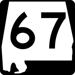
State Route 67 (SR 67) is a 47.107-mile-long (75.811 km) state highway in the U.S. state of Alabama that connects the city of Decatur to U.S. Route 231 at Rainbow Crossing in Blount County. This highway serves as a connector between Decatur and Gadsden.
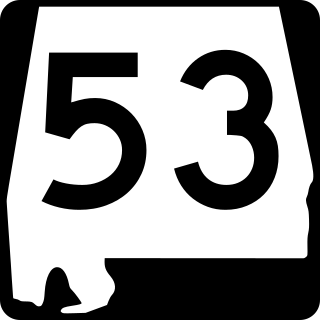
State Route 53 (SR 53) is a 345.287-mile (555.686 km) state highway in the U.S. state of Alabama. The majority, between Dothan and Huntsville, is signed as U.S. Route 231 (US 231), but the two ends – south to Florida and north to I-65/US 31 near Tennessee – are independent. In those areas, US 231 uses SR 1, sharing the route with US 431 north of Huntsville, where it is referred to as Memorial Parkway.

State Route 21 (SR 21) is a 279-mile (449 km) state highway that extends from the Florida state line, near Atmore in Escambia County to Piedmont in Calhoun County. The route travels almost the entire length of the state from the northeast to the southwest. It is the longest signed state route in Alabama.

State Route 9 (SR 9) is one of the longest state highways in the U.S. state of Alabama. From the Florida state line north to Montgomery, SR 9 is the unsigned partner route of U.S. Route 331 (US 331). As a signed route, the southern terminus of SR 9 is at its junction with US 231 and SR 21 at Wetumpka, and the northern terminus of the route is at the Georgia state line east of Cedar Bluff, where the route becomes State Route 20.

State Route 109 (SR 109) is a 9.907-mile-long (15.944 km) state highway in Houston County in the southeastern part of the U.S. state of Alabama. The southern terminus of the highway is at the Florida state line, where it serves as a continuation of State Road 77. The northern terminus of the highway is at an intersection with U.S. Route 231 (US 231) north of Madrid.

State Route 87 (SR 87) is a 61-mile-long (98 km) state highway that extends from the Florida state line, in Geneva County to Troy in Pike County. At the state line, the roadway continues as Florida State Road 81 (SR 81). Other cities and towns along the route include Elba, and Samson.
U.S. Route 231 (US 231) in Florida is a north–south United States Highway. It runs 52 miles (84 km) from Panama City north to the Alabama State Line in Bay and Jackson Counties. The entire route is also unsigned State Road 75, and is a four-lane highway throughout the state whether the road is divided or not.

State Route 27 (SR 27) is a 77.122-mile-long (124.116 km) state highway in the southeastern part of the U.S. state of Alabama. The southern terminus of the highway is at the Florida state line, where the route serves as a continuation of County Road 185. The northern terminus of the highway is at the intersection with SR 10 at Abbeville.

State Route 88 (SR 88) is a 3.310-mile-long (5.327 km) state highway completely within the city limits of Enterprise, in Coffee County. The western terminus of the highway is at an intersection with U.S. Route 84 north of town. The eastern terminus of the highway is at an intersection with SR 167/SR 192 in the southeastern part of town. SR 88 heads through downtown Enterprise before following Plaza Drive.

State Route 52 (SR 52) is an 82.805-mile-long (133.262 km) state highway in the southeastern part of the U.S. state of Alabama. The western terminus of the highway is at an intersection with U.S. Route 331 (US 331) at Opp. The eastern terminus of the highway is at the Georgia state line east of Columbia, where the highway crosses over the Chattahoochee River and enter Hilton, Georgia as Georgia State Route 62.

State Route 92 (SR 92) is an 11.019-mile-long (17.733 km) state highway in the southeastern part of the U.S. state of Alabama. The western terminus of the highway is at an intersection with SR 167 southeast of Enterprise. The eastern terminus of the highway is at an intersection with U.S. Route 84 (US 84) in rural Houston County north of the unincorporated community of Wicksburg.
U.S. Route 231 (US 231) in Alabama runs north–south up through the eastern half of Alabama for 306.273 miles (492.899 km). US 231 enters the state from Florida south of Madrid and exits into Tennessee, running councurrently with US 431 north of Hazel Green. US 231 passes through the major cities of Dothan, Troy, Montgomery, and Huntsville.
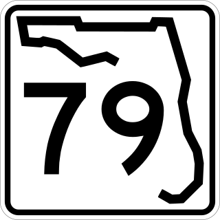
State Road 79 is a north–south highway in the panhandle of Florida. It is a popular route for tourists to and from the Panama City Beach area. The route begins at Alabama State Route 167 at the Alabama–Florida border and runs to its southern terminus at State Road 30 in Panama City Beach, Florida. Currently, the highway is being expanded to four lanes north of Panama City to the junction with Interstate 10. SR 79 is a major hurricane evacuation route from the coastal area. It is one of few designated routes northward between Pensacola and Panama City.
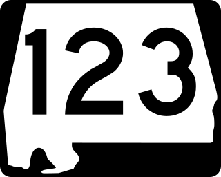
State Route 123 (SR 123) is a 45.750-mile (73.627 km) state highway that serves Geneva, Houston, and Dale counties as a connection between Hartford, Ozark, and Ariton. SR 123 intersects SR 167 and Geneva County Route 61 (CR 61) at its southern terminus, south of Hartford and US 231 at its northern terminus, west of Ariton.
State Road 276 is a state road in the panhandle of Florida. It runs west to east from former State Road 167 into U.S. Route 90 in and around Marianna entirely within Jackson County, although a bi-county extension exists between State Road 277 southwest of Chipley in Washington County that runs south then east into CR 167 which is signed as County Road 276 (CR 276). Most of the road is a two-lane undivided highway, with exceptions in the vicinity of Interstate 10, and if you count the bi-county portion, the overlapped segment with U.S. 231 where it changes from a four-lane undivided highway to a four-lane divided highway between Alford and Steele City.
State Route 125 (SR 125) is a 24.72-mile-long (39.78 km) state highway in Coffee and Pike counties in the southeastern part of the U.S. state of Alabama. The southern terminus of the highway is at U.S. Route 84 (US 84) and SR 87 in Elba. The northern terminus of the route is at an intersection with US 231 south of Brundidge.
State Route 605 (SR 605) is a 23.420-mile-long (37.691 km) state highway in Houston and Dale counties in the southeastern part of the U.S. state of Alabama. The southern terminus of the highway is at an intersection with U.S. Route 231 (US 231) south of Madrid. The northern terminus of the route is at another intersection with US 231 in Midland City.

