| Bagley Wood | |
|---|---|
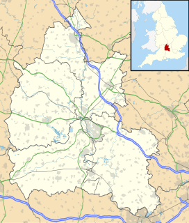
 | |
| Map | |
 | |
| Geography | |
| Location | Oxfordshire,England |
| OS grid | SP510024 |
| Coordinates | 51°43′05″N1°15′40″W / 51.7180°N 1.2611°W |
| Administration | |
| Governing body | St John's College, Oxford |
Bagley Wood is a wood in the parish of Kennington, in the Vale of White Horse district, between Oxford and Abingdon in Oxfordshire, England (in Berkshire until 1974). It is traversed from north to south by the A34 road, which was rerouted through the wood in 1972.