Related Research Articles

Nostell is a village in the City of Wakefield in West Yorkshire, England, near Hemsworth. It is in the civil parish of Huntwick with Foulby and Nostell, which had a population of 90 in 2001, and 164 at the 2011 census.

Selby District was a local government district of North Yorkshire, England, from 1974 to 2023. Its council was based in the town of Selby. The district had a population of 83,449 at the 2011 Census. The southernmost district of North Yorkshire, it bordered the City of York unitary authority, the Borough of Harrogate in North Yorkshire, the City of Leeds and City of Wakefield districts in West Yorkshire, the City of Doncaster in South Yorkshire, and the ceremonial county of the East Riding of Yorkshire.

The Borough of Harrogate was a local government district with borough status in North Yorkshire, England, from 1974 to 2023. Its council was based in the town of Harrogate, but it also included surrounding settlements, including the cathedral city of Ripon, and almost all of the Nidderdale Area of Outstanding Natural Beauty. At the 2011 Census, the borough had a population of 157,869.
Barlby is a linear village in the civil parish of Barlby with Osgodby, in North Yorkshire, England. It is situated 2 miles (3 km) to the north-east of the market town of Selby, and is bordered to the west by the River Ouse and to the east by the A19 Barlby bypass. Across the bypass is Barlby's smaller sister village, Osgodby.

Appleton Roebuck is a village and civil parish in the former Selby District of North Yorkshire, England. The village is about 9 miles (14 km) south-west of York. The civil parish includes the hamlets of Holme Green and Nun Appleton, and covers an area of around 2,900 acres (1,200 ha). The parish had a population of 692 according to the 2001 census, increasing to 871 in the 2021 census and including Acaster Selby.

Balne is a village and civil parish in the Selby District of North Yorkshire in England, south of Selby. According to the 2001 census the parish had a population of 231, reducing to 224 at the 2011 census. The parish is bound to the north-east by the East Riding of Yorkshire and to the south by the Metropolitan Borough of Doncaster in South Yorkshire.

Bilton-in-Ainsty with Bickerton is a civil parish in the Harrogate district of North Yorkshire, England. According to the 2001 census it had a population of 512, reducing to 463 at the 2011 Census.

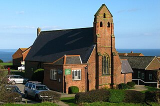
Cayton is a village and civil parish in the Scarborough borough of North Yorkshire, England, 4 miles (6 km) south of Scarborough.
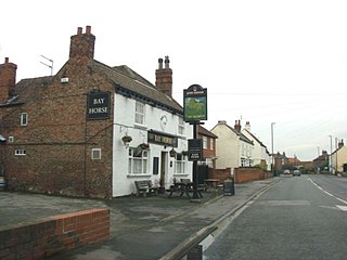
Osgodby is a village in the civil parish of Barlby with Osgodby, in North Yorkshire, England, 2 miles (3.2 km) from Selby.

Heworth Without is a civil parish and a ward in the City of York district, in the ceremonial county of North Yorkshire, England. Its boundary has changed over time. The ward is not coterminous with Heworth Without parish. While it consists today largely of those parts of Heworth that lay beyond the (pre-1996) city boundary, some areas such as Straylands Grove are within Heworth Without ward, but were also within the old city boundaries.

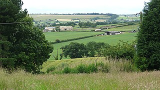
Hemingbrough is a small village and civil parish in North Yorkshire, England that is located approximately 5 miles (8 km) from Selby and 4 miles (6.4 km) from Howden on the A63. It was in the historic East Riding of Yorkshire, but since 1974 has come under North Yorkshire. The village has a 12th-century former collegiate church, a Methodist chapel and shops. The village also has a primary school and nursery as well as a playing field for the local children. The surrounding area makes up part of the Humberhead Levels and is flat land mainly used for mixed agriculture. It is thought that from this village came Walter of Hemingbrough, one of Britain's early chroniclers. Writing in the 14th century, he gave us a history beginning with the Norman conquest, now in the British Museum.

Wistow is a small village and civil parish just north of Selby, North Yorkshire, England. In the 2011 Census it had 1,333 residents; an increase from 2001 when there was 1,135. It was historically part of the West Riding of Yorkshire until 1974.

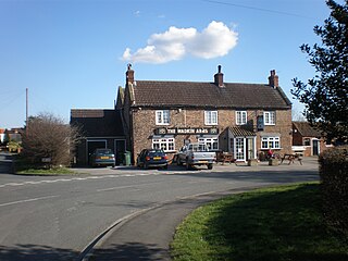
Hambleton is a small village and civil parish near to Selby in North Yorkshire, England. It is a ward of the Selby District and should not be confused with the Hambleton District, another district of North Yorkshire.
Osgodby is a village and civil parish in the district and county of North Yorkshire, England. Until 2023, it was in the borough of Scarborough.

Cliffe is a small village and civil parish in North Yorkshire, England. It was historically part of the East Riding of Yorkshire until 1974, but from 1974 to 2023 was in the Selby District of the shire county of North Yorkshire. In 2023 the district was abolished and North Yorkshire became a unitary authority.
Spofforth with Stockeld is a civil parish in the Harrogate district of North Yorkshire, England.

The Milton Keynes urban area or Milton Keynes Built-up Area is a designation established by the United Kingdom's Office for National Statistics. Milton Keynes has no statutory boundary: the 1967 designated area only determined the area assigned to the Milton Keynes Development Corporation for development. The wider urban area outside that designation includes Newport Pagnell and Woburn Sands as well as Aspley Guise (Bedfordshire) and part of Stoke Hammond civil parish.
Stainborough is a civil parish in the Metropolitan Borough of Barnsley in South Yorkshire, England. At the 2001 census it had a population of 399, reducing slightly to 390 at the 2011 Census.
Heck is a civil parish in the English county of North Yorkshire. The population of this civil parish at the census 2011 was 201, a slight drop on the 2001 census figure of 209.
References
- ↑ UK Census (2001). "Local Area Report – Barlby with Osgodby Parish (36UH008)". Nomis. Office for National Statistics . Retrieved 13 September 2019.
- ↑ UK Census (2011). "Local Area Report – Barlby with Osgodby Parish (E04007714)". Nomis. Office for National Statistics . Retrieved 13 September 2019.
| International | |
|---|---|
| National | |
53°48′01″N1°01′25″W / 53.80031°N 1.02369°W
| | This North Yorkshire location article is a stub. You can help Wikipedia by expanding it. |