
Yeongju is a city in the far north region of North Gyeongsang province in South Korea, covering 668.84 km2 with a population of 113,930 people according to the 2008 census. The city borders Bonghwa county to the east, Danyang county of North Chungcheong province to the west, Andong city and Yecheon county to the south, and Yeongwol county of Gangwon province to the north.

Yeongcheon is a city in North Gyeongsang Province, South Korea.
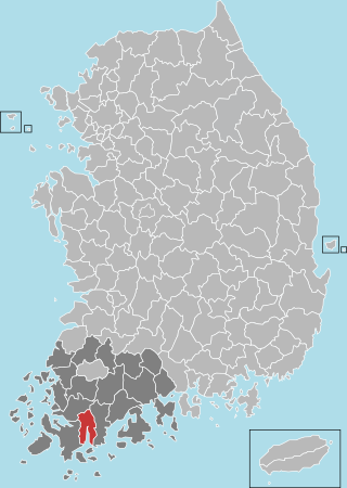
Gangjin County is a county in South Jeolla Province, South Korea. Gangjin county proper was established in 1895. The county office is located in Gangjin-eup.

Goheung County is a county in Jeollanam-do Province, South Korea.

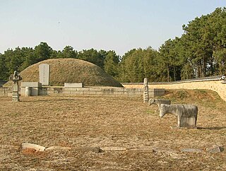
Imsil County is a county in North Jeolla Province, South Korea. Imsil County is a county in central South Jeolla Province, South Korea. It is an area upstream of the Seomjingang River in the Noryeongsan Mountains, and there is a basin that runs southeast to Namwon. The county office is located in Imsil-eup, and the administrative district is 11 myeon, 1eup.

Gapyeong County (Korean: 가평군), alternatively Kapyong County, is a county in Gyeonggi Province, South Korea. It was the scene of the Battle of Kapyong, a major battle of the Korean War.

Gwangju is a city in Gyeonggi Province, South Korea, a suburb southeast of Seoul. The city is not to be confused with the much larger Gwangju Metropolitan City, former capital of South Jeolla Province, or Guangzhou, the city of Guangdong, China in Hanja.

Anseong is a city in Gyeonggi Province, South Korea, 80 kilometres (50 mi) south of Seoul. Its geographical location is 37°0′N127°16′E.

Icheon is a city in Gyeonggi Province, South Korea.

Namyangju is a city in Gyeonggi Province, South Korea. To the east is Gapyeong County, to the west is Guri, and to the north is Pocheon. Namyangju was originally a southern part of Yangju-gun, but was separated into Namyangju-gun in April 1980. In 1995, Migeum-si and Namyangju-gun were merged to form an urban and rural complex. The city hall is located in Geumgok-dong and Dasan-dong, and the administrative districts are 6-eup, 3-myeon, and 7-dong.

Pocheon (Korean: 포천; Korean pronunciation:[pʰo.tɕʰʌn]) is an inland city in the far northeastern region of Gyeonggi province in South Korea. It covers 826.48 km (513.55 mi)2 with a population of 160,176 people, according to the 2008 census. Pocheon lies between Seoul and the mountainous northwestern areas of Gangwon province. The city borders Yeoncheon county, with the cities of Dongducheon and Yangju to the west, along with Uijeongbu, and Namyangju of Gyeonggi province to the south. It also borders Hwacheon county of Gangwon province on its eastern border and Cheorwon is to the north. Alongside the adjoining Gapyeong, Pocheon consists of the highest mountainous areas in Gyeonggi province. The current city of Pocheon was created after Pocheon-hyeon and Yeongpyeong counties were merged. The north part of the city used to be part of Yeongpyeong county while the south used to be part of Pocheon-hyeon.

Mungyeong is a city in North Gyeongsang Province, South Korea. The local government, economy, and transportation networks are all centered in Jeomchon, the principal town. Mungyeong has a lengthy history, and is known today for its various historic and scenic tourist attractions. The city's name means roughly "hearing good news." Recently, development has been somewhat stagnant with the decline of the coal industry. Since the 1990s, the proportion of people who rely on the tourism industry through Mungyeong Saejae has gradually increased.
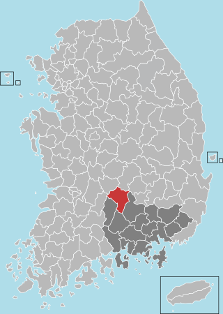
Sangju is a city in North Gyeongsang Province, central South Korea. Although Sangju is rather rural, it is very old and was once a key city. Along with Gyeongju, it gives rise to half of the name of the Gyeongsang provinces. Sangju is nicknamed Sam Baek, or "Three Whites", referring to three prominent agricultural products rice, silkworm cocoons, and dried persimmons from the area.

Bonghwa County (Bonghwa-gun) is a county in North Gyeongsang Province, South Korea. It lies inland, at the northern edge of the province, and borders Gangwon province to the north. To the east it is bounded by Yeongyang and Uljin counties, to the south by Andong, and to the west by Yeongju. The county is ringed by the Taebaek and Sobaek Mountains, the highest of which is Taebaeksan (1,566.7m). Because of its mountainous location, Bonghwa has a colder climate than most of the province, with an average annual temperature of 10 °C (50 °F).

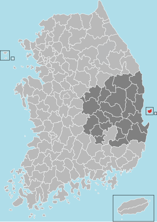
Uiseong County (Uiseong-gun) is a county in Gyeongsangbuk-do Province, South Korea. Located near the center of the province, it is bounded by Andong on the north, Cheongsong on the east, Gunwi County on the south, and Sangju and Yecheon on the west. As in most parts of Korea, most of the land is vacant and forested; only about 19% of the county's area is farmland. The county is largely rural, with an economy dominated by agriculture; the only urbanized area is the county seat, Uiseong-eup.
Ulleung County is a county in North Gyeongsang Province, South Korea.

Yeongdeok County (Yeongdeok-gun) is a county in North Gyeongsang Province, South Korea. It is well known for snow crabs.
Geochang County is a county in South Gyeongsang Province, South Korea. The Geochang International Festival of Theater, which was started in 1989, is renowned as the best play festival in Korea. The District Office is located in Geochang-eup, and has jurisdiction over 1 eup and 11 myeon.

Namhae County (Namhae-gun) is a county in South Gyeongsang Province, South Korea.
Daegwallyeong-myeon is a myeon (township) in the county of Pyeongchang in the province of Gangwon-do, South Korea. It is located in the northeastern part of the county. The total area of Daegwallyeong-myeon is 221.63 square kilometers (85.57 sq mi), and, as of 2008, the population was 6,162 people. The myeon was named Doam-myeon until 2007. Daegwallyeong-myeon is named after the important mountain pass of Daegwallyeong. It has the coldest average temperature in South Korea.


