Hoddles Creek is a bounded rural locality near Melbourne in Victoria, Australia, located within the Shire of Yarra Ranges local government area. Hoddles Creek recorded a population of 676 at the 2021 census.
Kandanga Creek is a rural locality in the Gympie Region, Queensland, Australia. In the 2016 census, Kandanga Creek had a population of 118 people.

Lankeys Creek is a rural community in the east part of the Riverina. It is situated by road, about 18 kilometres north west of Jingellic and 36 kilometres south east of Holbrook.
Wheeny Creek is a locality of Sydney, in the state of New South Wales, Australia. It is located in the City of Hawkesbury north-east of Kurrajong.
Mogo Creek is a locality within the City of Hawkesbury, in outer metropolitan Sydney, in the state of New South Wales, Australia. It is located south-west of the town of Bucketty. Mangrove Creek Dam is within the locality, and the western half of the locality is within Yengo National Park. Mogo Creek runs adjacent to the locality.

Jambin is a rural town and locality in the Shire of Banana, Queensland, Australia.

Banks Creek is a rural locality split between the City of Brisbane and Somerset Region in Queensland, Australia. The locality is also split for the purposes of state and federal elections. In the 2016 census, Banks Creek had a population of 5 people.
England Creek is a rural locality split between Somerset Region and City of Brisbane, Queensland, Australia. In the 2016 census, England Creek had a population of 33 people.
Big Pats Creek is a bounded rural locality in Victoria, Australia to the south of Woods Point Road beyond Warburton, located within the Shire of Yarra Ranges local government area. Big Pats Creek recorded a population of 60 at the 2021 census.
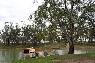
Speewa is a rural locality in the Riverina District of New South Wales, Australia near the Murray River in Murray River Council local government area.

East Greenmount is a rural town and locality in the Toowoomba Region, Queensland, Australia. In the 2016 census, the locality of East Greenmount had a population of 361 people.

Spring Creek is a rural locality split between the Toowoomba Region and the Southern Downs Region, Queensland, Australia. In the 2016 census, Spring Creek had a population of 194 people.
Kennedy is a coastal locality in the Cassowary Coast Region, Queensland, Australia. In the 2016 census, Kennedy had a population of 161 people.

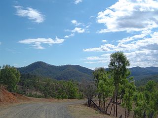
Coghills Creek is a locality in central Victoria, Australia. The locality is in the City of Ballarat local government area, 136 kilometres (85 mi) west of the state capital, Melbourne.
Kanigan is a rural locality split between the Fraser Coast Region and the Gympie Region, both in Queensland, Australia. In the 2016 census Kanigan had a population of 114 people.
Cona Creek is a locality in the Central Highlands Region, Queensland, Australia. At the 2021 census, Cona Creek had a population of 57 people.
Wallaces Creek is a rural locality in the Scenic Rim Region, Queensland, Australia. In the 2016 census, Wallaces Creek had a population of 58 people.
McIntosh Creek is a rural locality in the Gympie Region, Queensland, Australia.
Theresa Creek is a rural locality in the Central Highlands Region, Queensland, Australia. At the 2021 census, Theresa Creek had a population of 42 people.
Carbine Creek is a rural locality in the Central Highlands Region, Queensland, Australia. At the 2021 census, Carbine Creek had a population of 33 people.
