Caniapiscau Aerodrome | |||||||||||
|---|---|---|---|---|---|---|---|---|---|---|---|
| Summary | |||||||||||
| Airport type | Private | ||||||||||
| Operator | Société de gestion de l'aéroport du Lac Pau | ||||||||||
| Location | Caniapiscau, Quebec | ||||||||||
| Time zone | EST (UTC−05:00) | ||||||||||
| • Summer (DST) | EDT (UTC−04:00) | ||||||||||
| Elevation AMSL | 1,672 ft / 510 m | ||||||||||
| Coordinates | 54°50′16″N069°53′34″W / 54.83778°N 69.89278°W Coordinates: 54°50′16″N069°53′34″W / 54.83778°N 69.89278°W | ||||||||||
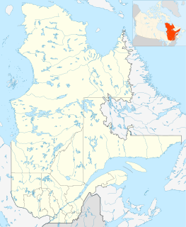
| Map | |||||||||||
| Runways | |||||||||||
| |||||||||||
Source: Canada Flight Supplement [1] | |||||||||||
Caniapiscau Aerodrome, formerly TC LID : CCP6, was located near Caniapiscau in Quebec, Canada.

