Lima is the capital and the largest city of Peru. It is located in the valleys of the Chillón, Rímac and Lurín Rivers, in the desert zone of the central coastal part of the country, overlooking the Pacific Ocean. Together with the seaport of Callao, it forms a contiguous urban area known as the Lima Metropolitan Area. With a population of more than 9.5 million, Lima is one of the largest cities in the Americas.
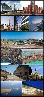
Callao is a seaside city and region on the Pacific Ocean in the Lima metropolitan area. Callao is Peru's chief seaport and home to its main airport, Jorge Chávez International Airport. Callao municipality consists of the whole Callao Region, which is also coterminous with the Province of Callao. Founded in 1537 by the Spanish, the city has a long naval history as one of the main ports in Latin America and the Pacific, as it was one of vital Spanish towns during the colonial era. Central Callao is about 15 km (9.3 mi) west of the Historic Centre of Lima.

The administrative divisions of Peru have changed from time to time since the nation gained independence from Spain in the early 19th century. The old territorial subdivisions have split or merged due to several reasons, the most common ones being the need for decentralization and population increase, especially in Lima.

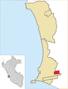
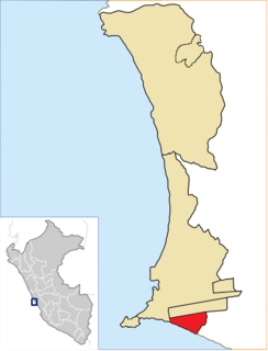
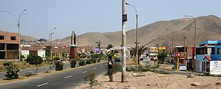
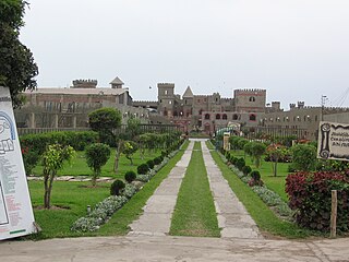
Chorrillos is a district of the Lima Province in Peru and part of the city of Lima. It gets its name from the Spanish word for "trickle of water". The district was founded as San Pedro de los Chorrillos and served as a deluxe beach resort until the late 19th century, when it was almost completely destroyed by Chilean forces during the War of the Pacific.

The Lima Metro is a rapid transit system that serves the area of the cities of Lima and Callao, both of which make up the Lima metropolitan area, currently linking the district of Villa El Salvador in the south of Lima with San Juan de Lurigancho in the northeast of the same city.

Lima is a district of Lima Province in Peru. Lima district is the oldest in Lima Province and as such, vestiges of the city's colonial era remain today in the Historic centre of Lima, which was declared a UNESCO World Heritage Site in 1988 and contains the foundational area known as Cercado de Lima.
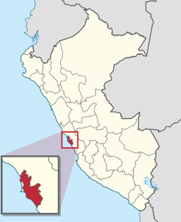
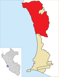
Lima Province is located in the central coast of Peru and is the only province in the country not belonging to any of the twenty-five regions. Its capital is Lima, which is also the nation's capital.

The Lima Metropolitan Area is an area formed by the conurbation of the Peruvian provinces of Lima and Callao. It is the largest of the metropolitan areas of Peru, the seventh largest in the Americas, the fourth largest in Latin America, and among the thirty largest in the world. The conurbation process started to be evident in the 1980s.
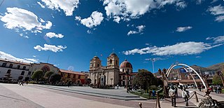
Huancayo is the capital of Junín Region, in the central highlands of Peru.

La Punta is a district of the Constitutional Province of Callao in Peru, and one of the seven districts that make up the port city of Callao. It is located in a peninsula in the western part of the province and is almost entirely surrounded by the Pacific Ocean, except on its northeastern side, where it is bordered by downtown Callao.

San Martín de Porres (SMP) is a district in Lima, Peru, located in the area known as Cono Norte. It is bordered by the district of Callao on the west; Los Olivos on the northeast; and the Rímac and Independencia districts on the east. The Rímac River marks its natural border with downtown Lima and Callao province's district of Carmen de la Legua Reynoso on the south; while the Chillón River, on the north, marks San Martín de Porres' border with Ventanilla, also in Callao, and Puente Piedra.

Bellavista is a district of the Constitutional Province of Callao in Peru, and one of the seven districts that comprise the port city of Callao.

Callao is one of the seven districts of the Constitutional Province of Callao in the Callao Region, Peru. The Chillón River marks the district's northern border with Ventanilla. On the east, the Callao district is bordered by the Carmen de la Legua-Reynoso as well as the Lima Province's districts of San Martín de Porres and Lima. The Bellavista and the La Perla districts are located to the southeast, while La Punta borders the district on the west. The Pacific Ocean borders the province on the west and south. At 1956, it expanded to the north, encompassing latifunds, lands and estates that belonged to the San Martín de Porres District and the Carabayllo district. During this expansion, the Jorge Chávez International Airport is built.
Ventanilla is a district of the Constitutional Province of Callao in Peru, and one of the seven districts that comprise the port city of Callao. Covering more than half of the province's territory, it is Callao's largest district.
La Perla is a district of the Constitutional Province of Callao in Peru, and one of the seven districts that comprise the port city of Callao.
Santa Rosa is a district of the Lima Province in Peru. Officially established as a district on February 6, 1962. The district's postal code is 38. It limits to the north and the east with the Ancón District, to the west with the Pacific Ocean, to the south with the Ventanilla District.

Carabayllo is one of the 43 districts of the province Lima in Peru. It is located in the Cono Norte area of the province and was founded by General José de San Martín in August 1821 at which time it was the only district to occupy the area north of the Rímac River up to the province Canta.

According to the Organic Law of Regional Governments, the regions are, with the departments, the first-level administrative subdivisions of Peru. Since its 1821 independence, Peru had been divided into departments but faced the problem of increasing centralization of political and economic power in its capital, Lima.
Chancay District is one of twelve districts of the province Huaral in Peru.