This article includes a list of references, related reading, or external links, but its sources remain unclear because it lacks inline citations .(December 2022) |
| Cerro Tres Picos | |
|---|---|
 View of Cerro Tres Picos from Saldungaray. | |
| Highest point | |
| Elevation | 1,239 m (4,065 ft) [1] |
| Prominence | 1,076 m (3,530 ft) [2] |
| Isolation | 637.54 km (396.15 mi) [1] |
| Listing | Ribu |
| Coordinates | 38°9′29″S61°57′6″W / 38.15806°S 61.95167°W |
| Naming | |
| English translation | Three Peaks Hill |
| Language of name | Spanish |
| Geography | |
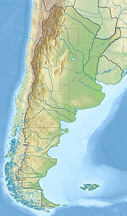 Cerro Tres Picos | |
| Parent range | Sierra de la Ventana |
Cerro Tres Picos is the highest point of the Sierra de la Ventana mountain range in the province of Buenos Aires, Argentina. As such, it is also the highest point in Buenos Aires province, as well as in the pampas region.