
Maine-et-Loire is a department in the Loire Valley in the Pays de la Loire region in Western France. It is named after the two rivers, Maine and the Loire. It borders Mayenne and Sarthe to the north, Loire-Atlantique to the west, Indre-et-Loire to the east, Vienne and Deux-Sèvres to the south, Vendée to the south-west, and Ille-et-Vilaine to the north-west. It also borders Ille-et-Vilaine in the north for just 20 yards (19 m), France's shortest department boundary. Its prefecture is Angers; its subprefectures are Cholet, Saumur and Segré-en-Anjou Bleu. Maine-et-Loire had a population of 818,273 in 2019.

Loire-Atlantique is a department in Pays de la Loire on the west coast of France, named after the river Loire and the Atlantic Ocean. It had a population of 1,429,272 in 2019.

Pays de la Loire is one of the 18 regions of France, in the west of the mainland. It was created in the 1950s to serve as a zone of influence for its capital, Nantes, one of a handful of "balancing metropolises" ¹.

Fontevraud-l'Abbaye is a commune in the western French department of Maine-et-Loire. It is situated both in the Loire Valley, a UNESCO World Heritage Site between Chalonnes-sur-Loire and Sully-sur-Loire, and the Loire Anjou Touraine French regional natural park.

The arrondissement of Angers is an arrondissement of France in the Maine-et-Loire department in the Pays de la Loire region. It has 66 communes. Its population is 380,215 (2016), and its area is 1,740.7 km2 (672.1 sq mi).

The arrondissement of Segré is an arrondissement of France in the Maine-et-Loire department in the Pays de la Loire region. It has 27 communes. Its population is 70,805 (2016), and its area is 1,295.5 km2 (500.2 sq mi).
The following is a list of the 21 cantons of the Maine-et-Loire department, in France, following the French canton reorganisation which came into effect in March 2015:
Baugé is a former commune in the Maine-et-Loire département in western France. On 1 January 2013, it was merged with the former communes of Montpollin, Pontigné, Saint-Martin-d'Arcé and Le Vieil-Baugé to create the commune of Baugé-en-Anjou. Since then it is a commune déléguée of this commune.

Bléré is a commune in the Indre-et-Loire department in central France.

Tavers is a commune in the Loiret department in north-central France.
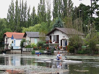
Olivet is a commune in the Loiret department in north-central France.
Chalonnes-sous-le-Lude is a former commune in the Maine-et-Loire department in western France. On 15 December 2016, it was merged into the new commune Noyant-Villages.

Châteauneuf-sur-Sarthe is a former commune in the Maine-et-Loire department of western France. On 1 January 2019, it was merged into the commune Les Hauts-d'Anjou. It is approximately 175 miles (280 km) from Paris. It had a population of 3,207 in 2017. The river Sarthe flows to the east of the town near where the Sarthe and river Mayenne join to form the river Maine.
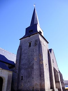
Marcé is a commune in the Maine-et-Loire department in western France.

Le May-sur-Èvre is a commune in the Maine-et-Loire department in western France. The population in 2018 was just under 4,000.

Les Rosiers-sur-Loire is a former commune in the Maine-et-Loire department in the Pays de la Loire Region in western France. On 1 January 2018, it was merged into the commune of Gennes-Val-de-Loire.
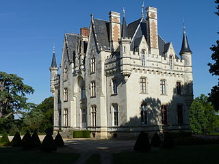
Seiches-sur-le-Loir is a commune in the Maine-et-Loire department in western France. It is around 20 km north-east of Angers.
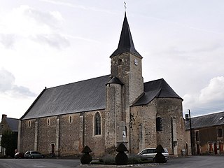
Noyant-Villages is a commune in the Maine-et-Loire department of western France. The municipality was established on 15 December 2016 and consists of the former communes of Auverse, Breil, Broc, Chalonnes-sous-le-Lude, Chavaignes, Chigné, Dénezé-sous-le-Lude, Genneteil, Lasse, Linières-Bouton, Meigné-le-Vicomte, Méon, Noyant and Parçay-les-Pins.
The canton of Chalonnes-sur-Loire is an administrative division of the Maine-et-Loire department, in western France. Its borders were modified at the French canton reorganisation which came into effect in March 2015. Its seat is in Chalonnes-sur-Loire.


