
Route 216 is a numbered state highway running 8.1 miles (13.0 km) in Rhode Island. It runs from U.S. Route 1 in Charlestown north to the Connecticut state line, where it continues as Connecticut Route 216.

Vermont Route 102 (VT 102) is a north–south state highway in Essex County, Vermont, in the United States. It follows the west bank of the Connecticut River and parallels U.S. Route 3 (US 3), which is routed along the river's east bank in New Hampshire. The southern terminus of the route is at US 2 in Guildhall. Its northern terminus is at VT 114 and VT 253 in Canaan. VT 102 is 43.755 miles (70.417 km) long and connects to six highways that traverse the Connecticut River.

Connecticut Route 10 is a state highway that runs from Interstate 95 (I-95) in New Haven Massachusetts state line, where it continues as Massachusetts Route 10, which in turn continues directly to New Hampshire Route 10.

Route 110 is a state highway in Connecticut running for 15.95 miles (25.67 km) from Interstate 95 (I-95) in Stratford to Route 111 in Monroe.

Route 194, known as Sullivan Avenue for its entire length, is a Connecticut state highway located entirely within the town of South Windsor. It connects the historic village of East Windsor Hill to the town center.

Route 318 is a state highway in northern Connecticut running entirely in Barkhkamsted.
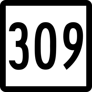
Route 309 is a Connecticut state highway in the northwestern Hartford suburbs running from Canton to Simsbury.
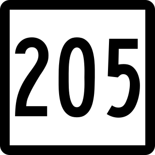
Route 205 is a state highway in eastern Connecticut, running from the village of Wauregan in Plainfield to the town center of Brooklyn.

Route 209 is a rural state highway in northwestern Connecticut, running from the Lakeside part of Morris to the borough of Bantam in the town of Litchfield.
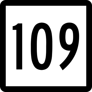
Route 109 is a state highway in western Connecticut, running from New Milford to Thomaston.
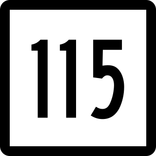
Route 115 is a Connecticut state highway in the Lower Naugatuck River Valley area, running from Route 34 in Derby to Route 67 in Seymour. The road runs along the east bank of the lower Naugatuck River.

Route 136 is a state highway in southwestern Connecticut, running from Darien to Easton. The route was initially established in 1932 to serve the beach communities between Darien and Southport. Its eastern end was relocated in 1963 to head northeast from Westport to Easton instead.

Route 156 is a Connecticut state highway running from East Haddam to Waterford.

Route 157 is a state highway in central Connecticut from northwestern Durham, through Middlefield to Middletown.
Route 167 is a Connecticut state highway in the western suburbs of Hartford, running from the Unionville section of Farmington to Simsbury center.

Route 177 is a state highway in central Connecticut, running from Plainville to Canton.

Route 184 is a state highway in southeastern Connecticut, running from Groton to North Stonington.

Route 185 is a Connecticut state highway in the western Hartford suburbs, running from Simsbury to West Hartford.

Route 189 is a 22.43-mile-long (36.10 km) state route in the U.S. states of Connecticut and Massachusetts. The route begins in the northwestern portion of the Connecticut state capital of Hartford and ends in the rural town of Granville. In Massachusetts, the route is not a state highway and is maintained by the town of Granville.
State Route 315, also known as Tellico-Reliance Road, is a 15.0-mile-long (24.1 km) north–south state highway in the Unicoi Mountains region of southeastern East Tennessee.

