Ayrshire is a historic county and registration county, in south-west Scotland, located on the shores of the Firth of Clyde. The lieutenancy area of Ayrshire and Arran covers the entirety of the historic county as well as the island of Arran, formerly part of the historic county of Buteshire. Its principal towns include Ayr, Kilmarnock and Irvine and it borders the counties of Renfrewshire and Lanarkshire to the north-east, Dumfriesshire to the south-east, and Kirkcudbrightshire and Wigtownshire to the south. Like many other counties of Scotland, it currently has no administrative function, instead being sub-divided into the council areas of East Ayrshire, North Ayrshire and South Ayrshire. It has a population of approximately 366,800.

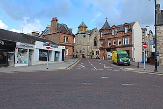
Cumnock is a town and former civil parish located in East Ayrshire, Scotland. The town sits at the confluence of the Glaisnock Water and the Lugar Water. There are three neighbouring housing projects which lie just outside the town boundaries, Craigens, Logan and Netherthird, with the former ironworks settlement of Lugar also just outside the town, contributing to a population of around 13,000 in the immediate locale. A new housing development, Knockroon, was granted planning permission on 9 December 2009 by East Ayrshire Council.

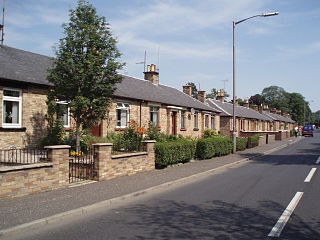
Auchinleck is a village 5 miles (8 km) southeast of Mauchline, and 2 miles (3 km) northwest of Cumnock in East Ayrshire, Scotland.

Auchinleck House is an 18th-century mansion in Scotland. It is situated near the town of Auchinleck near Cumnock and Ayr in East Ayrshire. The Auchinleck Estate has been inhabited since the 13th century, and the remains of Auchinleck Castle and Auchinleck Old House stand in the estate. The house is protected as a category A listed building, while the two ruined dwellings are scheduled monuments.

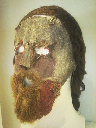
Alexander Peden, also known as "Prophet Peden", was one of the leading figures in the Covenanter movement in Scotland.

Ochiltree is a conservation village in East Ayrshire, Scotland, near Auchinleck and Cumnock. It is one of the oldest villages in East Ayrshire, with archaeological remains indicating Stone Age and Bronze Age settlers. A cinerary urn was found in 1955 during excavation for a new housing estate.

Kilmaurs is a village in East Ayrshire, Scotland which lies just outside of the largest settlement in East Ayrshire, Kilmarnock. It lies on the Carmel Water, 21 miles southwest of Glasgow. Population recorded for the village in the 2001 Census recorded 2,601 people resided in the village It was in the Civil Parish of Kilmaurs.

Lasswade is a village and civil parish in Midlothian, Scotland, on the River North Esk, nine miles south of Edinburgh city centre, contiguous with Bonnyrigg and between Dalkeith to the east and Loanhead to the west. Melville Castle lies to the north east. The Gaelic form is Leas Bhaid, meaning the "clump at the fort."

New Cumnock is a town in East Ayrshire, Scotland. It expanded during the coal-mining era from the late 18th century, and mining remained its key industry until its pits were shut in the 1960s. The town is 5+3⁄4 miles southeast of Cumnock, and 21 miles east of Ayr.

Trabboch is a hamlet in East Ayrshire, Scotland. Built as a miners village in the 1880s, it was owned and leased by Wm. Baird & Co., Ltd. and at one time had 94 dwellings. The miners rows stood, until demolition in 1969, on the Stair and Littlemill road, about two miles south of Stair, in that parish. The name is locally pronounced 'Traaboch'.

Lugar is a small village in East Ayrshire, southwest Scotland. Lugar is in Auchinleck Parish, Kyle District, Ayrshire. It is 1.5 miles (2.4 km) ENE of Cumnock, and about 1-mile (1.6 km) from Cronberry and 2 miles (3.2 km) from Gaswater. Lugar was a station on the Mauchline and Muirkirk branch of the Glasgow and South Western Railway. Lugar is about 16.5 miles (26.6 km) SE of Kilmarnock.
A moot hill or mons placiti is a hill or mound historically used as an assembly or meeting place, as a moot hall is a meeting or assembly building, also traditionally to decide local issues. In early medieval Britain, such hills were used for "moots", meetings of local people to settle local business. Among other things, proclamations might be read; decisions might be taken; court cases might be settled at a moot. Although some moot hills were naturally occurring features or had been created long before as burial mounds, others were purpose-built.

Cronberry is a small hamlet situated north-east of Cumnock and one mile north-east of Lugar, in East Ayrshire, Scotland.

Peden's Cave is at least partly artificial and is set into a craggy outcrop of red sandstone rocks overlooking the River Lugar just below the farm of Auchinbay in East Ayrshire, Scotland, close to the town of Ochiltree. Traditionally it is said that this cave was used as a hiding place for Covenanters, including the famous Covenanter minister Alexander Peden in the 17th century, mainly during the so-called 'Killing Times' of the 1680s.

Wallace's Cave in the Lugar Gorge at Auchinleck in the Parish of Auchinleck is an 18th-century grotto contemporary with Dr Johnson's Summerhouse, also located on the Auchinleck Estate. It shows superior workmanship in its construction, possibly being the enlargement of a pre-existing cave. The cave or grotto lies downstream of the confluence of the Dippol Burn with the River Lugar and is reached via a once well formed path, however access is now hazardous due to the condition of the cliff edge path and the vertical drop into the River Lugar.

Murdoch's Cave, is a relatively small artificial cave created by William Murdoch (1754-1839) and his siblings in the soft red sandstone Lugar river bank cliff just upstream of the old Bellow Mill close to the confluence of the Bellow or Bello Water and the Glenmuir Water in Lugar, East Ayrshire, Scotland. The spelling 'Bellow' is used for consistency.

Cumnock Town Hall is a municipal building in Glaisnock Street, Cumnock, East Ayrshire, Scotland. The structure, which is used as a community events venue, is a Category C listed building.
Cumnock Burgh was one of 10 electoral wards of Cumnock and Doon Valley District Council. Created in 1974, the ward elected one councillor using the first-past-the-post voting electoral system.


