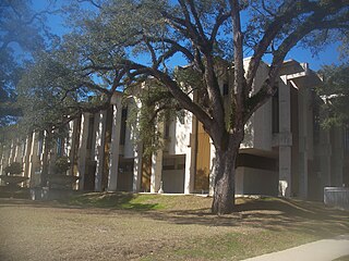
Cypress Lakes was a census-designated place (CDP) in Palm Beach County, Florida, United States. The population was 1,468 at the 2000 census.

Baldwin is a city in Jackson County, Iowa, United States. The population was 109 at the 2010 census.

Henderson is a town in Caroline County, Maryland. The population was 146 at the 2010 United States Census. It was named for a stockholder of the Delaware and Chesapeake Railroad.
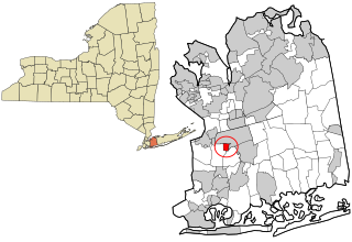
Garden City South is a hamlet and census-designated place (CDP) in Nassau County, New York, United States. The population was 4,024 at the 2010 census.
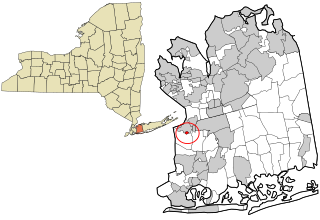
South Floral Park is a village in Nassau County, New York, United States. United States. The population was 1,764 at the 2010 census.

The Gates of Lodore is the scenic entrance to the Canyon of Lodore, a canyon on the Green River in northwestern Colorado, United States. The name Gates of Lodore has become synonymous with the canyon itself and the two names are used interchangeably. The Canyon commences as the Green River departs Browns Park and cuts through the Uinta Mountains meandering eighteen miles until its end at Echo Park (Colorado), the confluence of the Green and Yampa River. It was named by the Powell Expedition after the English poem Cataract of Lodore. It is located in Dinosaur National Monument.
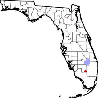
The Big Cypress Indian Reservation is one of the six reservations of the Seminole Tribe of Florida. It is located in southeastern Hendry County and northwestern Broward County, in southern Florida, United States. Its location is on the Atlantic coastal plain. This reservation lies south of Lake Okeechobee and just north of Alligator Alley. It is governed by the Seminole Tribe of Florida's Tribal Council, and is the largest of the five Seminole reservations in the state. Facilities on the reservation include the tribal museum and a major entertainment and rodeo complex.

Dunmore is a hamlet in Alberta, Canada within Cypress County, located 2.6 kilometres (1.6 mi) southeast of Medicine Hat's city limits on Highway 1 and the Canadian Pacific Railway mainline. A portion of the hamlet is recognized as a designated place by Statistics Canada.
Rollins Corner is an unincorporated community in Calhoun County, Florida, United States. It is located on State Road 20.

The Father David Bauer Olympic Arena is an ice hockey arena in Calgary, Alberta, Canada. It seats about 1,750 for hockey with a standing room capacity of over 2,000. It is named after Father David Bauer, a Hockey Hall of Famer and hockey pioneer.

Bangor Base is a census-designated place (CDP) in Kitsap County, Washington, within U.S. Naval Base Kitsap on the Kitsap Peninsula. Its population was 6,054 at the 2010 census.
Broad Branch is an unincorporated community in Calhoun County, Florida, United States. The community is located at the west end of County Road 392, and is named for a tributary to Cypress Creek.
The Albion Precinct is a now-defunct precinct in Edwards County, Illinois. It was home to Albion, Illinois, the county's seat. Albion Precinct was split up into Albion No. 1 Precinct, Albion No. 2 Precinct, and Albion No. 3 Precinct.

Five Mile Terrace is an unincorporated community in El Dorado County, California. It is located 2 miles (3.2 km) west of Camino, at an elevation of 2933 feet.
Two Forks is an unincorporated community in Teton County, Idaho, United States. The name refers to a nearby area where the Teton River splits into two streams and then reforms. It was collected by the United States Geological Survey between 1976 and 1979, and entered into the Geographic Names Information System on June 21, 1979.
Waco is a populated place and former town site located in Yellowstone County, Montana, United States. The elevation is 2,785 feet (849 m).
Rosedale is a ghost town in Boyd County, Nebraska, in the United States.
Five Points is an unincorporated community in Washington County, Florida, United States. It is located along State Road 280 north of Vernon. It primarily based on the Five Points Recreation Center.

Mount Sterling is an unincorporated community in Jefferson Township, Switzerland County, in the U.S. state of Indiana.

